
Skiing in Abruzzo – snow report
The most popular ski resorts, the updated snow report and useful information on how to find lifts or book accommodation for your winter holiday


The westernmost valley of Abruzzo, between the Simbruini and Ernici mountains and the Serra Lunga ridge: the Liri river, castles and old hilltop villages, hermitages in the rock, chestnut woods and one of the highest waterfalls in the Apennines.
The most popular ski resorts, the updated snow report and useful information on how to find lifts or book accommodation for your winter holiday

View the webcams in Abruzzo and check real‑time weather conditions. Some webcams belong to www.abruzzoparchi.it, others are located throughout the region

Weather forecasts for the coming days in Abruzzo. Live weather via our webcams and temperatures recorded in several mountain areas
Maps for trekking, mountain biking, ski touring, running and horse riding. You can also download the GPX track of each route
Abruzzo’s villages are famous for their fortresses, mountains and the traditional trabocchi along the southern coast
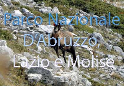
One of Italy’s most famous and oldest national parks
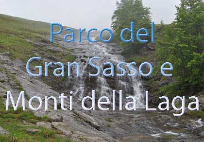
Located in the heart of the Apennines, home to the beautiful villages of the Rocche Plateau
One of the snowiest places in Italy, a unique mountain massif rising close to the sea
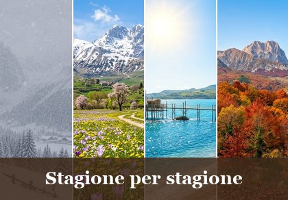
Choose between sea or mountains, summer or winter, a sporty holiday or a relaxing one — Abruzzo has it all

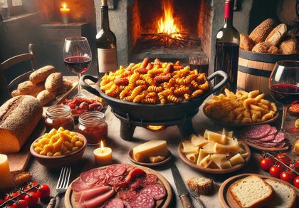
Abruzzo is famous for its cuisine, both mountain and coastal, with traditions that vary from area to area
Walks, diving, climbing, mountain biking, horse riding — all outdoor activities available in Abruzzo
From Castellafiume to Balsorano, eight municipalities and their hamlets along the Liri: history, monuments, nature and every business with phone and map.
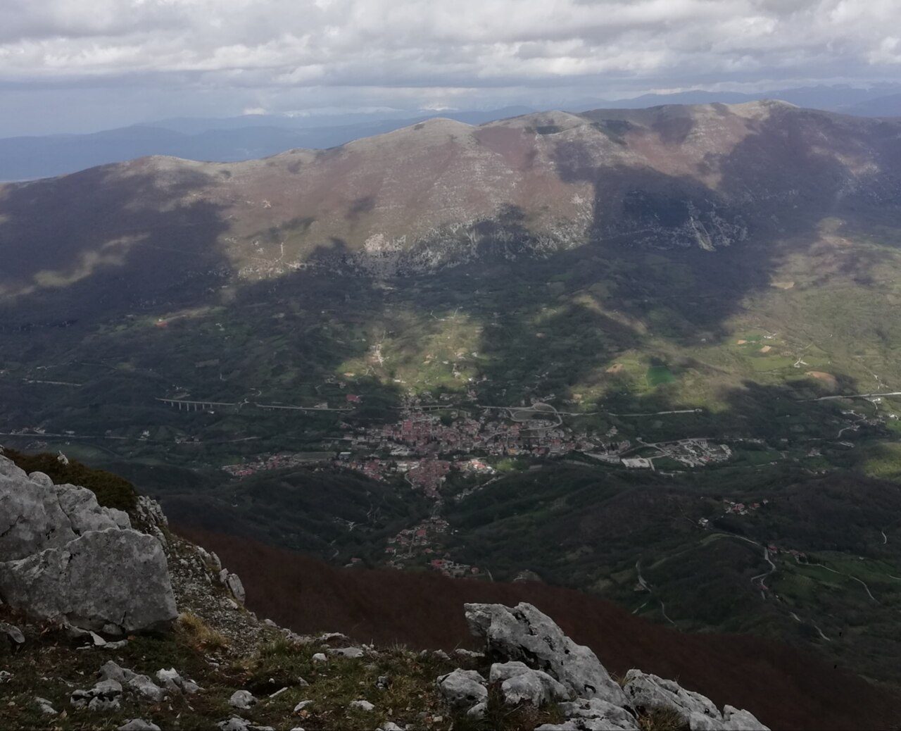
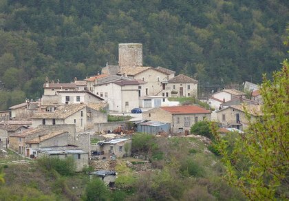
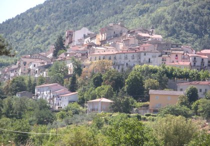
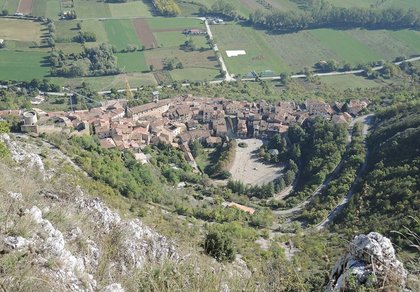
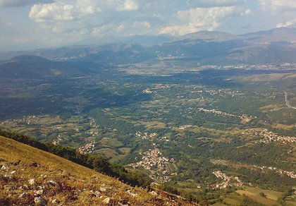
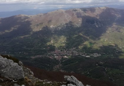
The Liri rises above Cappadocia, crosses the Nerfa valley at Castellafiume and, after Capistrello, enters the Valle Roveto: a narrow green valley about forty kilometres long, closed to the west by the Simbruini and Ernici mountains and to the east by the Serra Lunga, running down to Balsorano on the border with Lazio. It is the westernmost corner of Abruzzo, in the Marsica, close to Avezzano.
Almost every village in the valley was destroyed by the 1915 Marsica earthquake and rebuilt lower down, by the river: so next to each modern centre there is an old hilltop village, often with a castle or a medieval church, to reach on foot. The valley is a land of chestnut woods (the Roscetta chestnut), olive trees, mineral springs and hermitages carved into the rock; its natural gem is the Zompo lo Schioppo waterfall at Morino.
On this page you will find the eight municipalities, from north to south, with their hamlets, monuments, weather forecast and the list of restaurants, bars, hotels, B&Bs, campsites, shops and churches with phone and map.
Castellafiume 840 m · province of L’Aquila

The name comes from the Latin Castrum fluminis, the castle on the river: the village lies on the slopes of Monte Arezzo, on the north side of the Nerfa valley, crossed by the newborn Liri. The oldest part is the Fonte Vecchia quarter, with 19th-century houses; the ruins of the Orsini-Colonna castle still stand.
The churches of San Nicola di Bari and San Rocco, the grotto of the Madonna della Ravara at Ponte, the Emigrant monument. Under the Arunzo massif runs the Arunzo aqueduct, a Roman underground channel of the 1st century AD, built at the same time as the Claudian tunnels. Around it: the Valleverde pond, the Nava valley and the Piano della Renga on the Simbruini mountains. In May, the feasts of San Nicola and the Madonna del Rosario.
Just to the north is Cappadocia, with the springs of the Liri and the Camporotondo slopes.
Municipality of Castellafiume: 0863 54142 · www.comune.castellafiume.aq.it
🔎 Search all of Abruzzo · Data checked on Google Maps, Tripadvisor and the businesses’ websites.
Capistrello 734 m · province of L’Aquila
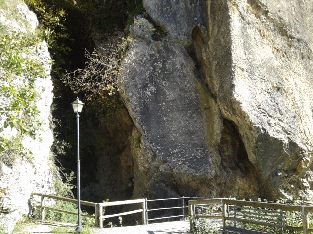
Capistrello lies where the Valle Roveto meets the Palentini plains and the Fucino plain. Here, under Monte Salviano, the Claudian tunnels come out: the outlet dug by the Romans in the 1st century to drain Lake Fucino into the Liri, a project taken up again in the 19th century by Prince Alessandro Torlonia, who opened the sluice gates in 1862 and completed the drainage in 1878.
The church of Sant’Antonio di Padova (mentioned in 1115, rebuilt after 1915), the Madonna della Contra, Santa Barbara and, at 1,220 metres on the ridge of Monte Arezzo, Santa Maria del Monte. Palazzo Lusi with its 14th-century turret, the ruins of the Torlonia hydroelectric works and the spiral tunnel of the Avezzano-Roccasecca railway, seven tunnels climbing 100 metres between Capistrello and Pescocanale. Sant’Antonio is celebrated on 13 June; in summer there is the strawberry festival on the Renga plateau.
Above the town, the Monte Salviano nature reserve stretches towards Avezzano. Local dishes: taccozzette and ranati, humble soups of pulses and grains.
Municipality of Capistrello: 0863 45841 · www.comune.capistrello.aq.it
🔎 Search all of Abruzzo · Data checked on Google Maps, Tripadvisor and the businesses’ websites.
Canistro 565 m · province of L’Aquila
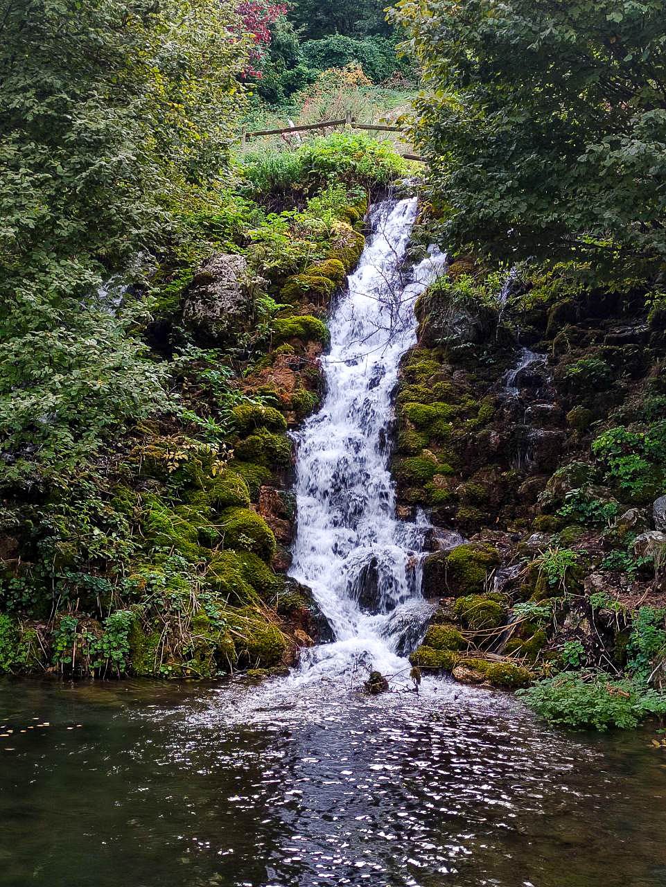
Canistro, on the slopes of the Simbruini, is known for Santa Croce mineral water, which springs from the Santa Croce and Sponga sources at about 800 metres, and for its wicker baskets, the canistri that gave the village its name. After 1915 the town hall moved down to Canistro Inferiore (Santa Croce); Canistro Superiore remains above.
Parco Sponga, at about 800 metres, with waterfalls and two ponds where the Rio Sparto flows down to the Liri; the Parco delle Cinque Fonti and the Via della Costa, the old mule track between the two villages. In Canistro Superiore, the church of San Giovanni Battista, San Sebastiano and the hermitage of the Madonna della Fonticella with a 15th-century fresco; in the lower village Palazzo Vecchiarelli, the 1888 fountain, the statues of the bear Amarena and her cubs and the monument to the victims of the Monongah mine. The old mill houses the Fluxo Museum of water and renewable energy.
Feasts: the Madonna della Fonticella on the first Sunday of July, San Giovanni in August, the chestnut festival in October.
Municipality of Canistro: 0863 97142 · www.comune.canistro.aq.it
🔎 Search all of Abruzzo · Data checked on Google Maps, Tripadvisor and the businesses’ websites.
Civitella Roveto 528 m · province of L’Aquila
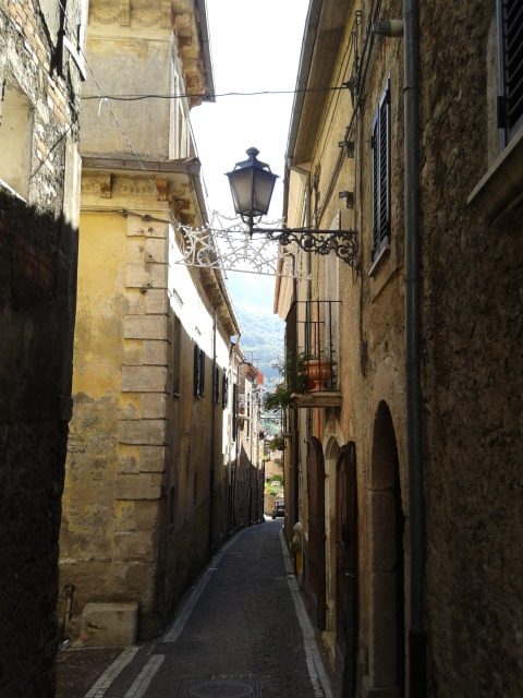
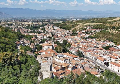
Civitella Roveto lies in the middle of the valley, below the Cantari mountains crowned by Monte Viglio (2,156 m). The old town is on the west bank of the Liri; across the river, below Monte Bello in Serra Lunga, stands the village built after 1915.
The church of San Giovanni Battista, documented from the 11th century and rebuilt in 1595, with its older bell tower and the bronze door by Pasquale Di Fabio; the Madonna delle Grazie and Santa Lucia. The Ferrazzilli, Villa and Libri palaces (16th–17th century), the Fonte d’Auta with five spouts and masks, the bust of Enrico Mattei by Francesco Messina and the Giuseppe Sinopoli theatre. On Monte Coppetello, at about 1,000 metres, the grotto of San Bartolomeo.
On 24 June, for San Giovanni, the faithful go down to the Liri at dawn for the ablution rite; in October the «Lungo le antiche Rue» festival fills the lanes with Roscetta chestnuts and valley produce.
Municipality of Civitella Roveto: 0863 979586 · www.comune.civitella-roveto.aq.it
🔎 Search all of Abruzzo · Data checked on Google Maps, Tripadvisor and the businesses’ websites.
Civita d’Antino 904 m · province of L’Aquila
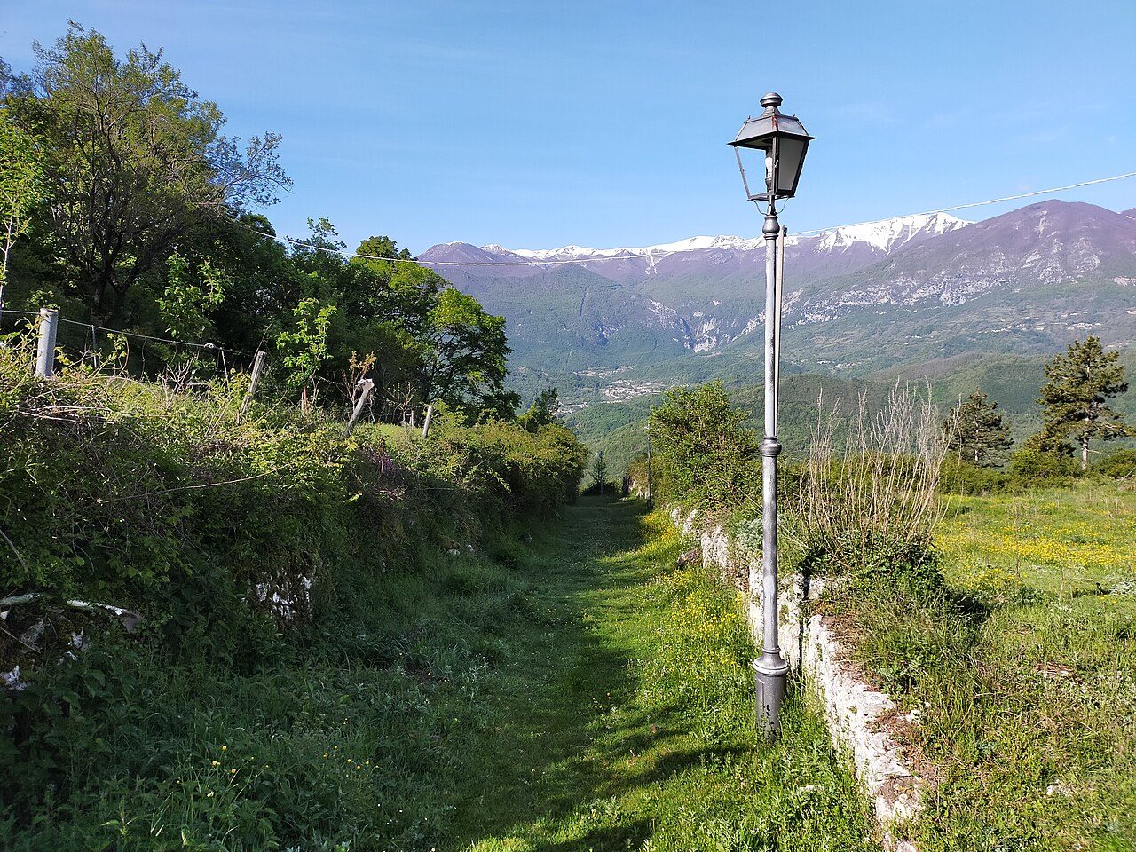
On Colle Castagno, at 904 metres, Civita d’Antino overlooks the whole upper Liri valley. Here stood Antinum, a town of the Marsi and later a Roman municipium. Between the 19th and 20th centuries the village hosted the summer school of Scandinavian painters founded by the Dane Kristian Zahrtmann: the light and stone houses of Civita ended up in dozens of paintings now in northern European museums.
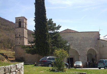
The church of Santo Stefano Protomartire, the old parish church of the valley, rebuilt several times and decorated by Pasquale Di Fabio; the Antinum Museum (2015) in the former church of Santa Maria, with inscriptions, coins and pottery from the valley. Halfway up the Serra Lunga, at about 1,200 metres, the hermitage of Santa Maria della Ritornata (12th century), destination of the procession on the second-to-last Sunday of August.
In August, the feasts of Santo Stefano and San Lidano; between October and November the barrel race, a team contest recalling the cellarmen who rolled barrels through the streets.
Municipality of Civita d’Antino: 0863 978122 · www.comune.civitadantino.aq.it
🔎 Search all of Abruzzo · Data checked on Google Maps, Tripadvisor and the businesses’ websites.
Morino 443 m · province of L’Aquila
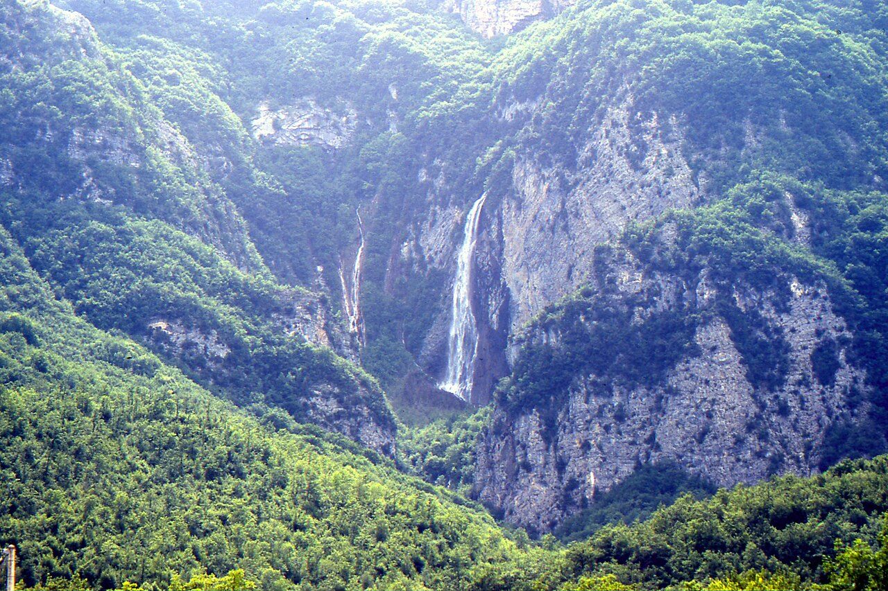
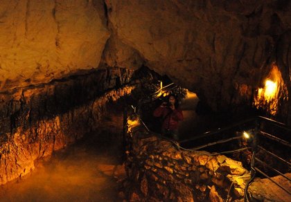
Morino, in the middle of the valley below the Ernici mountains, is home to the Zompo lo Schioppo nature reserve, set up in 1987 and run by the municipality with Legambiente: the waterfall drops more than 80 metres from a limestone wall, one of the highest in the Apennines, and is at its fullest in winter and spring. The reserve office and the ecomuseum with its visitor centre are in the hamlet of Grancia.
Above 1,100 metres, near the waterfall, the hermitage of Santa Maria del Cauto, a rock church documented from the 12th century, with the narrow Buco del Caùto gorge; the Morino pond; the ghost village of Morino Vecchio, destroyed in 1915, with the 13th–14th-century bell tower of Santa Maria Bambina. In the new village, the monument for the earthquake centenary.
For the waterfall, the trails and the picnic areas see our Zompo lo Schioppo page. Feasts: the charcoal kiln at Grancia in spring, the shepherds’ festival at Rendinara in summer, the Roscetta chestnut festival in October. Morino belongs to the Authentic Villages of Italy.
Municipality of Morino: 0863 978133 · www.comune.morino.aq.it
🔎 Search all of Abruzzo · Data checked on Google Maps, Tripadvisor and the businesses’ websites.
San Vincenzo Valle Roveto 388 m · province of L’Aquila
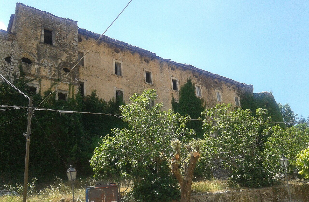
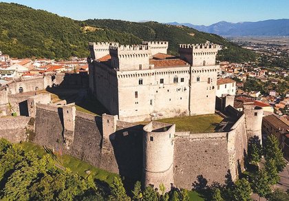
San Vincenzo moved down after 1915 along the Liri road; up the hill remain San Vincenzo Superiore, San Giovanni Vecchio and the village of Morrea, with its medieval gate and the Piccolomini castle, a late-15th-century Renaissance fortress with a rectangular plan and four round towers, later owned by the Colonna.
The church of Santa Restituta at Le Rosce, one of the oldest in the valley (mentioned in the 10th century), with a 9th–10th-century fresco of the saint restored in 1975; the Madonna del Romitorio hermitage at 625 metres, on the path to Morrea; the churches of San Michele Arcangelo and San Sebastiano in Morrea.
San Vincenzo is celebrated on 22 January; in November «Frantoi aperti» (open olive mills) offers tastings of oil from the local Alvia and Monicella varieties.
Municipality of San Vincenzo Valle Roveto: 0863 958114 · www.comune.sanvincenzovalleroveto.aq.it
🔎 Search all of Abruzzo · Data checked on Google Maps, Tripadvisor and the businesses’ websites.
Balsorano 340 m · province of L’Aquila
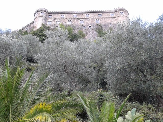
Balsorano closes the valley to the south, on the border with Lazio. The old village, on the slopes of Monte Cornacchia, was almost abandoned after 1915; on a rocky ridge towers the Piccolomini castle, built for Antonio Todeschini Piccolomini around 1460, with an almost pentagonal plan, several gates and a large park.
In Balsorano Vecchio the arch and the baroque fountain of San Martino and the church of San Rocco; in the new village the church of the Santissima Trinità (1939) in Piazza Scacchi and the shepherding museum in the railway station. In the mountains, places of worship in the rock: the grotto of Sant’Angelo at 917 metres on the Serra Lunga, the hermitages of Sant’Onofrio and San Giovanni Battista (San Janni), the convent of San Francesco.
San Giorgio, the patron saint, is celebrated on 23 April.
Municipality of Balsorano: 0863 950742 · www.comune.balsorano.aq.it
🔎 Search all of Abruzzo · Data checked on Google Maps, Tripadvisor and the businesses’ websites.
The valley is a land of chestnut woods: the Roscetta chestnut of the Valle Roveto is the star of the autumn festivals in Canistro, Civitella Roveto and Morino. On the lower slopes grow olive trees of the local Monicella and Alvia varieties, celebrated in San Vincenzo with «Frantoi aperti». In Capistrello kitchens, taccozzette and ranati, soups of pulses and grains, are still made.
More produce of the Marsica: truffles and Fucino potatoes and carrots. Abruzzo recipes are on our traditional cuisine page.
By car: leave the A25 Rome-Pescara motorway at Avezzano and take the SS690 Avezzano-Sora expressway, which runs the whole length of the valley with exits for Capistrello, Canistro, Civitella Roveto, Civita d’Antino-Morino, San Vincenzo and Balsorano. From Lazio, drive up from Sora. The old SS82 Liri Valley road passes through the villages on the valley floor; Castellafiume is reached from Capistrello.
By train: the Avezzano-Roccasecca railway has stations along the valley (including Capistrello, Canistro, Civitella Roveto, Civita d’Antino-Morino, Morrea-Castronovo-Rendinara, San Vincenzo and Balsorano); between Capistrello and Pescocanale it runs through the spiral tunnel.
Forecast: Abruzzo weather.
Opening times change during the year: call before you go.
Castellafiume, at 840 m, is best visited from June to September for hiking and trails and in autumn for the colours of the woods.
Capistrello, at 734 m, is best visited in spring and autumn for the mild weather and from June to September for hiking and trails.
Canistro, at 565 m, is best visited in spring and autumn for the mild weather and in October for the Roscetta chestnut festivals.
Civitella Roveto, at 528 m, is best visited in spring and autumn for the mild weather, in October for the Roscetta chestnut festivals and all year round for the historic centre.
Civita d’Antino, at 904 m, is best visited all year round for the historic centre, from June to September for hiking and trails and in autumn for the colours of the woods. From 15 November to 15 April winter tyres or snow chains on board are required.
Morino, at 443 m, is best visited in winter and spring for the waterfall at its fullest, from June to September for hiking and trails and in October for the Roscetta chestnut festivals.
San Vincenzo Valle Roveto, at 388 m, is best visited in spring and autumn for the mild weather and all year round for the historic centre.
Balsorano, at 340 m, is best visited all year round for the historic centre and in spring and autumn for the mild weather.
From north to south: Castellafiume (Nerfa valley), Capistrello, Canistro, Civitella Roveto, Civita d’Antino, Morino, San Vincenzo Valle Roveto and Balsorano. Each has its own section with hamlets, forecast and businesses.
In Morino and its hamlet Grancia there are a campsite, B&Bs and restaurants a few minutes from the waterfall: see the box in the Morino section. More places in Civitella Roveto and San Vincenzo, about ten kilometres away.
In the «Where to eat, sleep and what to find» box in each village’s section: restaurants, hotels, B&Bs, bars, local produce shops, churches, monuments, huts and tourist offices, with a Google Maps link. All villages are also in the search by category.

Rocca di Mezzo, Rocca di Cambio, Rovere, Terranera, Ovindoli

The Medieval Villages of the Gran Sasso, with their castles, towers, and ancient settlements that once dominated Abruzzo

The village of Cappadocia, in the western part of the Aquilan Abruzzo

The village of Casamaina, a favourite among skiers heading to Campo Felice or Ovindoli

The village of Castel del Monte, the highest settlement in the Gran Sasso area

The village of Civitella Alfedena, in the Abruzzo, Lazio and Molise National Park

Mountaineering on the Gran Sasso, the ideal place for freeride lovers seeking demanding routes

The city of L'Aquila, with its restored Renaissance palaces, a place rich in culture

The 2012 snowfall in L'Aquila brought over one metre of snow in 24 hours — unbelievable images

The village of Pescasseroli, heart of the Abruzzo, Lazio and Molise National Park

The village of Pietracamela, on the north-eastern side of the Gran Sasso, at the foot of Corno Piccolo — a magical and unexpected place

Prati di Tivo, a winter ski resort offering breathtaking views to all who visit

San Domenico and the Serpari ritual, held every first Thursday of May

The 2012 snowfall in Scoppito reached nearly two metres in height

The village of Opi, a splendid settlement in the Abruzzo, Lazio and Molise National Park





Punta Aderci, with the Abruzzese trabocchi stretching from Vasto through Fossacesia to San Vito Chietino


Lake Campotosto, nestled between the Gran Sasso and Monti della Laga ranges, within the national park of the same name

The Capodacqua reservoir, with submerged mills and crystal-clear waters, a paradise for divers

The swimming lake of Scanno, named after the village overlooking it — a place worth visiting

Lake Sinizzo, just a few kilometres from San Demetrio, is the ideal place for nature lovers seeking fresh, clear waters

Lake San Domenico, named after the nearby hermitage; its crystal-clear waters make it unique. Swimming not allowed

The Fountain of the 99 Spouts, a symbol of the city of L'Aquila

The Basilica of Santa Maria di Collemaggio, resting place of Pope Celestine V

The Sanctuary of Madonna d'Appari, set among the rocks along the road between Paganica and Assergi

The Church of San Panfilo, in the municipality of Tornimparte, with its frescoes — a place worth visiting

The Stiffe Caves, inside the Velino-Sirente Regional Park — a magical place to explore
The most popular ski resorts, the updated snow report and useful information on how to find lifts or book accommodation for your winter holiday
Vai
View the webcams in Abruzzo and check real‑time weather conditions. Some webcams belong to www.abruzzoparchi.it, others are located throughout the region
Vai
Weather forecasts for the coming days in Abruzzo. Live weather via our webcams and temperatures recorded in several mountain areas
Vai
Maps for trekking, mountain biking, ski touring, running and horse riding. You can also download the GPX track of each route
Vai
Walks, diving, climbing, mountain biking, horse riding — all outdoor activities available in Abruzzo
Vai
Choose between sea or mountains, summer or winter, a sporty holiday or a relaxing one — Abruzzo has it all
Vai
Abruzzo is famous for its cuisine, both mountain and coastal, with traditions that vary from area to area
Vai
Abruzzo’s villages are famous for their fortresses, mountains and the traditional trabocchi along the southern coast
Vai
One of Italy’s most famous and oldest national parks
Vai
One of Italy’s wildest parks, with typical Apennine landscapes and Dolomite‑like peaks
Vai
Located in the heart of the Apennines, home to the beautiful villages of the Rocche Plateau
Vai
One of the snowiest places in Italy, a unique mountain massif rising close to the sea
Vai