
Skiing in Abruzzo – snow report
The most popular ski resorts, the updated snow report and useful information on how to find lifts or book accommodation for your winter holiday


The mountains of sandstone and waterfalls, between the Gran Sasso, the Marche and Lazio: beech, chestnut and silver fir woods, scattered villages, medieval churches and the upper Vomano valley.
The most popular ski resorts, the updated snow report and useful information on how to find lifts or book accommodation for your winter holiday
View the webcams in Abruzzo and check real‑time weather conditions. Some webcams belong to www.abruzzoparchi.it, others are located throughout the region

Weather forecasts for the coming days in Abruzzo. Live weather via our webcams and temperatures recorded in several mountain areas
Maps for trekking, mountain biking, ski touring, running and horse riding. You can also download the GPX track of each route
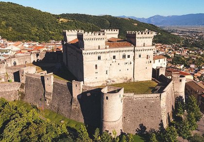
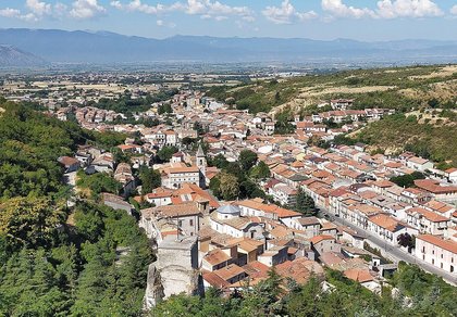
Abruzzo’s villages are famous for their fortresses, mountains and the traditional trabocchi along the southern coast
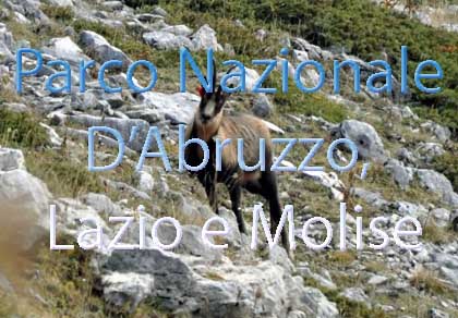
One of Italy’s most famous and oldest national parks
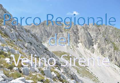
Located in the heart of the Apennines, home to the beautiful villages of the Rocche Plateau
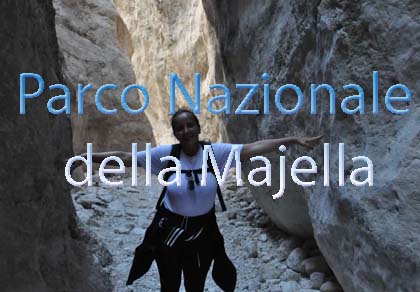
One of the snowiest places in Italy, a unique mountain massif rising close to the sea
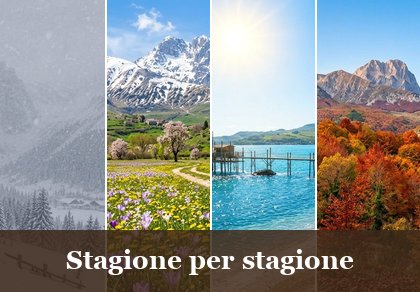
Choose between sea or mountains, summer or winter, a sporty holiday or a relaxing one — Abruzzo has it all

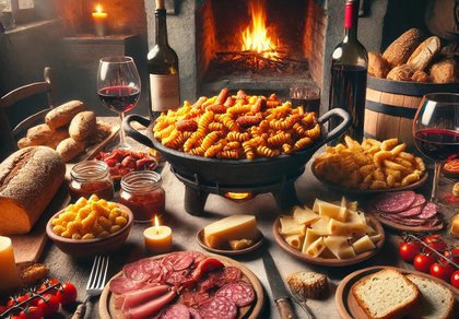
Abruzzo is famous for its cuisine, both mountain and coastal, with traditions that vary from area to area
Walks, diving, climbing, mountain biking, horse riding — all outdoor activities available in Abruzzo
From Valle Castellana to Fano Adriano, six municipalities and their hamlets: history, monuments, nature and every business with phone and map.
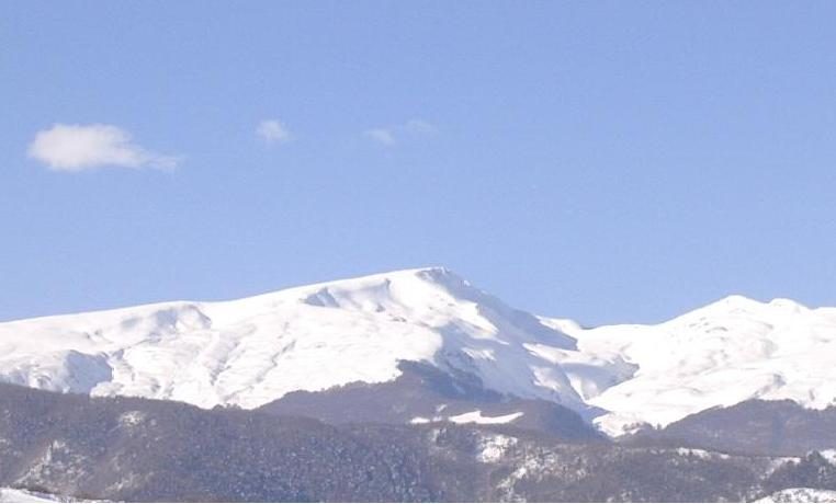
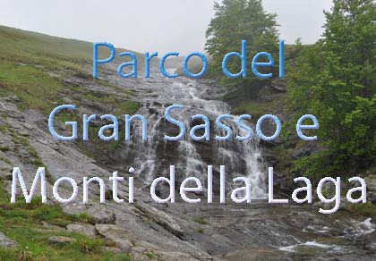
West of Teramo the hills give way to the Monti della Laga, the sandstone range that reaches 2458 metres at Monte Gorzano and borders the Marche and Lazio. Unlike the limestone of the Gran Sasso, sandstone does not soak up water: that is why the Laga is the range of streams and waterfalls (the Morricana, the Cavata, the Volpara, the Cento Fonti), of beech, chestnut and rare silver fir woods. Further south the Vomano valley separates the Laga from the Gran Sasso: along the old SS80 road, the ancient Via Cecilia, lie Crognaleto and Fano Adriano.
All six municipalities are in or on the edge of the Gran Sasso and Monti della Laga National Park. They are «scattered» municipalities: the name often does not match the main village and the town hall stands in a hamlet (Imposte, Pagliaroli, Nerito). This is the land of famous brigands like Marco Sciarra, of the partisan battle of Bosco Martese (1943) and of the stonemasons who carve the local sandstone.
On this page you will find the six municipalities, from north to south, with their hamlets, monuments, weather forecast and a list of restaurants, bars, hotels, B&Bs, farm stays, campsites, mountain huts, shops and churches with phone and map. The local climate is explained on the page about the climate of the Gran Sasso and the Laga.
Valle Castellana 625 m · province of Teramo
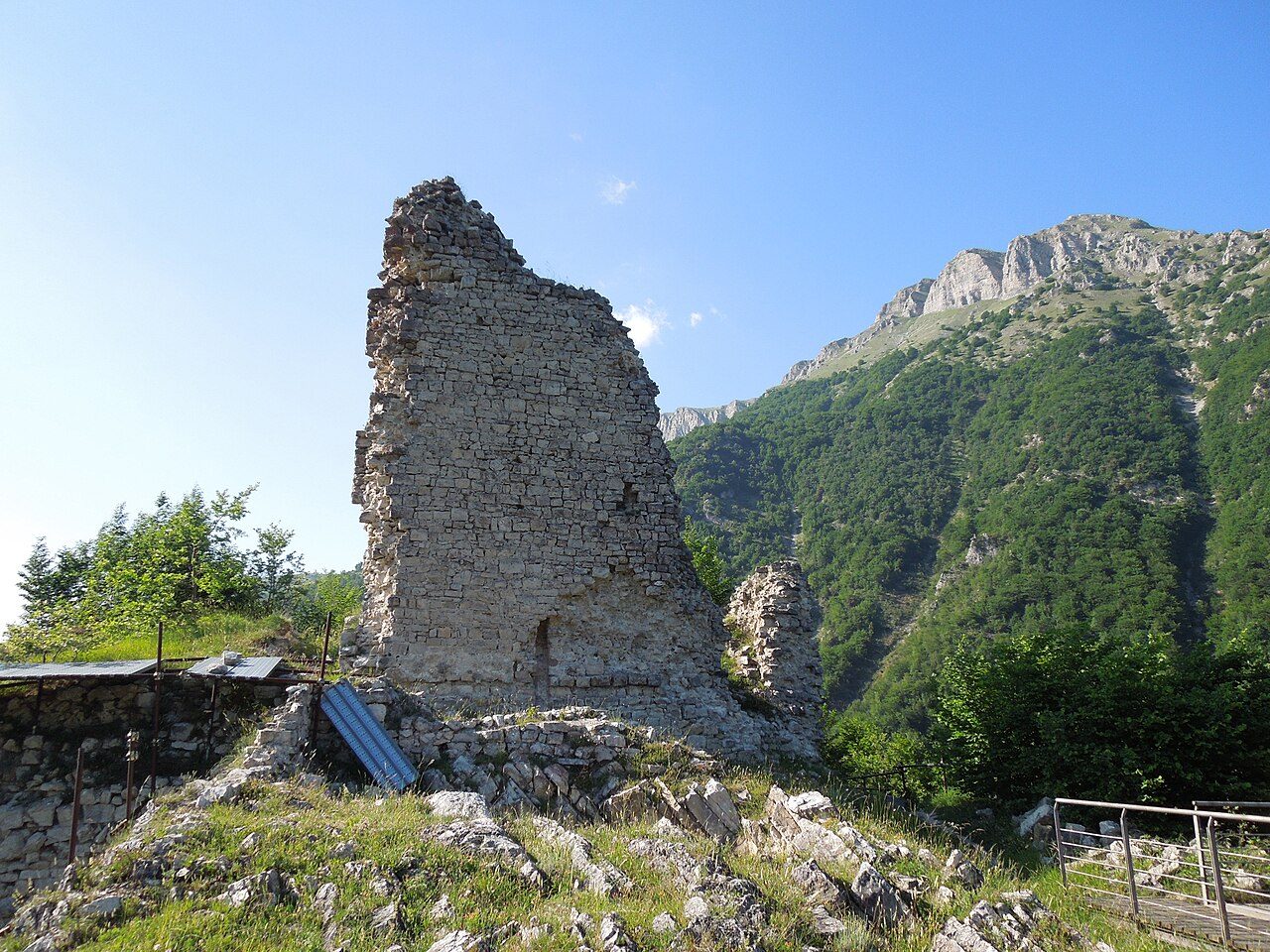
Valle Castellana is the northernmost municipality of the area, in the valley of the Castellano stream between the Laga and the Montagna dei Fiori: it borders Ascoli Piceno and Acquasanta Terme (Marche) and Accumoli and Amatrice (Lazio), one of only two Abruzzo municipalities touching two regions. The name dates from 1285, when the villages of Ceresia, Sorbo, Stornazzano and Rosaio jointly asked for citizenship of Ascoli in front of the church of the Annunziata. For centuries it was the last village of the Kingdom of Naples before the Papal States, a frontier land of brigands.
The ruins of Castel Manfrino above Macchia da Sole, a 12th–13th-century fortress that, with Civitella del Tronto, guarded the roads between Ascoli and Teramo and that tradition links to King Manfred of Swabia; the neo-Gothic Bonifaci castle of Vallenquina (1856); the parish church of the Santissima Annunziata di Stornazzano (11th century, remodelled in the 15th); the Romanesque churches of San Vito and Santa Rufina (12th century). The chestnut, beech and silver fir woods produce porcini and marroni chestnuts; on the border with Rocca Santa Maria, near Ceppo, falls the Morricana waterfall.
Municipality of Valle Castellana: 0861 93130 · www.comune.vallecastellana.te.it
🔎 Search all of Abruzzo · Data checked on Google Maps, Tripadvisor and the businesses’ websites.
Rocca Santa Maria 1073 m · province of Teramo
Rocca Santa Maria is a scattered municipality of small mountain hamlets; the town hall is in Imposte. The name comes from a vanished tower near Riano; it first appears in an Angevin document of 1273. The Vezzola river rises here, and this was the home of the brigand Marco Sciarra, who even kidnapped the poet Torquato Tasso. On 25 September 1943, in Bosco Martese at Ceppo, Italian soldiers, anti-fascists from Teramo and escaped prisoners from the Tossicia camp drove back a German unit: the battle of Bosco Martese, one of the first episodes of the Italian Resistance.
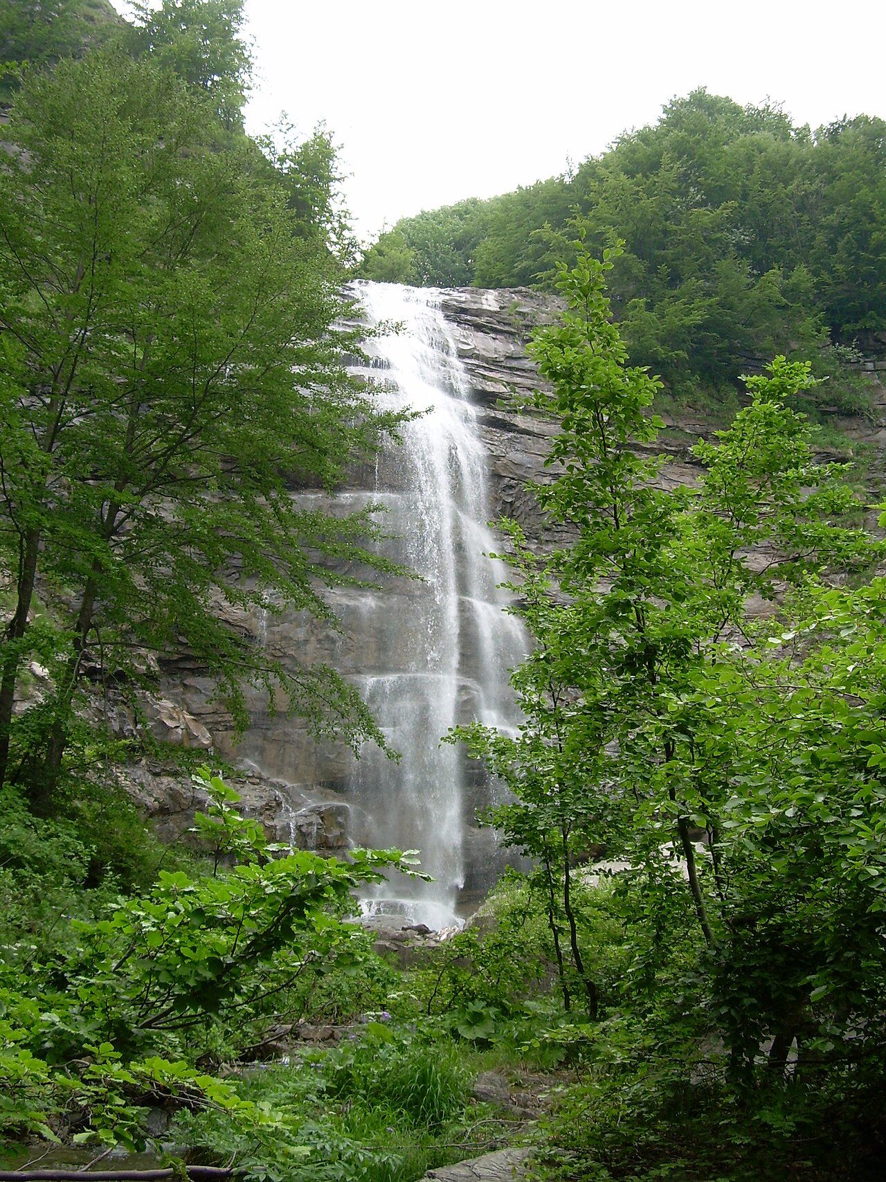
Ceppo, high up in the beech forest, with its campsite, huts and trails to the Morricana waterfall and the Cavata waterfall, and the Jacci di Verre gorge. Among the hamlet churches: San Martino in Fioli (14th century, carved Baroque altar), Sant’Egidio in Arquatola (14th century), Santa Maria Assunta in Alvelli (15th century), and San Lorenzo in Cesa, recorded as early as 1178.
Municipality of Rocca Santa Maria: 0861 63122 · www.roccasm.it
🔎 Search all of Abruzzo · Data checked on Google Maps, Tripadvisor and the businesses’ websites.
Torricella Sicura 437 m · province of Teramo
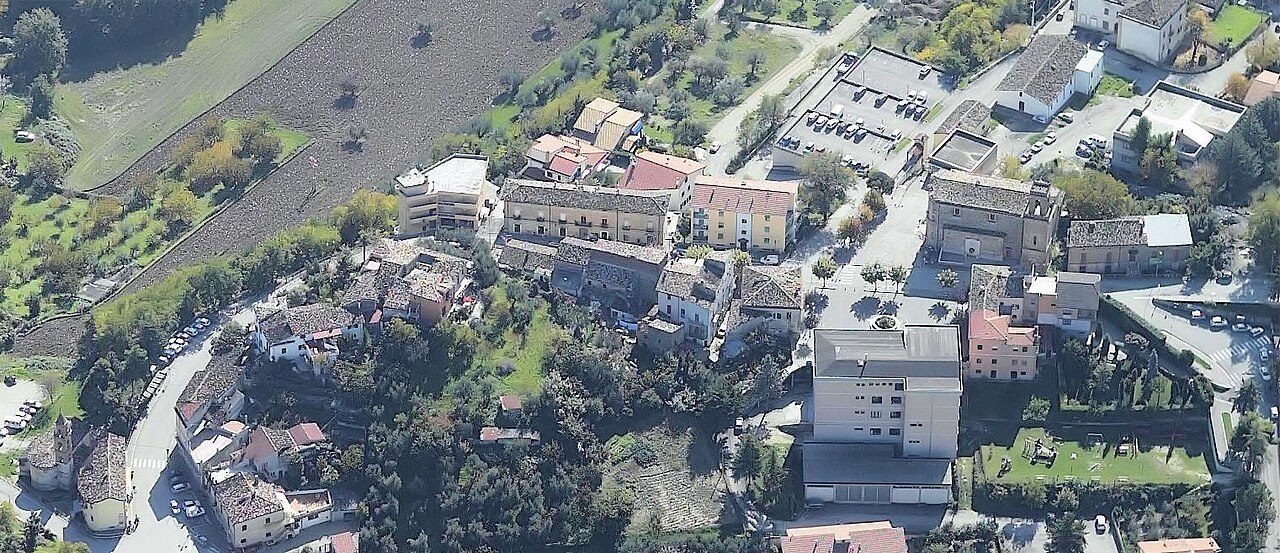
Torricella Sicura, on the hills between Teramo and the Laga, is the seat of the union of Laga mountain municipalities. The name comes from an old castle on the hill locals call «lu castille»; «Sicura» was one of the five districts of the village and became official in 1863. Remains of a temple, Roman tombs and an altar dedicated to the «unknown god» have been found in the area.
The parish church of San Paolo Apostolo (completed in 1806), with its Baroque façade with concave wings and an altarpiece of 1627 by Sebastian Majewski; the church of the Madonna delle Vergini or della Cona (1635), with chapels cut into the tuff; the «Genti della Laga» ethnographic museum. In September the minestrone alla torricellese festival; for Corpus Domini the flower carpets. From the village the provincial road climbs via Santo Stefano towards Ceppo and the Fratta Montanara hut.
Municipality of Torricella Sicura: 0861 554727 · www.comune.torricellasicura.te.it
🔎 Search all of Abruzzo · Data checked on Google Maps, Tripadvisor and the businesses’ websites.
Cortino 892 m · province of Teramo
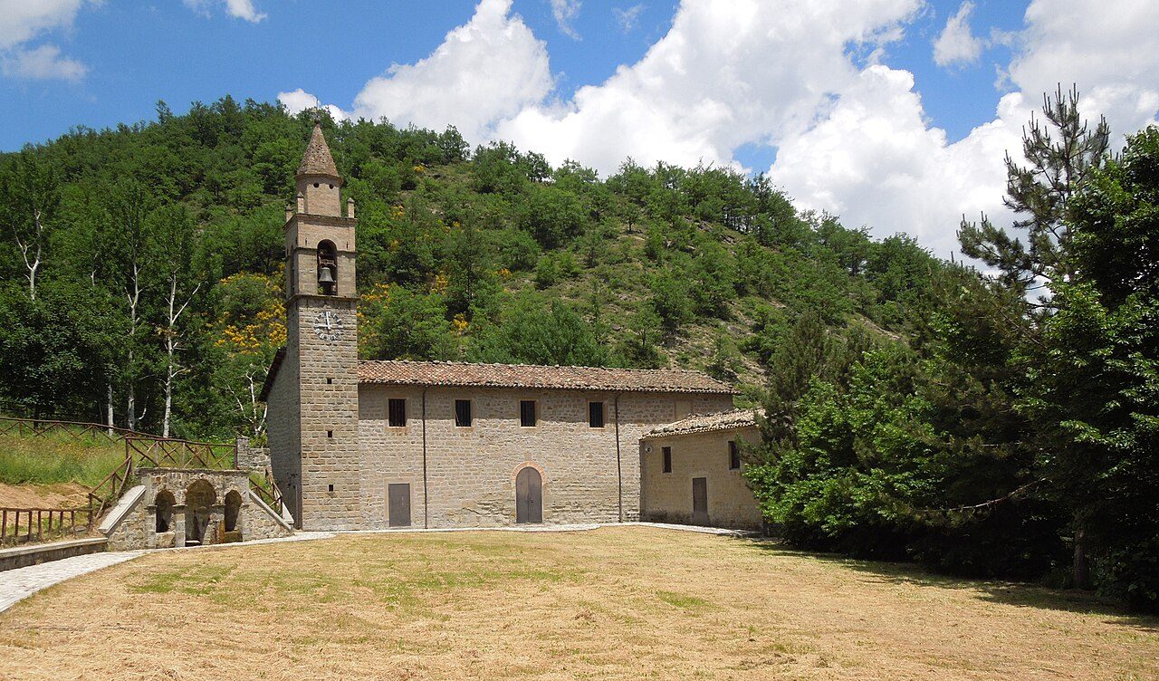
Cortino is a municipality of scattered hamlets around Monte Bilanciere; the town hall is in Pagliaroli. The village of Cortino lies at the foot of one of the rare pure silver fir woods of the Apennines, one of the most protected habitats of the Laga, where wild orchids and the orange lily bloom in spring. It is first recorded («Corte») in 1029; from the 15th century it belonged to the «Montagna di Roseto» with Crognaleto, under the Acquaviva dukes of Atri. The municipality was created in the Napoleonic period.
The sanctuary of Santa Maria Assunta in Padula, known as Madonna dei Monti della Laga (15th century), with a stone cloister, a monumental Baroque altar and a ceiling with the Acquaviva coats of arms; the parish church of the Beata Vergine Assunta in Cortino (recorded in 1324); San Michele Arcangelo in Lame. At Casanova the mill and the Riccio waterfall, with a picnic area by the stream.
Municipality of Cortino: 0861 64112 · www.comune.cortino.te.it
🔎 Search all of Abruzzo · Data checked on Google Maps, Tripadvisor and the businesses’ websites.
Crognaleto 835 m · province of Teramo
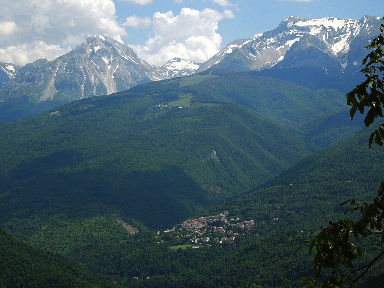
Crognaleto takes its name from crognale, the cornelian cherry. It is a scattered municipality of almost twenty hamlets on both sides of the upper Vomano valley; the town hall is in Nerito, where the Christmas Fire is kept burning from Christmas Eve to Epiphany and «the Heir» is celebrated on Fat Thursday. The village of Crognaleto stands high up among chestnut trees. The ancient Via Cecilia ran along the valley; the municipality was created in 1813 from the division of the «Montagna di Roseto».
The sanctuary of the Madonna della Tibia (1617), an ex-voto of a traveller from Amatrice who fell into a ravine; from Cesacastina the trail to the Cento Fonti and the Volpara waterfall; Piano Roseto, a high karst plateau; Senarica and Poggio Umbricchio on rocky spurs above the gorge; Tottea and Frattoli, villages of sandstone and stonemasons. Try the ventricina, spread on bread here.
Municipality of Crognaleto: 0861 950110 · www.comune.crognaleto.te.it
🔎 Search all of Abruzzo · Data checked on Google Maps, Tripadvisor and the businesses’ websites.
Fano Adriano 745 m · province of Teramo
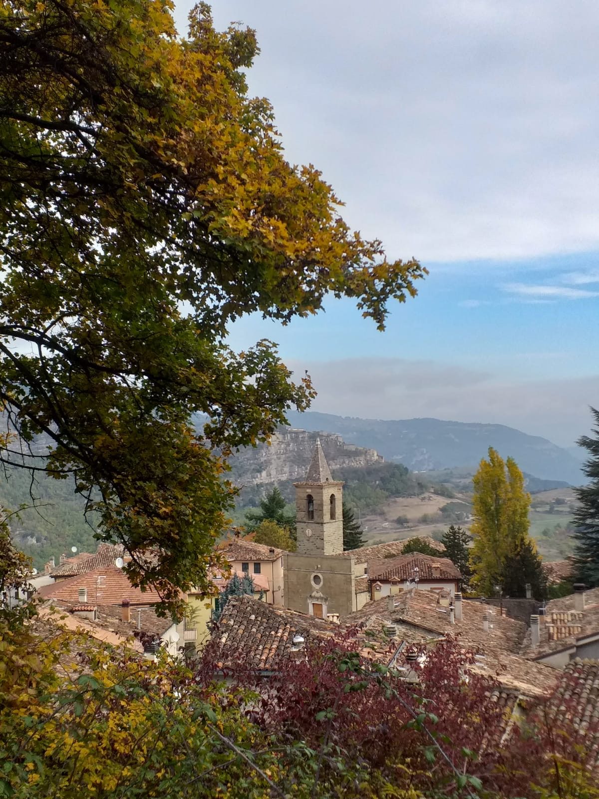
Fano Adriano stands on the San Marcello hill, on the northern slopes of the Gran Sasso, between the Vomano and the Rio Arno; its territory ranges from 330 metres at Lake Piaganini to 2623 metres at Monte Corvo. The name comes from the Latin fanum, temple: tradition says one stood on the hilltop, where the hermitage of the Annunziata is today. The village motto is the «seven Fs», read by locals as «Fanesi Furono Forti, Fatevi Forti, Figli Fanesi».
The parish church of Santi Pietro e Paolo, with a 16th-century façade, a bell tower of 1550, Castelli majolica in the lunette, carved and gilded Baroque altars and an 18th-century organ; the hermitage of the Annunziata with views of the Gran Sasso, Pizzo Intermesoli and Monte Corvo; San Rocco in Villa Moreni; in Cerqueto the church of Sant’Egidio with 16th-century frescoes. From Ponte Rio Arno the road climbs to Pietracamela and Prati di Tivo.
Municipality of Fano Adriano: 0861 95124 · www.comune.fanoadriano.te.it
🔎 Search all of Abruzzo · Data checked on Google Maps, Tripadvisor and the businesses’ websites.
The Laga woods give marroni and chestnuts (Valle Castellana and Crognaleto) and porcini mushrooms; the pastures give sheep’s cheeses and meat. Crognaleto’s speciality is ventricina teramana, a soft spreadable sausage. Torricella Sicura celebrates its minestrone in September; among Teramo’s cured meats there is also liver sausage.
Abruzzo recipes are on our typical cuisine page.
From Teramo the provincial road to Torricella Sicura climbs to Santo Stefano and Ceppo (Rocca Santa Maria); Valle Castellana is reached from Teramo via Campli or from Ascoli Piceno. Cortino is reached from Teramo or from Montorio al Vomano.
Crognaleto and Fano Adriano lie on the SS80 Gran Sasso d’Italia road, the old Teramo-L’Aquila road that follows the Vomano; leave the A24 motorway at Colledara-San Gabriele and drive up the valley; from the L’Aquila side the road crosses the Capannelle pass.
In winter, snow chains or winter tyres are required on the high roads. Forecast: Abruzzo weather.
In the mountains, huts, restaurants and roads change their hours with the seasons: call before you go.
Valle Castellana, at 625 m, is best visited in October for marroni chestnuts and woodland mushrooms, from June to September for hiking and trails and all year round for the historic centre.
Rocca Santa Maria, at 1.073 m, is best visited in May and June for the Laga waterfalls, swollen with snowmelt, from June to September for hiking and trails and in autumn for the colours of the woods. From 15 November to 15 April winter tyres or snow chains on board are required.
Torricella Sicura, at 437 m, is best visited in spring and autumn for the mild weather and all year round for the historic centre.
Cortino, at 892 m, is best visited from June to September for hiking and trails and in autumn for the colours of the woods.
Crognaleto, at 835 m, is best visited in May and June for the Laga waterfalls, swollen with snowmelt, from June to September for hiking and trails and in October for marroni chestnuts and woodland mushrooms.
Fano Adriano, at 745 m, is best visited from June to September for hiking and trails, in autumn for the colours of the woods and all year round for the historic centre.
From north to south: Valle Castellana, Rocca Santa Maria, Torricella Sicura, Cortino, Crognaleto and Fano Adriano. Each has its own section with hamlets, sights, forecast and businesses.
At Ceppo, in the municipality of Rocca Santa Maria, there are a campsite and mountain huts; more places lie along the road up from Torricella Sicura. See the boxes in the Rocca Santa Maria and Torricella Sicura sections.
In the «Where to eat, sleep and what to find» box in each village’s section: restaurants, hotels, B&Bs, bars, local produce shops, churches, monuments, huts and tourist offices, with a Google Maps link. All villages are also in the search by category.

Rocca di Mezzo, Rocca di Cambio, Rovere, Terranera, Ovindoli

The Medieval Villages of the Gran Sasso, with their castles, towers, and ancient settlements that once dominated Abruzzo

The village of Cappadocia, in the western part of the Aquilan Abruzzo

The village of Casamaina, a favourite among skiers heading to Campo Felice or Ovindoli

The village of Castel del Monte, the highest settlement in the Gran Sasso area

The village of Civitella Alfedena, in the Abruzzo, Lazio and Molise National Park

Mountaineering on the Gran Sasso, the ideal place for freeride lovers seeking demanding routes

The city of L'Aquila, with its restored Renaissance palaces, a place rich in culture

The 2012 snowfall in L'Aquila brought over one metre of snow in 24 hours — unbelievable images

The village of Pescasseroli, heart of the Abruzzo, Lazio and Molise National Park

The village of Pietracamela, on the north-eastern side of the Gran Sasso, at the foot of Corno Piccolo — a magical and unexpected place

Prati di Tivo, a winter ski resort offering breathtaking views to all who visit

San Domenico and the Serpari ritual, held every first Thursday of May

The 2012 snowfall in Scoppito reached nearly two metres in height

The village of Opi, a splendid settlement in the Abruzzo, Lazio and Molise National Park



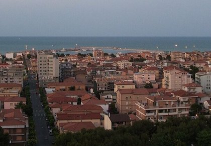
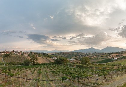
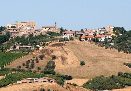


Punta Aderci, with the Abruzzese trabocchi stretching from Vasto through Fossacesia to San Vito Chietino


Lake Campotosto, nestled between the Gran Sasso and Monti della Laga ranges, within the national park of the same name

The Capodacqua reservoir, with submerged mills and crystal-clear waters, a paradise for divers

The swimming lake of Scanno, named after the village overlooking it — a place worth visiting

Lake Sinizzo, just a few kilometres from San Demetrio, is the ideal place for nature lovers seeking fresh, clear waters

Lake San Domenico, named after the nearby hermitage; its crystal-clear waters make it unique. Swimming not allowed

The Fountain of the 99 Spouts, a symbol of the city of L'Aquila

The Basilica of Santa Maria di Collemaggio, resting place of Pope Celestine V

The Sanctuary of Madonna d'Appari, set among the rocks along the road between Paganica and Assergi

The Church of San Panfilo, in the municipality of Tornimparte, with its frescoes — a place worth visiting

The Stiffe Caves, inside the Velino-Sirente Regional Park — a magical place to explore
The most popular ski resorts, the updated snow report and useful information on how to find lifts or book accommodation for your winter holiday
Vai
View the webcams in Abruzzo and check real‑time weather conditions. Some webcams belong to www.abruzzoparchi.it, others are located throughout the region
Vai
Weather forecasts for the coming days in Abruzzo. Live weather via our webcams and temperatures recorded in several mountain areas
Vai
Maps for trekking, mountain biking, ski touring, running and horse riding. You can also download the GPX track of each route
Vai
Walks, diving, climbing, mountain biking, horse riding — all outdoor activities available in Abruzzo
Vai
Choose between sea or mountains, summer or winter, a sporty holiday or a relaxing one — Abruzzo has it all
Vai
Abruzzo is famous for its cuisine, both mountain and coastal, with traditions that vary from area to area
Vai
Abruzzo’s villages are famous for their fortresses, mountains and the traditional trabocchi along the southern coast
Vai
One of Italy’s most famous and oldest national parks
Vai
One of Italy’s wildest parks, with typical Apennine landscapes and Dolomite‑like peaks
Vai
Located in the heart of the Apennines, home to the beautiful villages of the Rocche Plateau
Vai
One of the snowiest places in Italy, a unique mountain massif rising close to the sea
Vai