
Skiing in Abruzzo – snow report
The most popular ski resorts, the updated snow report and useful information on how to find lifts or book accommodation for your winter holiday


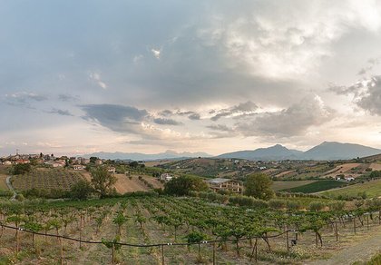
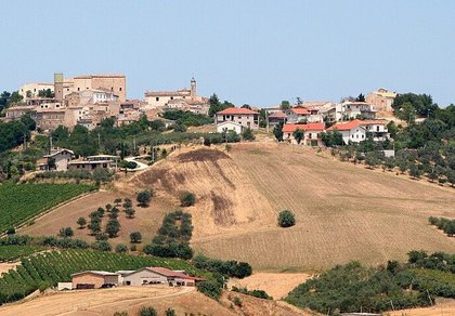
Hills of vineyards and olive groves between the Tronto and the Salinello, a few kilometres from the sea: border villages between the Kingdom of Naples and the Papal State, Romanesque churches and the Neolithic village of Ripoli.
The most popular ski resorts, the updated snow report and useful information on how to find lifts or book accommodation for your winter holiday

View the webcams in Abruzzo and check real‑time weather conditions. Some webcams belong to www.abruzzoparchi.it, others are located throughout the region

Weather forecasts for the coming days in Abruzzo. Live weather via our webcams and temperatures recorded in several mountain areas
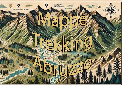
Maps for trekking, mountain biking, ski touring, running and horse riding. You can also download the GPX track of each route
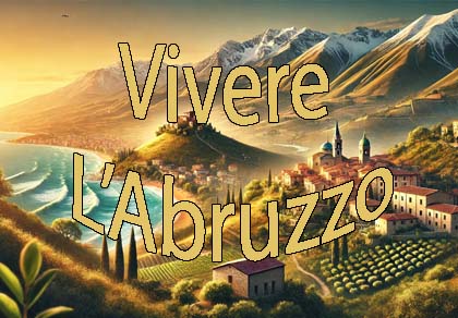
Abruzzo’s villages are famous for their fortresses, mountains and the traditional trabocchi along the southern coast
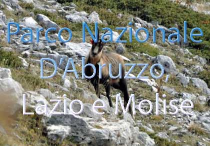
One of Italy’s most famous and oldest national parks
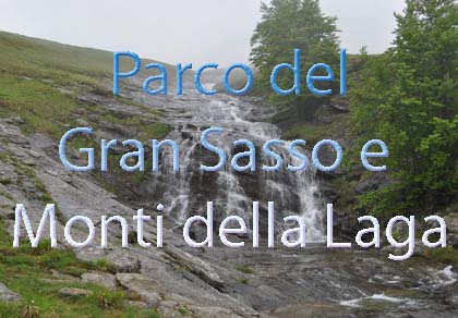
Located in the heart of the Apennines, home to the beautiful villages of the Rocche Plateau
One of the snowiest places in Italy, a unique mountain massif rising close to the sea

Choose between sea or mountains, summer or winter, a sporty holiday or a relaxing one — Abruzzo has it all

Abruzzo is famous for its cuisine, both mountain and coastal, with traditions that vary from area to area
Walks, diving, climbing, mountain biking, horse riding — all outdoor activities available in Abruzzo
From Sant’Egidio alla Vibrata to Sant’Omero, six municipalities and their hamlets: history, monuments, wines and every business with phone and map.
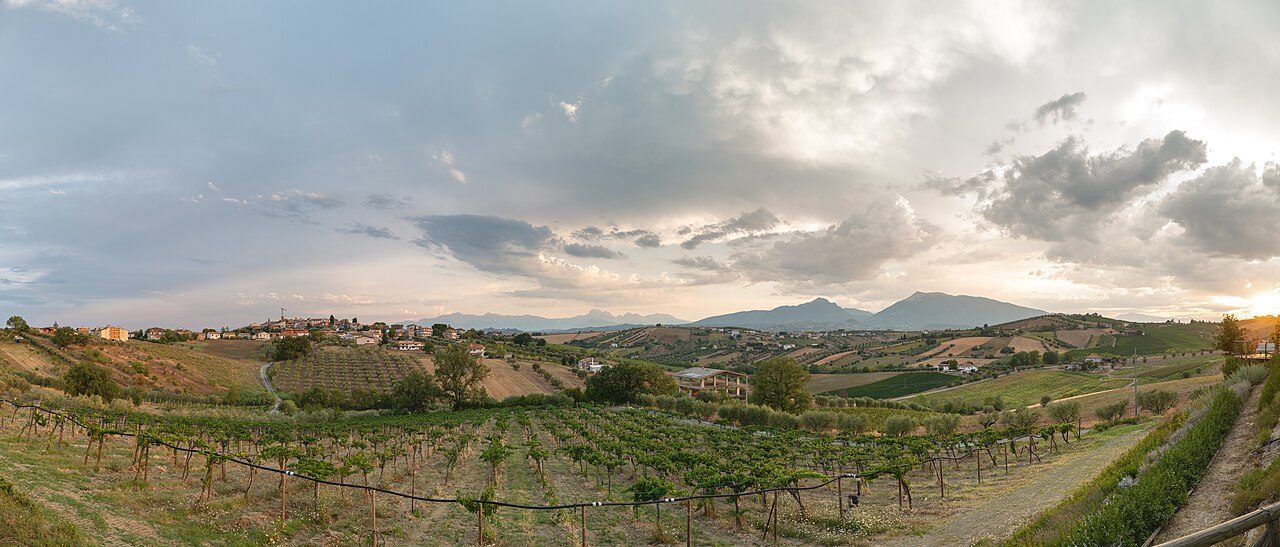
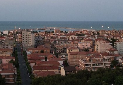
The Val Vibrata is the northernmost corner of Abruzzo: the valley of the Vibrata stream, between the Tronto (the border with the Marche) and the Salinello, running down from the hills to the sea at Alba Adriatica and Martinsicuro. From the Middle Ages to the unification of Italy it was the northern frontier of the Kingdom of Naples, disputed with the Papal State: Nereto and Ancarano depended on Ascoli Piceno for centuries, while Corropoli and Sant’Omero were fiefs of the Acquaviva of Atri.
Today it is a land of hills planted with vines and olives, small villages on the hilltops and newer towns that grew on the plain with the post-war industrial district. The hills are the area of the Colline Teramane DOCG and the Controguerra DOC; among the fields you can still see the earth houses (the «pinciare»), along the Via delle Pinciare route.
On this page you will find six municipalities of the valley, with hamlets, monuments, weather forecasts and a list of restaurants, pizzerias, bars, hotels, B&Bs, farm stays, wineries, shops and churches with phone and map. The other villages of the Val Vibrata have their own page: Civitella del Tronto with its fortress, Controguerra, Colonnella and the towns on the coast.
Sant’Egidio alla Vibrata 239 m · province of Teramo
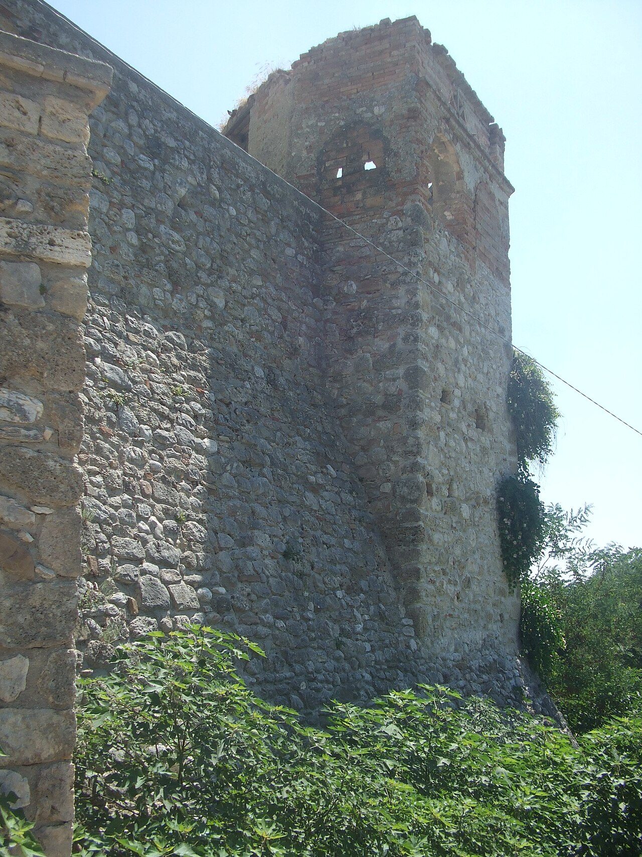
Sant’Egidio alla Vibrata is the most populous municipality of the area, on the border with the Marche (Ascoli Piceno, Maltignano, Folignano). The town grew around a convent dedicated to the saint, probably founded by people from the Lombard settlement of Faraone; together with Civitella del Tronto it held the privilege of «royal town», free from feudal taxes until 1642. In 1863 the municipality of Faraone was merged into it and it took its present name. In the second half of the 20th century it became one of the centres of the Val Vibrata clothing district.
The church of Sant’Egidio Abate, founded as a priory of the Benedictine abbey of Montesanto: Romanesque, with three naves, from the first half of the 12th century, altered after 1304, with a Renaissance façade of 1524 and a bell tower of 1555. The village of Faraone, fortified in the early Middle Ages and abandoned after the 1950 earthquake, with its walls, gate and the church of Santa Maria della Misericordia. The Sant’Egidio Carnival with its allegorical floats; the Val Vibrata karting track.
Municipality of Sant’Egidio alla Vibrata: 0861 846511 · www.comune.santegidioallavibrata.te.it
🔎 Search all of Abruzzo · Data checked on Google Maps, Tripadvisor and the businesses’ websites.
Ancarano 294 m · province of Teramo
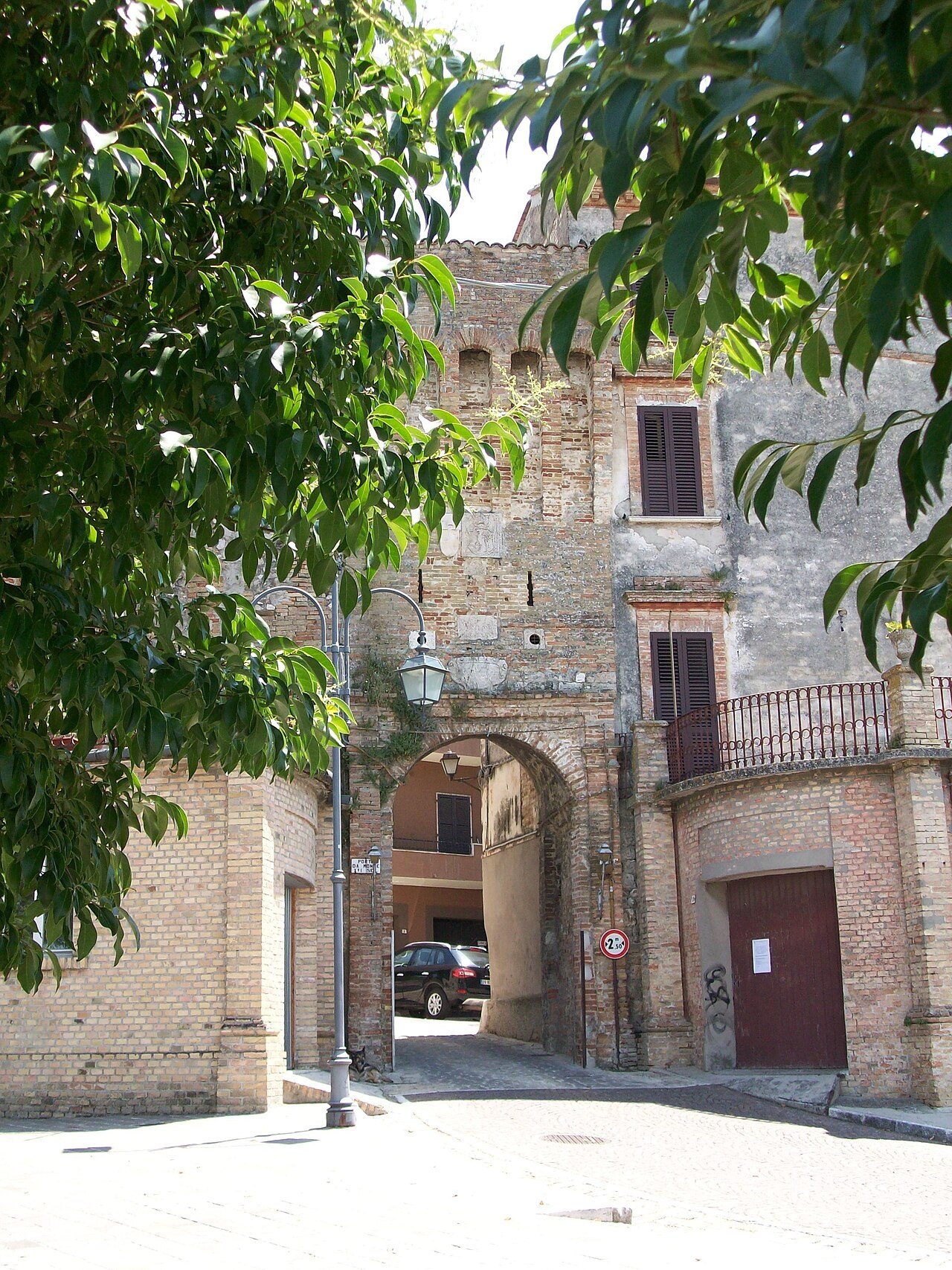
Ancarano stands on a hill overlooking the Tronto valley, on the border with Ascoli Piceno, Colli del Tronto and Spinetoli. According to tradition the name comes from Ancaria, a goddess worshipped by the Piceni with a temple on the hill. Rebuilt as a castle after the Saracen raids, it was given by Charlemagne to the bishop of Ascoli and became his summer residence; disputed in the 15th century between the Acquaviva and the Sforza, it was besieged by the Duke of Alba in the 16th century. It remained tied to Ascoli and the Papal State until 1852.
The medieval gates, Porta del Monte facing the Sibillini and Porta da Mare, with the coats of arms of the bishops of Ascoli and corbelled towers; the bell tower in piazza Belvedere Cecco d’Ascoli, all that remains of the church of Santa Maria Assunta; the church of the Madonna della Pace with the Renaissance statue of the Madonna (1490) by Silvestro dell’Aquila; the centrally planned church of the Madonna della Misericordia with its elliptical dome (1628); the chapel of San Rocco and the Fonte di Monsignore.
Municipality of Ancarano: 0861 870913 · www.comune.ancarano.te.it
🔎 Search all of Abruzzo · Data checked on Google Maps, Tripadvisor and the businesses’ websites.
Torano Nuovo 237 m · province of Teramo
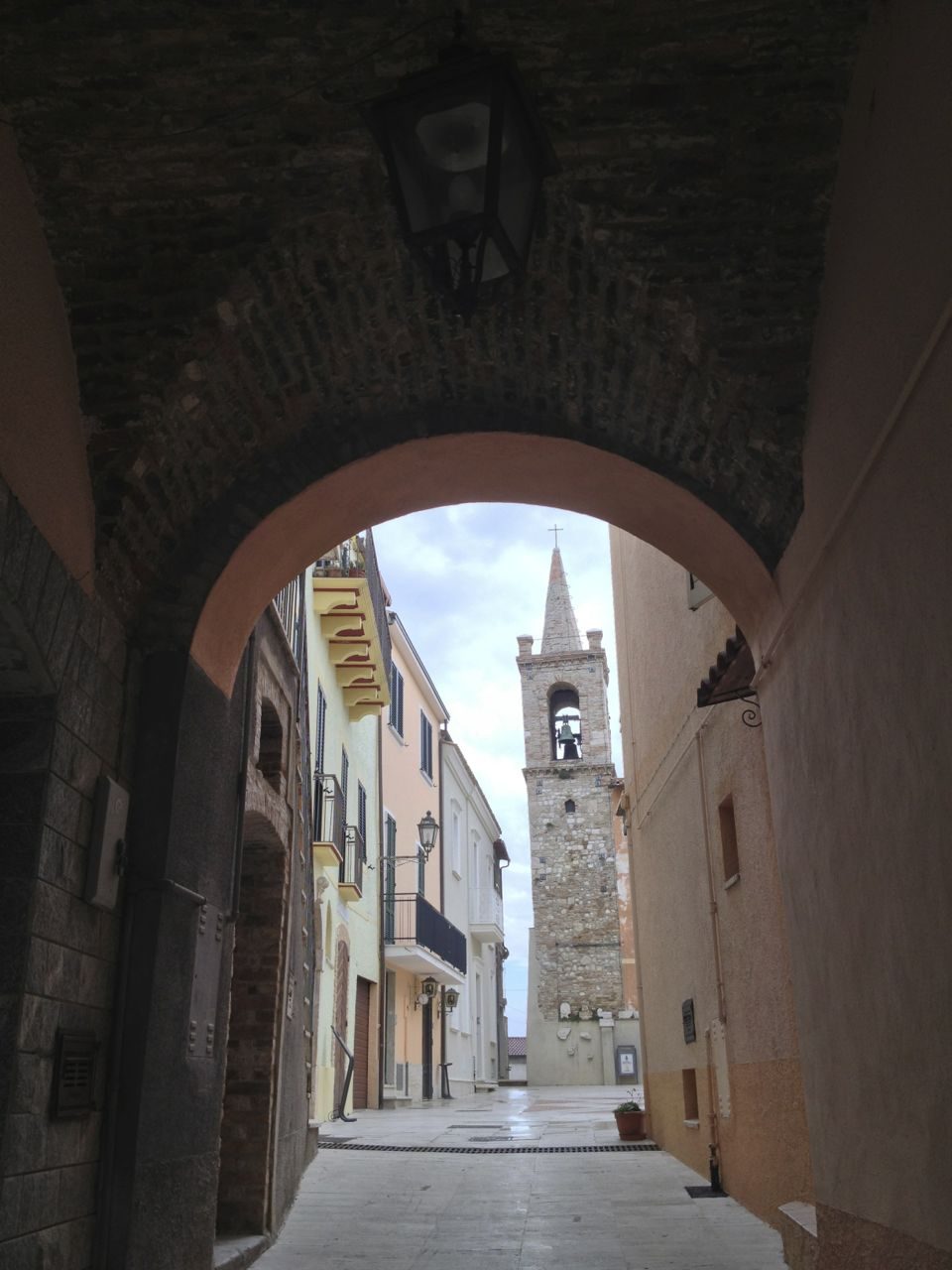
Torano Nuovo lies on the hills between Ancarano, Controguerra, Nereto and Sant’Omero. According to tradition the name comes from Turan, an ancient goddess of fertility. It was a border castle between the Kingdom of Naples and the Papal State: almost entirely destroyed during the war of Charles VIII, it was rebuilt by its own inhabitants. In 1490 the «peace of Torano» settled the disputes over the borders of Ancarano.
The parish church of the Madonna delle Grazie, the museum of sacred art, the churches of San Massimo di Varano and San Martino di Torri, the little square and the war memorial. The surrounding hills are covered with vineyards: several Montepulciano d’Abruzzo wineries are based in Torano and its hamlets.
Municipality of Torano Nuovo: 0861 82361 · www.comune.toranonuovo.te.it
🔎 Search all of Abruzzo · Data checked on Google Maps, Tripadvisor and the businesses’ websites.
Nereto 163 m · province of Teramo
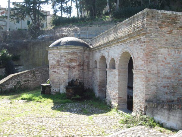
Nereto stands on a low hill in the middle of the Val Vibrata, about ten kilometres from the sea; it is the seat of the union of the valley’s municipalities. In Roman times the settlement was in the San Martino district (the Vicus Gallianus); the Castrum Nereti was born as a frontier castle after the Normans fixed the border on the Tronto. For centuries it was a «barony» of the commune of Ascoli, governed by the Council of Elders; back in the Kingdom of Naples, it was the seat of royal governors and later of justices of the peace. The local dialect still keeps traits of Ascoli.
The mother church of Maria Santissima della Consolazione, with a late Renaissance brick bell tower and an apse painted with the «miracle» of 22 December 1798, when according to tradition an army of angels put the French soldiers to flight: every year on that day the bells ring out. The church of the Suffragio in piazza Cavour, the Addolorata with its dome, San Martino (recorded as early as the 12th century, damaged by the 2009 earthquake) and San Rocco; the Fontana vecchia of 1881 with its masks.
Municipality of Nereto: 0861 806920 · www.comune.nereto.te.it
🔎 Search all of Abruzzo · Data checked on Google Maps, Tripadvisor and the businesses’ websites.
Corropoli 132 m · province of Teramo
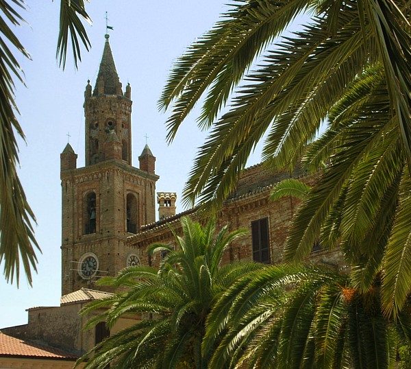
Corropoli stands on a hill between Nereto, Controguerra, Colonnella and Alba Adriatica. Its territory includes Ripoli, the Neolithic village of over 80 huts discovered by the local doctor Concezio Rosa, which gave its name to the «Ripoli culture». From 1393 it belonged to the Acquaviva, dukes of Atri, who built walls and a baronial castle there, their favourite residence: after the family died out the castle was demolished and in 1830 the square of Piè di Corte took its place.
The church of Sant’Agnese, sanctuary of the Madonna del Sabato Santo, with the bell tower of the school of Antonio da Lodi, symbol of the town and a «brother» of those of Teramo, Atri and Campli; the Badia, the abbey of Santa Maria di Mejulano, recorded from 1018 and later held by the Celestines; the Benedictine monastery of San Benedetto a Gabiano (12th century); the convent of Santa Maria degli Angeli at the Montagnola; the neo-Gothic church of San Giuseppe (1877); piazza Piè di Corte with its fountain of 1831-36 and the town hall in the palace of the Counts Ricci.
Municipality of Corropoli: 0861 80651 · www.comune.corropoli.te.it
🔎 Search all of Abruzzo · Data checked on Google Maps, Tripadvisor and the businesses’ websites.
Sant’Omero 209 m · province of Teramo
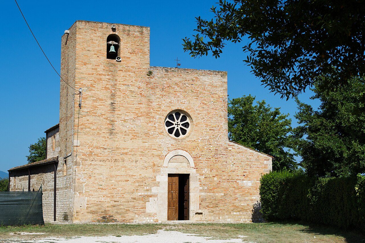
Sant’Omero sits on top of a hill between the Vibrata and the Salinello, about ten kilometres from the sea: on clear days you can see Monte Conero and, across the Adriatic, the mountains of Dalmatia. In Roman times there were the Castrum Rufi of Lucius Tarius Rufus (which gave Garrufo its name) and the Vicus Stramentarius. From 1382 to 1639 it belonged to the Acquaviva, who fortified the village with walls and a castle, then to the Mendoza, marquises of the Valle Siciliana. In 1823 a Roman milestone was found at Vallorina, from the road that ran up the valley towards the Salinello and the Laga.
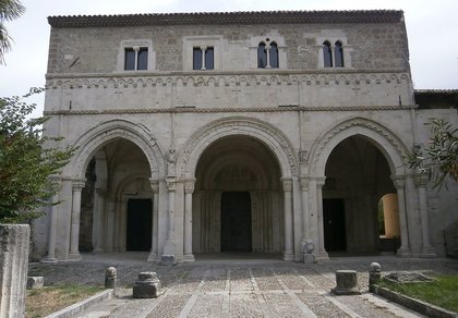
Santa Maria a Vico, a 10th-century church with early Christian and pre-Romanesque features, three naves and squat pillars: for the archaeologist Francesco Savini it is the oldest in Abruzzo, a national monument since 1902. In the centre, the remains of the medieval village and castle, the church of the Annunziata and the Baroque church of Sant’Antonio Abate. In the countryside, the earth houses along the Via delle Pinciare, for hiking, mountain biking and horse riding; among the craftsmen the art of bobbin lace lives on.
Municipality of Sant’Omero: comune.santomero.te.it
🔎 Search all of Abruzzo · Data checked on Google Maps, Tripadvisor and the businesses’ websites.
The hills of the valley are wine country: the red Colline Teramane Montepulciano d’Abruzzo DOCG, Montepulciano d’Abruzzo, Trebbiano d’Abruzzo and the wines of the Controguerra DOC. Many wineries in Ancarano, Torano Nuovo and Corropoli welcome visitors for tours and tastings: you will find them in the boxes of each municipality. The olive groves give extra virgin olive oil; on 1 May the whole Teramo area cooks the virtù teramane.
Abruzzo recipes are on our typical cuisine page.
From the A14 motorway take the Val Vibrata exit and drive up the valley on the SS259 «Vibrata» road, which runs from Alba Adriatica through Corropoli, Nereto, Garrufo and Sant’Egidio to Folignano (Ascoli Piceno). Ancarano has its own «Ancarano-Castel di Lama» junction on the Ascoli-sea motorway link (RA11), which connects the A14 to the Via Salaria.
Teramo is about half an hour away; Ascoli Piceno and San Benedetto del Tronto are about 25 kilometres away. Forecast: Abruzzo weather.
Wineries and farm stays often welcome visitors by appointment: call before you go.
Sant’Egidio alla Vibrata, at 239 m, is best visited at Carnival for the parade of allegorical floats, in September and October for the grape harvest and winery visits and all year round for the historic centre.
Ancarano, at 294 m, is best visited in September and October for the grape harvest and winery visits and all year round for the historic centre.
Torano Nuovo, at 237 m, is best visited in September and October for the grape harvest and winery visits and in spring and autumn for the mild weather.
Nereto, at 163 m, is best visited all year round for the historic centre and in spring and autumn for the mild weather.
Corropoli, at 132 m, is best visited all year round for the historic centre and in September and October for the grape harvest and winery visits.
Sant’Omero, at 209 m, is best visited all year round for the historic centre and in spring and autumn for the mild weather.
Sant’Egidio alla Vibrata, Ancarano, Torano Nuovo, Nereto, Corropoli and Sant’Omero, each with hamlets, sights, forecast and businesses. The other villages of the valley have their own page: Civitella del Tronto, Controguerra, Colonnella and the coastal towns.
From Corropoli, Nereto and Sant’Omero the beaches of Alba Adriatica, Tortoreto and Martinsicuro are about 10 kilometres away, a quarter of an hour by car; from Sant’Egidio and Ancarano about 20 kilometres.
In the «Where to eat, sleep and what to find» box in each village’s section: restaurants, hotels, B&Bs, bars, local produce shops, churches, monuments, huts and tourist offices, with a Google Maps link. All villages are also in the search by category.

Rocca di Mezzo, Rocca di Cambio, Rovere, Terranera, Ovindoli

The Medieval Villages of the Gran Sasso, with their castles, towers, and ancient settlements that once dominated Abruzzo

The village of Cappadocia, in the western part of the Aquilan Abruzzo

The village of Casamaina, a favourite among skiers heading to Campo Felice or Ovindoli

The village of Castel del Monte, the highest settlement in the Gran Sasso area

The village of Civitella Alfedena, in the Abruzzo, Lazio and Molise National Park

Mountaineering on the Gran Sasso, the ideal place for freeride lovers seeking demanding routes

The city of L'Aquila, with its restored Renaissance palaces, a place rich in culture

The 2012 snowfall in L'Aquila brought over one metre of snow in 24 hours — unbelievable images

The village of Pescasseroli, heart of the Abruzzo, Lazio and Molise National Park

The village of Pietracamela, on the north-eastern side of the Gran Sasso, at the foot of Corno Piccolo — a magical and unexpected place

Prati di Tivo, a winter ski resort offering breathtaking views to all who visit

San Domenico and the Serpari ritual, held every first Thursday of May

The 2012 snowfall in Scoppito reached nearly two metres in height

The village of Opi, a splendid settlement in the Abruzzo, Lazio and Molise National Park











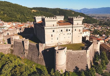
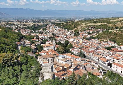
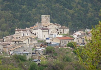
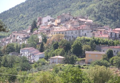


Punta Aderci, with the Abruzzese trabocchi stretching from Vasto through Fossacesia to San Vito Chietino


Lake Campotosto, nestled between the Gran Sasso and Monti della Laga ranges, within the national park of the same name

The Capodacqua reservoir, with submerged mills and crystal-clear waters, a paradise for divers

The swimming lake of Scanno, named after the village overlooking it — a place worth visiting

Lake Sinizzo, just a few kilometres from San Demetrio, is the ideal place for nature lovers seeking fresh, clear waters

Lake San Domenico, named after the nearby hermitage; its crystal-clear waters make it unique. Swimming not allowed

The Fountain of the 99 Spouts, a symbol of the city of L'Aquila

The Basilica of Santa Maria di Collemaggio, resting place of Pope Celestine V

The Sanctuary of Madonna d'Appari, set among the rocks along the road between Paganica and Assergi

The Church of San Panfilo, in the municipality of Tornimparte, with its frescoes — a place worth visiting

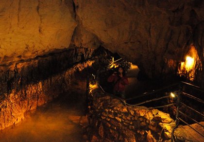
The Stiffe Caves, inside the Velino-Sirente Regional Park — a magical place to explore
The most popular ski resorts, the updated snow report and useful information on how to find lifts or book accommodation for your winter holiday
Vai
View the webcams in Abruzzo and check real‑time weather conditions. Some webcams belong to www.abruzzoparchi.it, others are located throughout the region
Vai
Weather forecasts for the coming days in Abruzzo. Live weather via our webcams and temperatures recorded in several mountain areas
Vai
Maps for trekking, mountain biking, ski touring, running and horse riding. You can also download the GPX track of each route
Vai
Walks, diving, climbing, mountain biking, horse riding — all outdoor activities available in Abruzzo
Vai
Choose between sea or mountains, summer or winter, a sporty holiday or a relaxing one — Abruzzo has it all
Vai
Abruzzo is famous for its cuisine, both mountain and coastal, with traditions that vary from area to area
Vai
Abruzzo’s villages are famous for their fortresses, mountains and the traditional trabocchi along the southern coast
Vai
One of Italy’s most famous and oldest national parks
Vai
One of Italy’s wildest parks, with typical Apennine landscapes and Dolomite‑like peaks
Vai
Located in the heart of the Apennines, home to the beautiful villages of the Rocche Plateau
Vai
One of the snowiest places in Italy, a unique mountain massif rising close to the sea
Vai