
Skiing in Abruzzo – snow report
The most popular ski resorts, the updated snow report and useful information on how to find lifts or book accommodation for your winter holiday


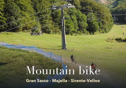
The MTB routes marked by the Gran Sasso, Majella and Sirente-Velino parks on one map: for each one, length, altitudes, difficulty, elevation profile, GPX and a link to the park’s official route page.
The most popular ski resorts, the updated snow report and useful information on how to find lifts or book accommodation for your winter holiday
View the webcams in Abruzzo and check real‑time weather conditions. Some webcams belong to www.abruzzoparchi.it, others are located throughout the region

Weather forecasts for the coming days in Abruzzo. Live weather via our webcams and temperatures recorded in several mountain areas
Maps for trekking, mountain biking, ski touring, running and horse riding. You can also download the GPX track of each route
Abruzzo’s villages are famous for their fortresses, mountains and the traditional trabocchi along the southern coast
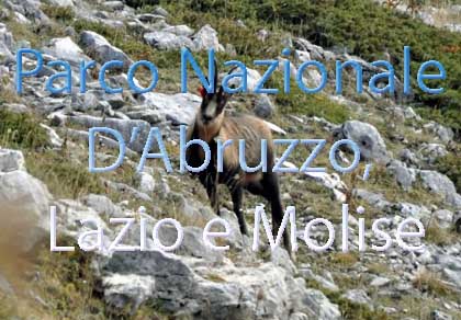
One of Italy’s most famous and oldest national parks
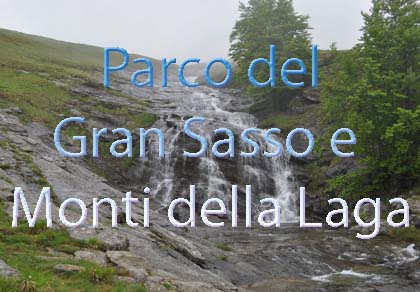
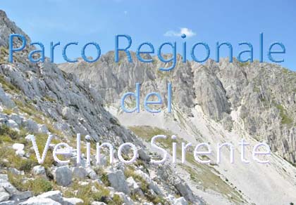
Located in the heart of the Apennines, home to the beautiful villages of the Rocche Plateau
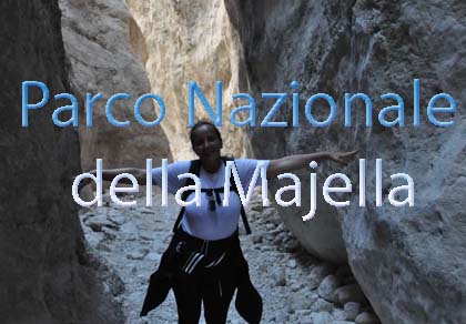
One of the snowiest places in Italy, a unique mountain massif rising close to the sea
Choose between sea or mountains, summer or winter, a sporty holiday or a relaxing one — Abruzzo has it all

Abruzzo is famous for its cuisine, both mountain and coastal, with traditions that vary from area to area
Walks, diving, climbing, mountain biking, horse riding — all outdoor activities available in Abruzzo
The MTB routes marked by the Gran Sasso, Majella and Sirente-Velino parks on one map: for each one, length, altitudes, difficulty, elevation profile, GPX and a link to the park’s official route page.
Tap a route on the map or the “See on the map” button on a route card. Colours show the difficulty.
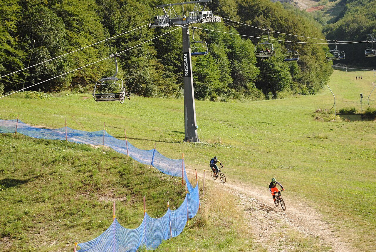
The park has set up a cycle-touring network along the Gran Sasso horse-riding trail (Ippovia): 13 starting points, grouped by district, each with two or three routes. Lengths, ascent, highest points, surface, times and difficulty come from the park’s route pages; “A+R” times are for the return trip.
The Majella has the largest MTB network in Abruzzo: numbered routes, marked with wooden signs and grouped by area. Lengths, difficulty and status come from the park’s route pages (the park is revising the whole network); altitudes and ascent were calculated by us from the terrain model along the official tracks.
Between the Morrone and the Majella, around Sant’Eufemia a Maiella, Roccacaramanico and Passo San Leonardo: easy loops on dirt and tarmac, the long MTB 1 link towards the Lama Bianca reserve and short descents through the beech woods.
Altitudes and ascent calculated from the terrain model.
Altitudes and ascent calculated from the terrain model.
Altitudes and ascent calculated from the terrain model.
Altitudes and ascent calculated from the terrain model.
Altitudes and ascent calculated from the terrain model.
Altitudes and ascent calculated from the terrain model.
Altitudes and ascent calculated from the terrain model.
Altitudes and ascent calculated from the terrain model.
Currently closed, according to the park’s route page: MTB 12 Caramanico – Sant’Eufemia, MTB 2 Addiaccio della Chiesa (Sant’Eufemia a Maiella), MTB 8A La Fonticella, MTB 8B Grotta dei Lucidi, MTB 11 Roccacaramanico – Salle.
Back roads and dirt tracks between San Valentino in Abruzzo Citeriore, Abbateggio, Roccamorice and the Valle Giumentina: easy routes, suitable for beginners too, up to the Santo Spirito a Majella hermitage.
Altitudes and ascent calculated from the terrain model.
Altitudes and ascent calculated from the terrain model.
Altitudes and ascent calculated from the terrain model.
Altitudes and ascent calculated from the terrain model.
Altitudes and ascent calculated from the terrain model.
Altitudes and ascent calculated from the terrain model.
Two climbs from Lettomanoppello to Passo Lanciano: the classic MTB 20A, also ridden by the Giro d’Italia, and MTB 20B, almost entirely off-road. Higher up, the Passo Lanciano descents, many of them difficult. MTB 26 reaches the highest point of the park’s network.
Altitudes and ascent calculated from the terrain model.
Altitudes and ascent calculated from the terrain model.
Altitudes and ascent calculated from the terrain model.
Altitudes and ascent calculated from the terrain model.
Altitudes and ascent calculated from the terrain model.
Altitudes and ascent calculated from the terrain model.
Altitudes and ascent calculated from the terrain model.
Altitudes and ascent calculated from the terrain model.
Currently closed, according to the park’s route page: MTB 21 Lettomanoppello – Bocca di Valle.
Bocca di Valle, above Guardiagrele, is the historic home of downhill mountain biking in Abruzzo. Many trails are currently closed; descents MTB 36, 37 and 38 remain open.
Altitudes and ascent calculated from the terrain model.
Altitudes and ascent calculated from the terrain model.
Altitudes and ascent calculated from the terrain model.
Currently closed, according to the park’s route page: MTB 30 Valle delle Monache (Guardiagrele), MTB 31 Piana delle Mele, MTB 32 Grande Faggio, MTB 33 Cascata San Giovanni, MTB 34 Piana della Civita, MTB 35A Sentiero Italia, MTB 35B Variante Sentiero Italia.
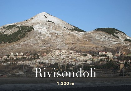
Long, mostly easy cycle-touring links on the eastern side and over the Monti Pizzi: from Bocca di Valle to Fara San Martino, on to Palena station, and from Gamberale to Rivisondoli.
Altitudes and ascent calculated from the terrain model.
Altitudes and ascent calculated from the terrain model.
Altitudes and ascent calculated from the terrain model.
Currently closed, according to the park’s route page: MTB 41 Palena – Gamberale.
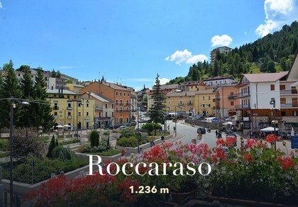
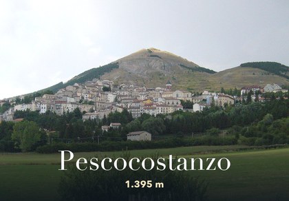
Mule tracks and dirt roads between Campo di Giove, Piano Cerreto, Cansano, Rivisondoli and Pescocostanzo: the scenic Macchia di Secina loop, the all-mountain Monte Calvario loop and the links towards Sulmona.
Altitudes and ascent calculated from the terrain model.
Altitudes and ascent calculated from the terrain model.
Altitudes and ascent calculated from the terrain model.
Altitudes and ascent calculated from the terrain model.
Altitudes and ascent calculated from the terrain model.
Altitudes and ascent calculated from the terrain model.
Altitudes and ascent calculated from the terrain model.
Altitudes and ascent calculated from the terrain model.
Altitudes and ascent calculated from the terrain model.
Altitudes and ascent calculated from the terrain model.
The western side of the Morrone above Sulmona and Popoli: climbs to the Capoposto, Colle delle Vacche and Monte Corvo huts and to the Wolf Visitor Centre, plus some very technical descents around Popoli.
Altitudes and ascent calculated from the terrain model.
Altitudes and ascent calculated from the terrain model.
Altitudes and ascent calculated from the terrain model.
Altitudes and ascent calculated from the terrain model.
Altitudes and ascent calculated from the terrain model.
Altitudes and ascent calculated from the terrain model.
Altitudes and ascent calculated from the terrain model.
Altitudes and ascent calculated from the terrain model.
Altitudes and ascent calculated from the terrain model.
Altitudes and ascent calculated from the terrain model.
Altitudes and ascent calculated from the terrain model.
Altitudes and ascent calculated from the terrain model.
The Grande Anello del Parco is a loop of about 80 km starting and finishing in Rocca di Mezzo, marked with signs and information panels. The park recommends it from May to October: fit riders can do it in a day, others in several stages, staying in the villages along the way. The park’s route page lists its condition as “under review”: check before setting off.
Condition under review
The Ciclovia delle Rocche also crosses the Altopiano delle Rocche: a one-day, two-stage route of medium difficulty that climbs from Ocre to Rocca di Cambio, passes Rocca di Mezzo, Piani di Pezza, Rovere, Ovindoli and Terranera and returns to Ocre. The Ciclovia delle Rocche on italia.it.
The Abruzzo, Lazio and Molise National Park does not publish a list of MTB routes like the other parks: its Park Plan includes a map of the trails open to mountain bikes, and some sensitive areas have stricter rules. Before setting off, ask the park’s visitor centres which trails are open to bikes.
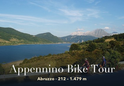
For multi-day rides: the Appennino Bike Tour crosses Abruzzo in four stages, from the Laga mountains to Molise.
Helmet, repair kit, water and a jacket even in summer: in the mountains the weather changes fast and above 2,000 metres there is no shelter. Before setting off, check the forecast with the wind at altitude and the safety advice for mountain biking.

Rocca di Mezzo, Rocca di Cambio, Rovere, Terranera, Ovindoli

The Medieval Villages of the Gran Sasso, with their castles, towers, and ancient settlements that once dominated Abruzzo

The village of Cappadocia, in the western part of the Aquilan Abruzzo

The village of Casamaina, a favourite among skiers heading to Campo Felice or Ovindoli

The village of Castel del Monte, the highest settlement in the Gran Sasso area

The village of Civitella Alfedena, in the Abruzzo, Lazio and Molise National Park

Mountaineering on the Gran Sasso, the ideal place for freeride lovers seeking demanding routes

The city of L'Aquila, with its restored Renaissance palaces, a place rich in culture

The 2012 snowfall in L'Aquila brought over one metre of snow in 24 hours — unbelievable images

The village of Pescasseroli, heart of the Abruzzo, Lazio and Molise National Park

The village of Pietracamela, on the north-eastern side of the Gran Sasso, at the foot of Corno Piccolo — a magical and unexpected place

Prati di Tivo, a winter ski resort offering breathtaking views to all who visit

San Domenico and the Serpari ritual, held every first Thursday of May

The 2012 snowfall in Scoppito reached nearly two metres in height

The village of Opi, a splendid settlement in the Abruzzo, Lazio and Molise National Park





Punta Aderci, with the Abruzzese trabocchi stretching from Vasto through Fossacesia to San Vito Chietino


Lake Campotosto, nestled between the Gran Sasso and Monti della Laga ranges, within the national park of the same name

The Capodacqua reservoir, with submerged mills and crystal-clear waters, a paradise for divers

The swimming lake of Scanno, named after the village overlooking it — a place worth visiting

Lake Sinizzo, just a few kilometres from San Demetrio, is the ideal place for nature lovers seeking fresh, clear waters

Lake San Domenico, named after the nearby hermitage; its crystal-clear waters make it unique. Swimming not allowed

The Fountain of the 99 Spouts, a symbol of the city of L'Aquila

The Basilica of Santa Maria di Collemaggio, resting place of Pope Celestine V

The Sanctuary of Madonna d'Appari, set among the rocks along the road between Paganica and Assergi

The Church of San Panfilo, in the municipality of Tornimparte, with its frescoes — a place worth visiting

The Stiffe Caves, inside the Velino-Sirente Regional Park — a magical place to explore
The most popular ski resorts, the updated snow report and useful information on how to find lifts or book accommodation for your winter holiday
Vai
View the webcams in Abruzzo and check real‑time weather conditions. Some webcams belong to www.abruzzoparchi.it, others are located throughout the region
Vai
Weather forecasts for the coming days in Abruzzo. Live weather via our webcams and temperatures recorded in several mountain areas
Vai
Maps for trekking, mountain biking, ski touring, running and horse riding. You can also download the GPX track of each route
Vai
Walks, diving, climbing, mountain biking, horse riding — all outdoor activities available in Abruzzo
Vai
Choose between sea or mountains, summer or winter, a sporty holiday or a relaxing one — Abruzzo has it all
Vai
Abruzzo is famous for its cuisine, both mountain and coastal, with traditions that vary from area to area
Vai
Abruzzo’s villages are famous for their fortresses, mountains and the traditional trabocchi along the southern coast
Vai
One of Italy’s most famous and oldest national parks
Vai
One of Italy’s wildest parks, with typical Apennine landscapes and Dolomite‑like peaks
Vai
Located in the heart of the Apennines, home to the beautiful villages of the Rocche Plateau
Vai
One of the snowiest places in Italy, a unique mountain massif rising close to the sea
Vai