
Skiing in Abruzzo – snow report
The most popular ski resorts, the updated snow report and useful information on how to find lifts or book accommodation for your winter holiday


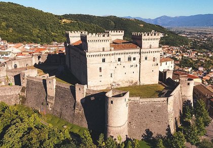
Pettorano sul Gizio lies at 625 metres at the head of the Valle Peligna, below the Cantelmo castle. It is one of the Most Beautiful Villages in Italy and home to the Monte Genzana and Alto Gizio reserve, in the Majella National Park.
The most popular ski resorts, the updated snow report and useful information on how to find lifts or book accommodation for your winter holiday

View the webcams in Abruzzo and check real‑time weather conditions. Some webcams belong to www.abruzzoparchi.it, others are located throughout the region

Weather forecasts for the coming days in Abruzzo. Live weather via our webcams and temperatures recorded in several mountain areas
Maps for trekking, mountain biking, ski touring, running and horse riding. You can also download the GPX track of each route
Abruzzo’s villages are famous for their fortresses, mountains and the traditional trabocchi along the southern coast
One of Italy’s most famous and oldest national parks
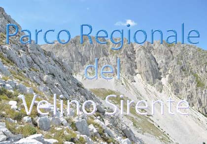
Located in the heart of the Apennines, home to the beautiful villages of the Rocche Plateau
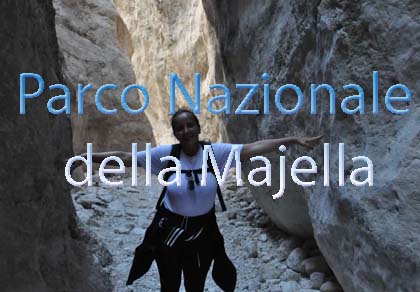
One of the snowiest places in Italy, a unique mountain massif rising close to the sea
Choose between sea or mountains, summer or winter, a sporty holiday or a relaxing one — Abruzzo has it all

Abruzzo is famous for its cuisine, both mountain and coastal, with traditions that vary from area to area
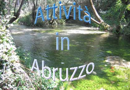
Walks, diving, climbing, mountain biking, horse riding — all outdoor activities available in Abruzzo
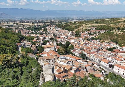
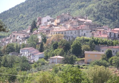
A village of twelve hundred people, rebuilt in the 18th century after the 1706 earthquake, with medieval gates, noble palaces and the castle overlooking the Gizio valley. All around are the beech woods of the Monte Genzana reserve; Sulmona is ten kilometres away.
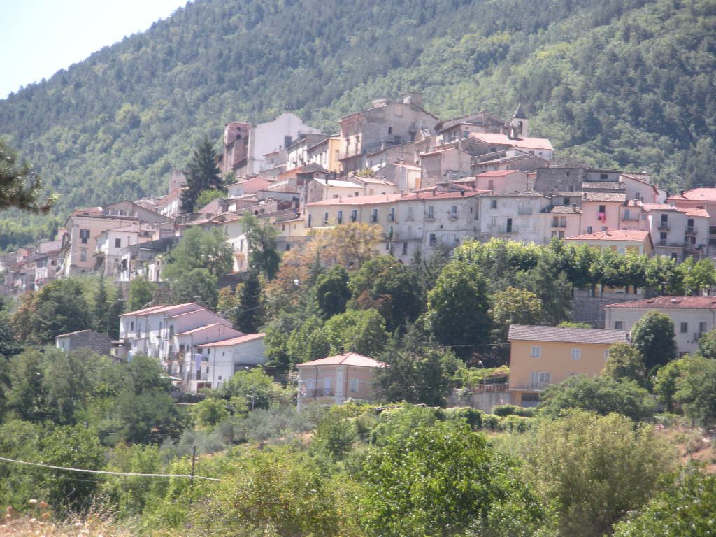
The village stands on the Gizio river, where the SS17 road starts climbing towards the high plateaus.
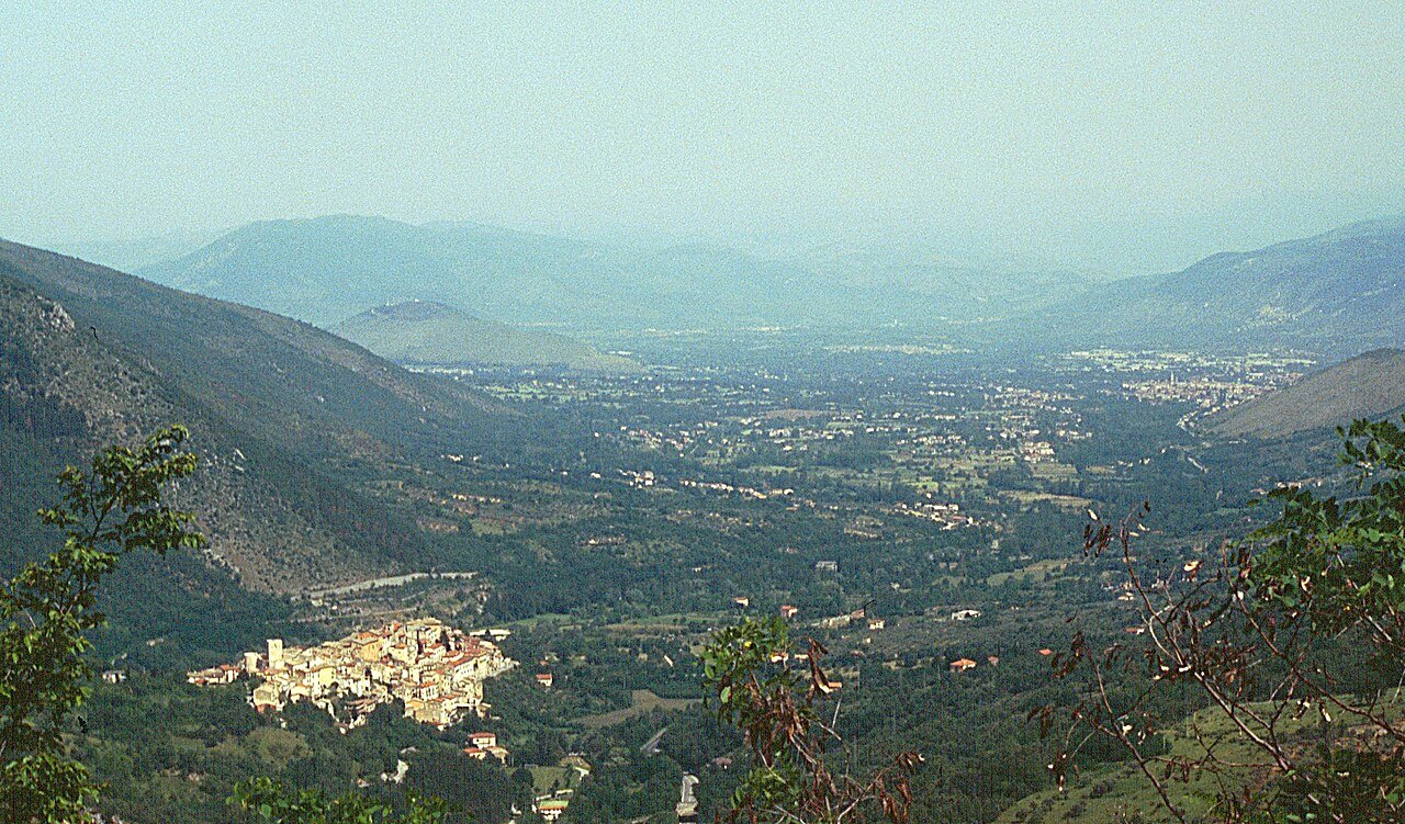
Pettorano stands on the Gizio river, south of Sulmona, where the Valle Peligna closes and the road climbs towards Rocca Pia, Roccaraso and the Altopiani Maggiori. The municipality lies in the Majella National Park and includes the hamlet of Vallelarga and the station on the Sulmona – Carpinone railway.
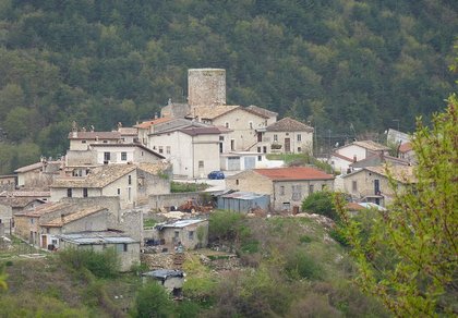
The village grew in the Middle Ages around a Norman watchtower. It passed to the Angevins, to the Caldora family and in the 16th century to the Cantelmo of Popoli. The 1706 Majella earthquake devastated it and it was rebuilt in the 18th century: thanks to its well-preserved old town it is now one of the Most Beautiful Villages in Italy. The village keeps the only Greek fragment found in the West of Diocletian’s Edict on Prices.
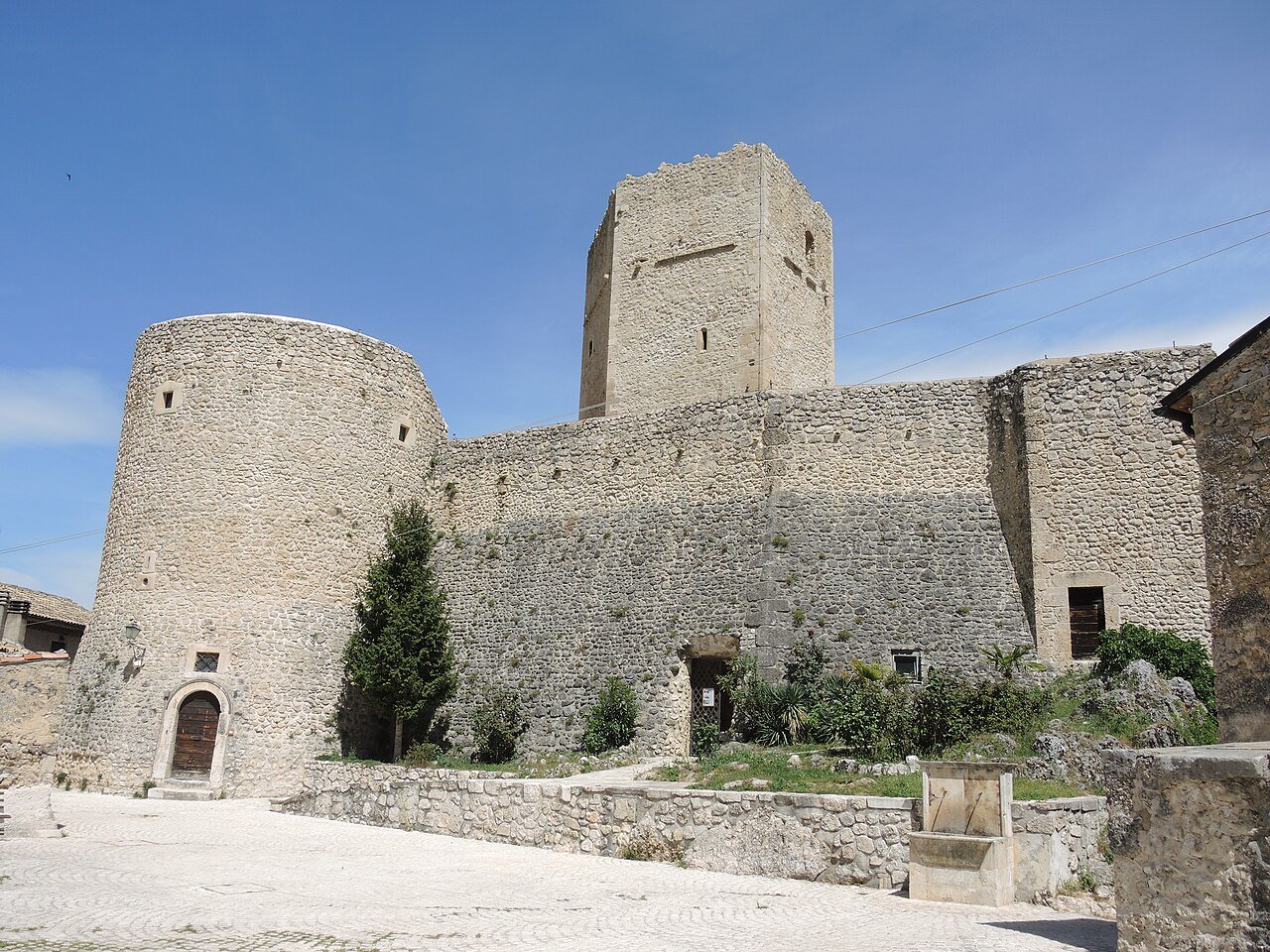
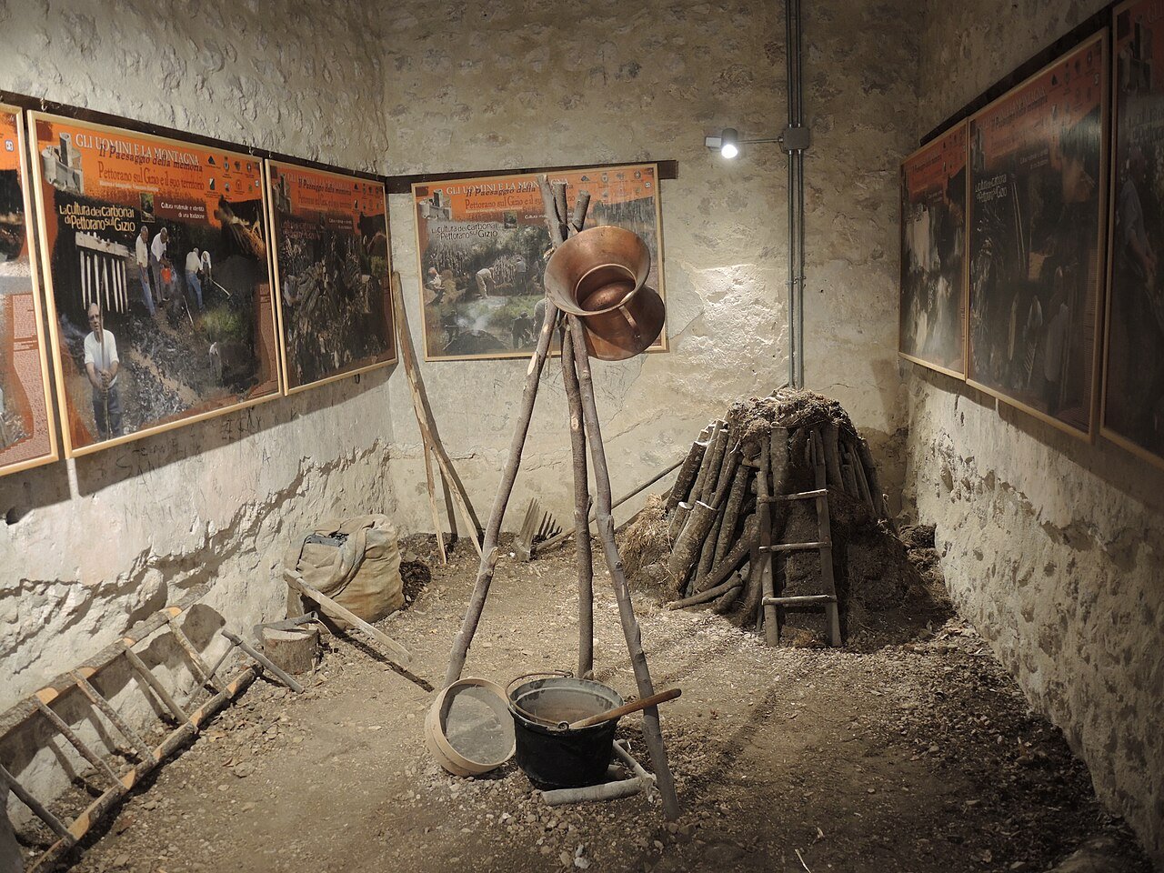
One of the main fortresses of the Valle Peligna, built by the Normans in the 11th century and later held by the Angevins and the Cantelmo. After the 1706 earthquake half of the castle became the owners’ residence; they gave it to the municipality in 1977. The Norman pentagonal tower and two smaller towers survive; inside there is a room devoted to polenta rognosa, and it is the visitor centre of the Monte Genzana reserve. For opening times and visits call the reserve (0864 487006).
The parish church of the Blessed Virgin Mary and San Dionisio, in Piazza Umberto I, dates from the 15th century, built for the Cantelmo and remodelled in 1718: inside are gilded chapels, 18th-century paintings by Vincenzo Figluolino and a 14th-century wooden crucifix. San Nicola di Bari keeps its medieval façade with a Romanesque portal; Sant’Antonio di Padova has a neoclassical façade and wooden statues; San Rocco was built after 1656.
Palazzo La Castaldina, seat of the Cantelmo administrators, has a baroque façade of 1794 and a private chapel. La Locanda, near the castle, was the post station for changing horses; King Ferdinand II of Bourbon stayed at Palazzo Vitto Massei in 1832. Of the medieval gates, Porta San Marco, Porta Santa Margherita, Porta San Nicola with its 1656 fresco, Porta del Mulino and Porta Cencio survive. In Piazza Umberto I stands the 1897 fountain with Neptune and Amphitrite.
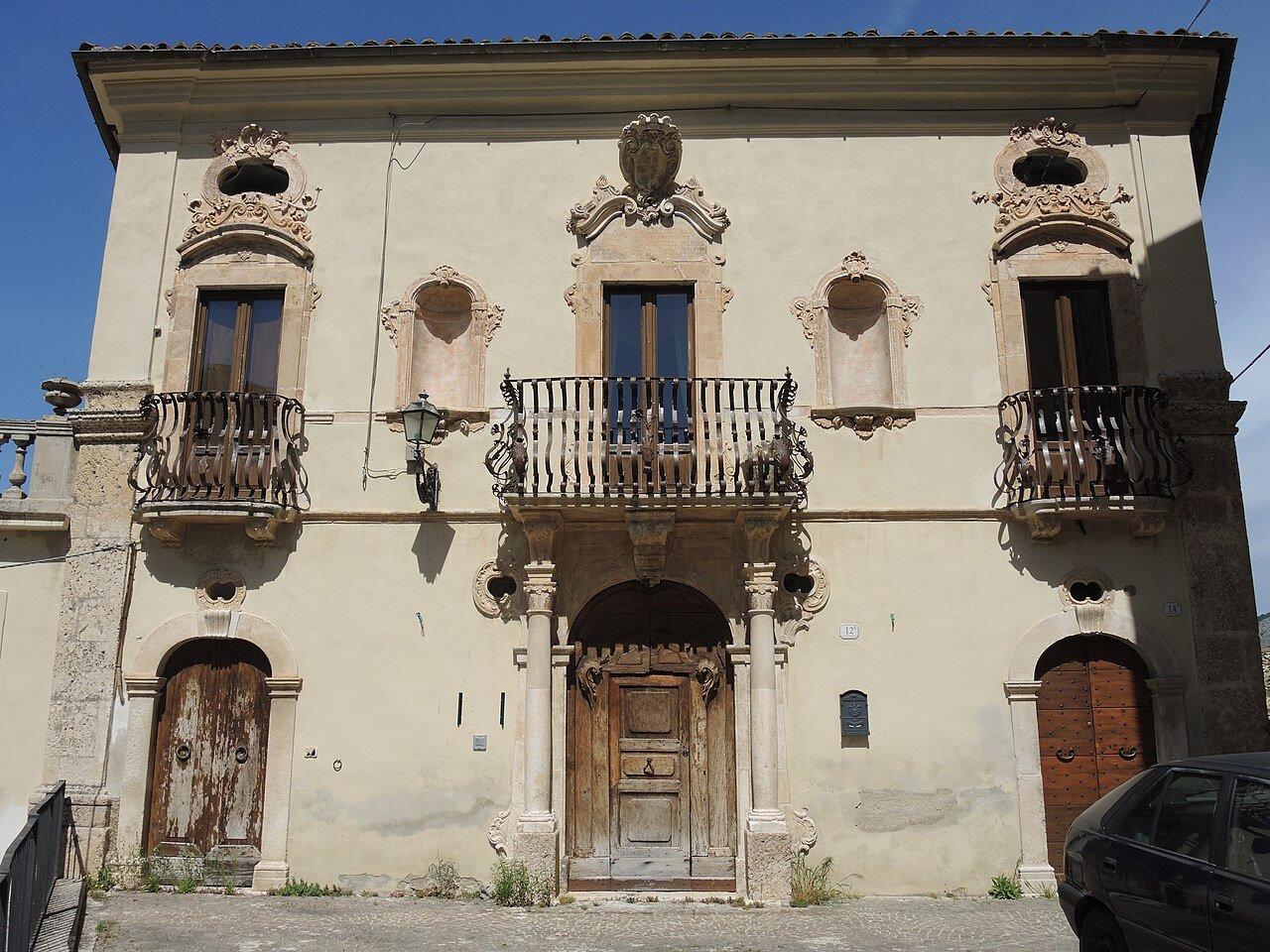
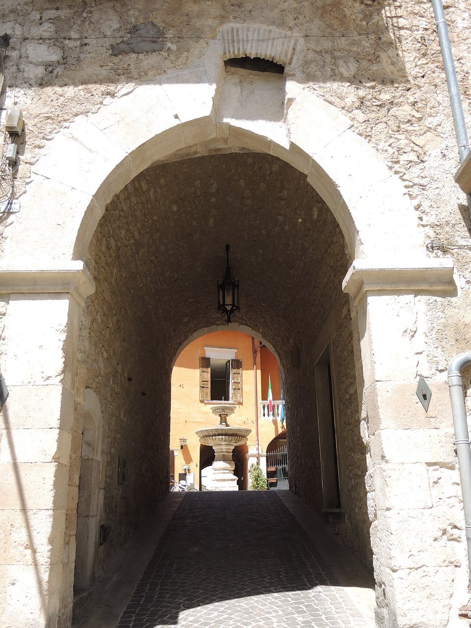
Below the village, along the Gizio, an open-air trail tells the story of the mills and workshops powered by water. Information from the reserve.
The Monte Genzana and Alto Gizio nature reserve has its headquarters in the village and protects woods, beech forests and the course of the Gizio, the «icy waters» sung by Ovid, once rich in brown trout. Bears and wolves live here, along with peregrine falcons, goshawks, honey buzzards and hobbies. Trails lead from the village to the Gizio springs and Monte Genzana; more routes in the Majella Park hiking guide.
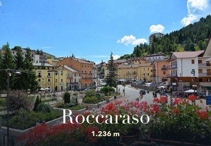
The SS17 takes you in about 26 km (half an hour) to the slopes of Roccaraso and the Alto Sangro, via Rocca Pia. On the other side, via Cansano, are the lifts of Campo di Giove, about 25 km away. Snow and lifts open today in the snow report.
On 6 January, in Piazza Umberto I, the historic polenta rognosa festival takes place: polenta cooked in a copper cauldron, cut with a string and topped with a sauce of meat, sausage and pecorino. The date may change: check the municipal website.
The village dish is polenta rognosa, served in several of the village restaurants. From the Valle Peligna come Sulmona red garlic and Sulmona confetti; home-style dishes include sagne and beans. More products in Flavours of the parks, all the recipes in traditional Abruzzo cuisine.
Restaurants, pizzerias, B&Bs, holiday homes, museums and grocery: open the list. For each one address, phone, map and, where available, website and Tripadvisor.
🔎 Search all of Abruzzo · Data checked on Google Maps, Tripadvisor and the businesses’ websites.
By car: A25 Rome – Pescara motorway, Sulmona-Pratola Peligna exit, then the SS17 towards Roccaraso; Sulmona is about 10 km away, Roccaraso 26, Scanno 37. By train: Pettorano sul Gizio station is on the Sulmona – Carpinone line; the nearest main station is Sulmona, with lines to Rome, Pescara and L’Aquila. Getting around Abruzzo.

Rocca di Mezzo, Rocca di Cambio, Rovere, Terranera, Ovindoli

The Medieval Villages of the Gran Sasso, with their castles, towers, and ancient settlements that once dominated Abruzzo

The village of Cappadocia, in the western part of the Aquilan Abruzzo

The village of Casamaina, a favourite among skiers heading to Campo Felice or Ovindoli

The village of Castel del Monte, the highest settlement in the Gran Sasso area

The village of Civitella Alfedena, in the Abruzzo, Lazio and Molise National Park

Mountaineering on the Gran Sasso, the ideal place for freeride lovers seeking demanding routes

The city of L'Aquila, with its restored Renaissance palaces, a place rich in culture

The 2012 snowfall in L'Aquila brought over one metre of snow in 24 hours — unbelievable images

The village of Pescasseroli, heart of the Abruzzo, Lazio and Molise National Park

The village of Pietracamela, on the north-eastern side of the Gran Sasso, at the foot of Corno Piccolo — a magical and unexpected place

Prati di Tivo, a winter ski resort offering breathtaking views to all who visit

San Domenico and the Serpari ritual, held every first Thursday of May

The 2012 snowfall in Scoppito reached nearly two metres in height

The village of Opi, a splendid settlement in the Abruzzo, Lazio and Molise National Park





Punta Aderci, with the Abruzzese trabocchi stretching from Vasto through Fossacesia to San Vito Chietino


Lake Campotosto, nestled between the Gran Sasso and Monti della Laga ranges, within the national park of the same name

The Capodacqua reservoir, with submerged mills and crystal-clear waters, a paradise for divers

The swimming lake of Scanno, named after the village overlooking it — a place worth visiting

Lake Sinizzo, just a few kilometres from San Demetrio, is the ideal place for nature lovers seeking fresh, clear waters

Lake San Domenico, named after the nearby hermitage; its crystal-clear waters make it unique. Swimming not allowed

The Fountain of the 99 Spouts, a symbol of the city of L'Aquila

The Basilica of Santa Maria di Collemaggio, resting place of Pope Celestine V

The Sanctuary of Madonna d'Appari, set among the rocks along the road between Paganica and Assergi

The Church of San Panfilo, in the municipality of Tornimparte, with its frescoes — a place worth visiting

The Stiffe Caves, inside the Velino-Sirente Regional Park — a magical place to explore
The most popular ski resorts, the updated snow report and useful information on how to find lifts or book accommodation for your winter holiday
Vai
View the webcams in Abruzzo and check real‑time weather conditions. Some webcams belong to www.abruzzoparchi.it, others are located throughout the region
Vai
Weather forecasts for the coming days in Abruzzo. Live weather via our webcams and temperatures recorded in several mountain areas
Vai
Maps for trekking, mountain biking, ski touring, running and horse riding. You can also download the GPX track of each route
Vai
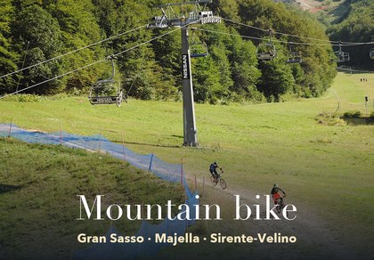
Walks, diving, climbing, mountain biking, horse riding — all outdoor activities available in Abruzzo
Vai
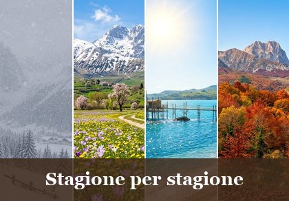
Choose between sea or mountains, summer or winter, a sporty holiday or a relaxing one — Abruzzo has it all
Vai
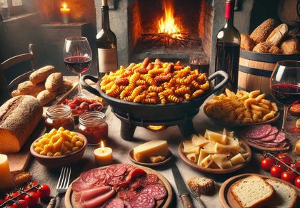
Abruzzo is famous for its cuisine, both mountain and coastal, with traditions that vary from area to area
Vai
Abruzzo’s villages are famous for their fortresses, mountains and the traditional trabocchi along the southern coast
Vai
One of Italy’s most famous and oldest national parks
Vai
One of Italy’s wildest parks, with typical Apennine landscapes and Dolomite‑like peaks
Vai
Located in the heart of the Apennines, home to the beautiful villages of the Rocche Plateau
Vai
One of the snowiest places in Italy, a unique mountain massif rising close to the sea
Vai