
Skiing in Abruzzo – snow report
The most popular ski resorts, the updated snow report and useful information on how to find lifts or book accommodation for your winter holiday


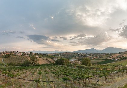
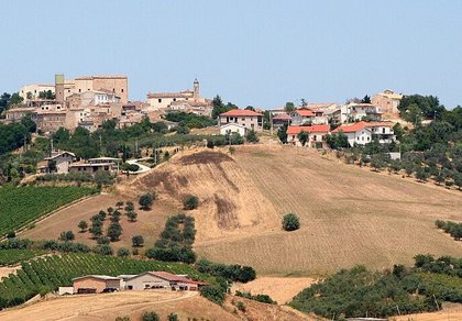
Hills of olive groves and vineyards between the Nora and Pescara valleys, in the shadow of the Gran Sasso: villages born around the abbeys of Carpineto and Casauria, Romanesque churches, castles and a Neolithic village.
The most popular ski resorts, the updated snow report and useful information on how to find lifts or book accommodation for your winter holiday

View the webcams in Abruzzo and check real‑time weather conditions. Some webcams belong to www.abruzzoparchi.it, others are located throughout the region

Weather forecasts for the coming days in Abruzzo. Live weather via our webcams and temperatures recorded in several mountain areas
Maps for trekking, mountain biking, ski touring, running and horse riding. You can also download the GPX track of each route
Abruzzo’s villages are famous for their fortresses, mountains and the traditional trabocchi along the southern coast
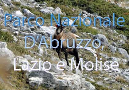
One of Italy’s most famous and oldest national parks
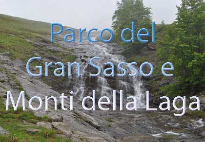
Located in the heart of the Apennines, home to the beautiful villages of the Rocche Plateau
One of the snowiest places in Italy, a unique mountain massif rising close to the sea
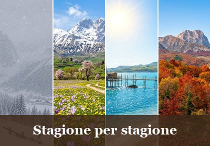
Choose between sea or mountains, summer or winter, a sporty holiday or a relaxing one — Abruzzo has it all

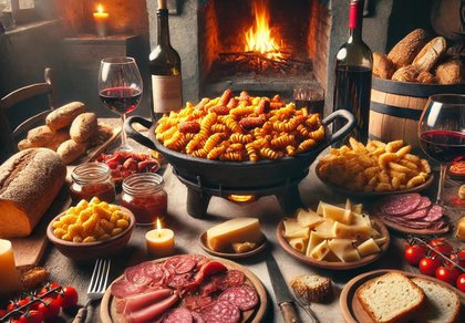
Abruzzo is famous for its cuisine, both mountain and coastal, with traditions that vary from area to area
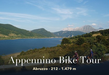
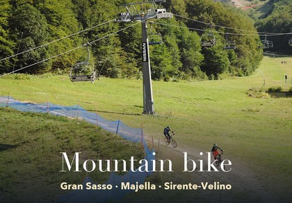
Walks, diving, climbing, mountain biking, horse riding — all outdoor activities available in Abruzzo
From Brittoli to Corvara, six municipalities and their hamlets: history, monuments, flavours and every business with phone and map.
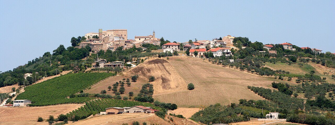
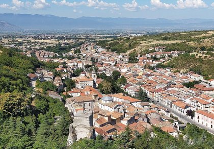
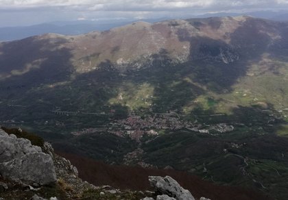
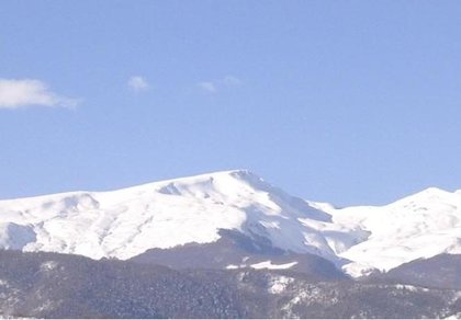
The Area vestina takes its name from the Vestini, the Italic people who lived in these hills before the Romans, with their centre at Penne. The six municipalities on this page belonged to the Comunità montana Vestina: Brittoli high up below the eastern side of the Gran Sasso, Civitaquana, Catignano and Nocciano on the hills of the Nora valley, Pietranico and Corvara on the heights running down to the Pescara valley, in the Terre di Casauria.
In the Middle Ages the whole area depended on two great abbeys: San Bartolomeo di Carpineto, which owned the castles of the Nora valley, and San Clemente a Casauria, which founded Pietranico and bought Corvara. Today it is a land of olive groves (this is the area of Aprutino Pescarese DOP oil), vineyards and wheat fields, with small quiet villages, Romanesque churches and castles turned into palaces, half an hour from Pescara and the sea.
For each village you will find history, monuments, weather forecast, town hall contacts and a list of restaurants, pizzerias, bars, B&Bs, farm stays, wineries, shops and churches with phone and map. The nearby towns have their own page: Civitella Casanova, Loreto Aprutino, Pianella and Penne.
Brittoli 779 m · province of Pescara
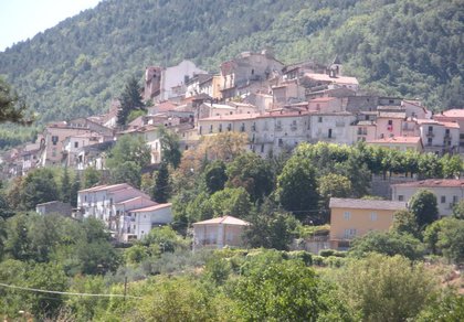
Brittoli is the highest and smallest of the six municipalities, on the first eastern slopes of the Gran Sasso, above the Nora valley. The Castrum Brittoli, already standing in 962, was founded as a settlement of the abbey of San Bartolomeo di Carpineto and was part of the system of watchtowers controlling the routes towards the Forca di Penne. The monastery’s chronicle tells that in 1090 abbot Sansone, to buy the castle back before a Norman count, even had the silver altar table broken up. It later belonged to the bishops of Penne, the Cantelmo of Popoli, the D’Afflitto and finally, until 1806, the Barons Silvestri.
The oldest core, oval in shape around Palazzo Pagliccia, the old castle rebuilt in the 17th century and restored after the 2009 earthquake, with its stone chapel of Sant’Antonio and bell gable; the 18th-century mother church of San Carlo Borromeo, with Baroque stucco work. From the village you can see the Gran Sasso and the hills down to the sea.
Municipality of Brittoli: 085 849189 · www.comune.brittoli.pe.it
🔎 Search all of Abruzzo · Data checked on Google Maps, Tripadvisor and the businesses’ websites.
Civitaquana 550 m · province of Pescara
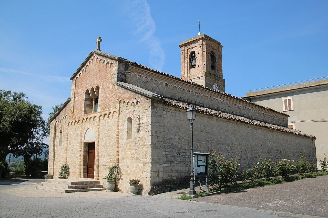
Civitaquana (Cetacquàne in dialect) stands on a hill between the Nora and Pescara valleys. The village was founded in the 11th century and belonged to the diocese of Penne until the unification of Italy; at the end of the 11th century its territory included the castle of Sculcola, disputed between the counts of Chieti and the bishops of Penne and Chieti, probably at today’s hamlet of Colle Scurcola.
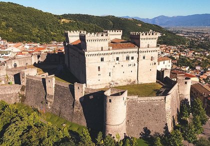
The church of Santa Maria delle Grazie, a national monument: built in the 12th century and freed of its Baroque additions in the 1930s, it has three naves with three apses, a façade marked by pilasters in the Lombard Romanesque style, a portal between two Romanesque columns and, inside, cross vaults and a fresco of Christ Pantocrator. In the centre, the 18th-century Palazzo Leognani Castriota - Leognani Fieramosca.
Municipality of Civitaquana: 085 848219 · www.comune.civitaquana.pe.it
🔎 Search all of Abruzzo · Data checked on Google Maps, Tripadvisor and the businesses’ websites.
Catignano 365 m · province of Pescara
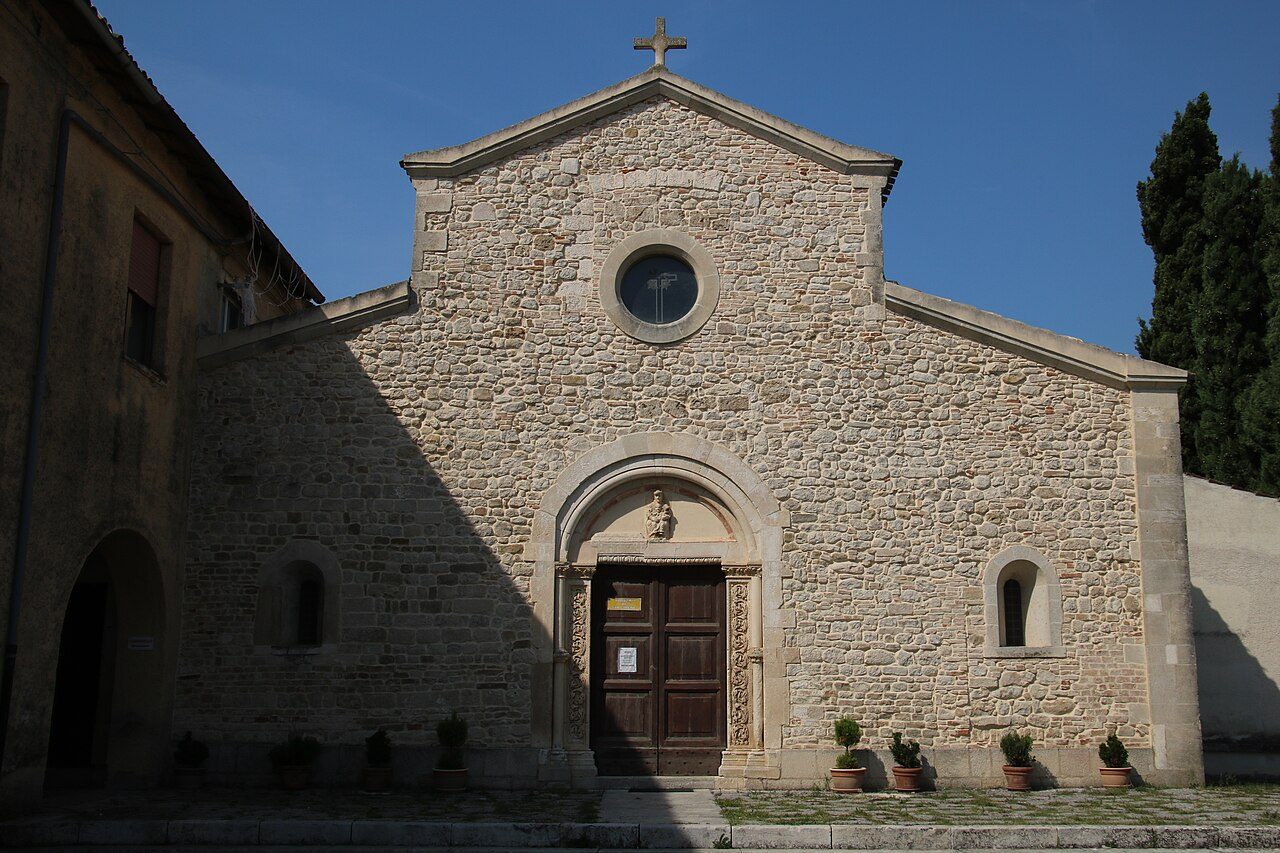
Catignano lies on the hills above the Nora valley, along the SS602 Forca di Penne road. At Ponte Rosso, excavations since the 1960s have uncovered a Neolithic village of the 6th-5th millennium BC, with huts, pits, burials and painted pottery. According to tradition the town stands on the ruins of Cutina, a Vestini town which, according to Livy, long resisted the Romans. In the Middle Ages it passed from the bishop of Penne to the abbey of Carpineto, then to the Camponeschi of L’Aquila and from 1469 to the D’Afflitto; from 1811 to 1817 it was the seat of a justice of the peace.
The convent of Sant’Irene, in the Cappuccini district: the church, built by the Benedictines in the 11th-12th century and recorded in 1090 as the parish church of Santa Maria di Cateniano, is a fine example of Abruzzo Romanesque, with a gabled façade, rose window, three apses and a separate bell gable. In the village, the parish church of San Giovanni Battista, with its façade of 1795 and a vault frescoed with the life of the saint; remains of the castle’s sloping walls along via del Castello.
Municipality of Catignano: 085 841403 · comune.catignano.pe.it
🔎 Search all of Abruzzo · Data checked on Google Maps, Tripadvisor and the businesses’ websites.
Nocciano 301 m · province of Pescara
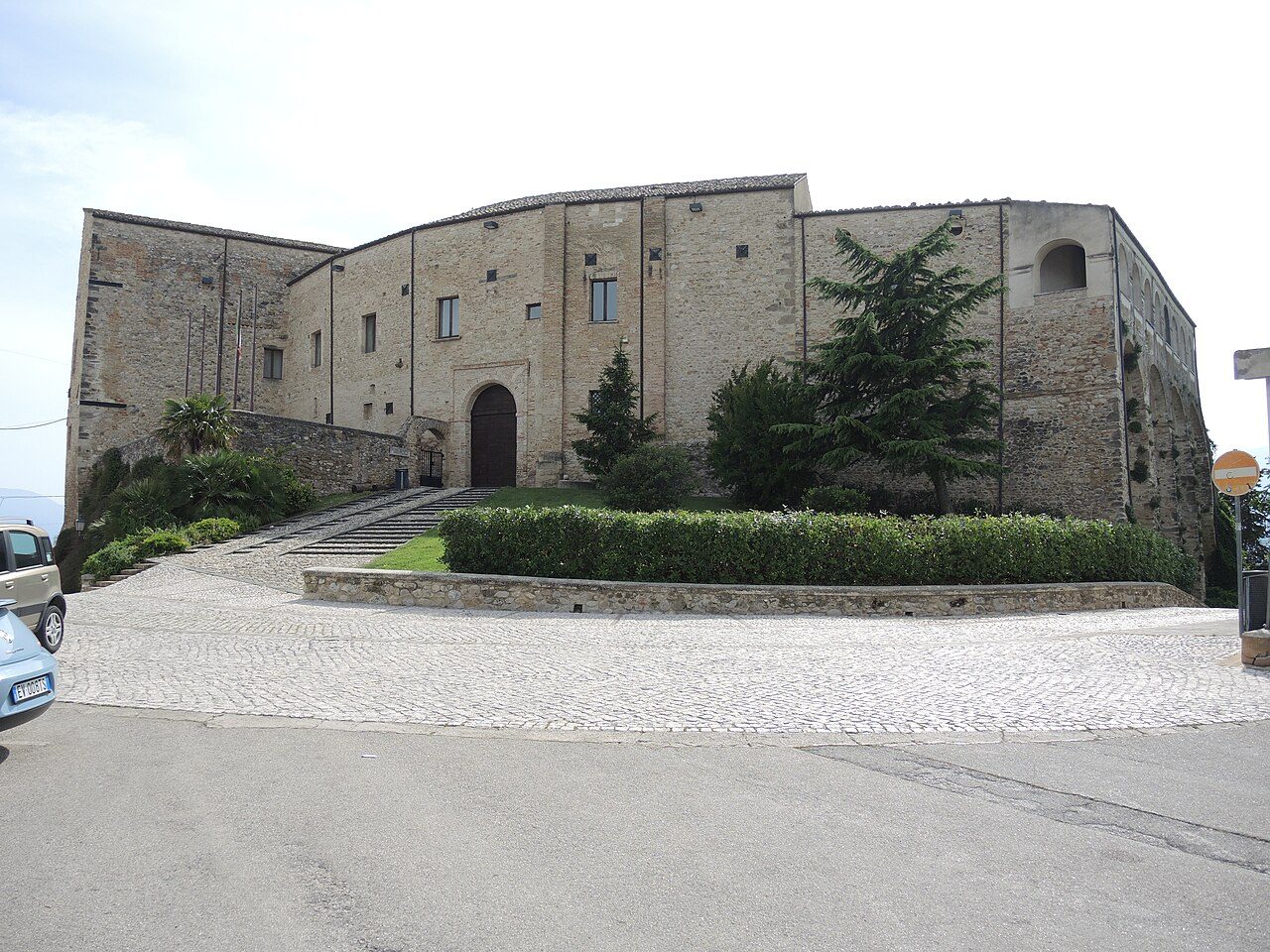
Nocciano stands on a hill between the Nora river and the Cigno stream, towards Pescara. The area was inhabited by the Vestini and in Roman times was the site of Follonica: in 1994 the remains of a Roman villa with mosaic floors came to light. The name is said to come from a walnut-shaped hill (nux), and indeed a walnut is on the coat of arms. Around the year 1000 the Torrione, core of the castle, was built; in 1078 the village is listed among the possessions of San Clemente a Casauria, and from 1670 it was a fief of the Aliprandi, nobles of Milanese origin.
The De Sterlich-Aliprandi castle, elliptical in plan with a loggia and a crenellated inner courtyard, now home to the Museo delle Arti d’Abruzzo, with a Roman sarcophagus in the entrance hall. Next to it, the Baroque mother church of Sant’Antonio di Padova, with wooden furnishings by Modesto Salvini (1796); outside the centre, the church of San Lorenzo (13th century) with fragments of 14th-century frescoes, the chapel of San Rocco and, in the Casali district, the Madonna delle Grazie of Romanesque origin.
Municipality of Nocciano: 085 847135 · www.comune.nocciano.pe.it
🔎 Search all of Abruzzo · Data checked on Google Maps, Tripadvisor and the businesses’ websites.
Pietranico 590 m · province of Pescara
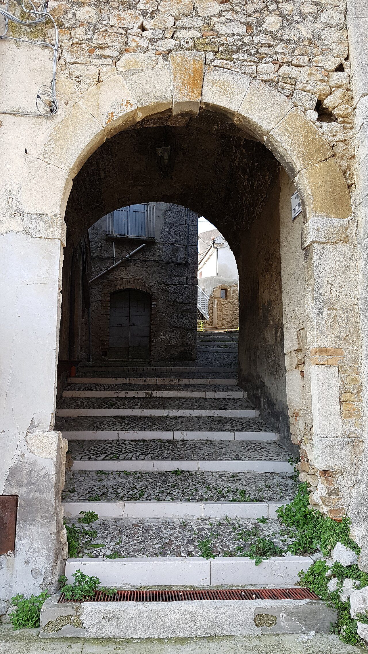
Pietranico was born as a farm of the abbey of San Clemente a Casauria: in 985 abbot Adamo turned it into a castle and gathered the people of the nearby villages there, and a street near piazza del Colle still bears his name. The castle stood on the Pietra di Castello, a huge boulder that gave the name Petra Iniqua; it was demolished during the Fascist years. The old village keeps its radial plan below the rock, narrow lanes (the «rughelle»), walls and the Porta della Terra; family coats of arms remain over the house doors.
The parish church of San Michele e Santa Giusta, rebuilt after the earthquakes of 1915 and 1933 in a neo-Romanesque style inspired by the churches of Lucca, next to the round tower of the old castle; just outside the village, the oratory of Santa Maria della Croce (17th century), a rare frescoed Baroque church in the Pescara area, painted by the Castelli brothers of Santo Stefano di Sessanio; in the countryside, the old palmenti, grape-pressing basins carved into the rock.
Municipality of Pietranico: 085 8884795 · www.comune.pietranico.pe.it
🔎 Search all of Abruzzo · Data checked on Google Maps, Tripadvisor and the businesses’ websites.
Corvara 625 m · province of Pescara
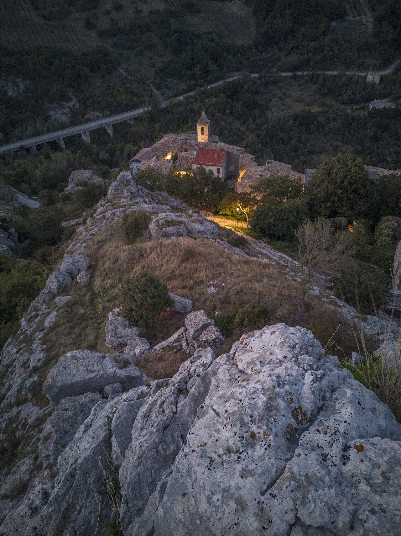
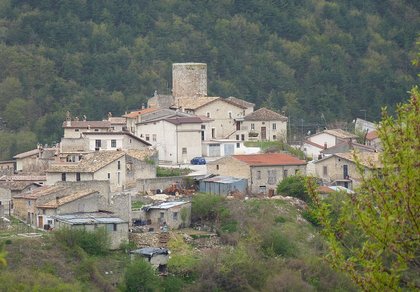
Corvara lies at about 600 metres at the foot of Monte Aquileo («la Queglia»), on the edge of the Gran Sasso and Monti della Laga National Park. The Castrum Corbarie is recorded in the 12th century in the Chronicon Casauriense, when it was bought by the abbey of San Clemente a Casauria; it later belonged to the Cantelmo and from the 16th century to the D’Afflitto. In 1956 the historic centre was declared at risk of landslide and abandoned; since the late 1990s it has been habitable again and is the subject of a restoration project. The film Omicidio all’italiana was shot here.
The old village, built on the rocks, with stone houses called «pagliare», a 12th-century Romanesque portal on one façade and, at the top of via Parrocchia, the bell tower of Sant’Andrea (14th century) with its pyramid spire, all that remains of the church destroyed by the 1933 earthquake; below the village, the church of Santa Maria delle Grazie e Sant’Andrea, with its tufa façade and statue of the Virgin.
Municipality of Corvara: 085 8889104 · www.comune.corvara.pe.it
🔎 Search all of Abruzzo · Data checked on Google Maps, Tripadvisor and the businesses’ websites.
The hills between the Nora and the Pescara are olive oil country: this is where Aprutino Pescarese DOP is made; Catignano has an oil mill. The vineyards give Montepulciano d’Abruzzo, with wineries in Nocciano (Casali district), Catignano and Pietranico. In nearby Farindola they make Farindola pecorino.
Abruzzo recipes are on our typical cuisine page.
From Pescara the SS602 Forca di Penne road runs up the Nora valley below Nocciano and Catignano; from there provincial roads climb to Civitaquana and Brittoli. Pietranico and Corvara are reached from the A25 motorway, exiting at Scafa-Alanno or Torre de’ Passeri-Castiglione a Casauria and driving up the hills north of the Pescara valley.
Pescara and the sea are about half an hour from Nocciano and Catignano, just under an hour from Brittoli. Forecast: Abruzzo weather.
In small villages, bars, shops and farm stays keep shorter hours out of season: call before you go.
Brittoli, at 779 m, is best visited from June to September for hiking and trails and all year round for the historic centre.
Civitaquana, at 550 m, is best visited all year round for the historic centre and in spring and autumn for the mild weather.
Catignano, at 365 m, is best visited all year round for the historic centre and in October and November for the olive harvest and new oil at the mills.
Nocciano, at 301 m, is best visited all year round for the historic centre, in October and November for the olive harvest and new oil at the mills and in September and October for the grape harvest and winery visits.
Pietranico, at 590 m, is best visited all year round for the historic centre and in September and October for the grape harvest and winery visits.
Corvara, at 625 m, is best visited from June to September for hiking and trails and all year round for the historic centre.
Brittoli, Civitaquana, Catignano, Nocciano, Pietranico and Corvara, each with hamlets, sights, forecast and businesses. The nearby towns have their own page: Penne, Loreto Aprutino, Civitella Casanova and Pianella.
The De Sterlich-Aliprandi castle houses the Museo delle Arti d’Abruzzo: ask the Municipality of Nocciano for opening hours; the number is in the Nocciano section.
In the «Where to eat, sleep and what to find» box in each village’s section: restaurants, hotels, B&Bs, bars, local produce shops, churches, monuments, huts and tourist offices, with a Google Maps link. All villages are also in the search by category.

Rocca di Mezzo, Rocca di Cambio, Rovere, Terranera, Ovindoli

The Medieval Villages of the Gran Sasso, with their castles, towers, and ancient settlements that once dominated Abruzzo

The village of Cappadocia, in the western part of the Aquilan Abruzzo

The village of Casamaina, a favourite among skiers heading to Campo Felice or Ovindoli

The village of Castel del Monte, the highest settlement in the Gran Sasso area

The village of Civitella Alfedena, in the Abruzzo, Lazio and Molise National Park

Mountaineering on the Gran Sasso, the ideal place for freeride lovers seeking demanding routes

The city of L'Aquila, with its restored Renaissance palaces, a place rich in culture

The 2012 snowfall in L'Aquila brought over one metre of snow in 24 hours — unbelievable images

The village of Pescasseroli, heart of the Abruzzo, Lazio and Molise National Park

The village of Pietracamela, on the north-eastern side of the Gran Sasso, at the foot of Corno Piccolo — a magical and unexpected place

Prati di Tivo, a winter ski resort offering breathtaking views to all who visit

San Domenico and the Serpari ritual, held every first Thursday of May

The 2012 snowfall in Scoppito reached nearly two metres in height

The village of Opi, a splendid settlement in the Abruzzo, Lazio and Molise National Park





Punta Aderci, with the Abruzzese trabocchi stretching from Vasto through Fossacesia to San Vito Chietino


Lake Campotosto, nestled between the Gran Sasso and Monti della Laga ranges, within the national park of the same name

The Capodacqua reservoir, with submerged mills and crystal-clear waters, a paradise for divers

The swimming lake of Scanno, named after the village overlooking it — a place worth visiting

Lake Sinizzo, just a few kilometres from San Demetrio, is the ideal place for nature lovers seeking fresh, clear waters

Lake San Domenico, named after the nearby hermitage; its crystal-clear waters make it unique. Swimming not allowed

The Fountain of the 99 Spouts, a symbol of the city of L'Aquila

The Basilica of Santa Maria di Collemaggio, resting place of Pope Celestine V

The Sanctuary of Madonna d'Appari, set among the rocks along the road between Paganica and Assergi

The Church of San Panfilo, in the municipality of Tornimparte, with its frescoes — a place worth visiting

The Stiffe Caves, inside the Velino-Sirente Regional Park — a magical place to explore
The most popular ski resorts, the updated snow report and useful information on how to find lifts or book accommodation for your winter holiday
Vai
View the webcams in Abruzzo and check real‑time weather conditions. Some webcams belong to www.abruzzoparchi.it, others are located throughout the region
Vai
Weather forecasts for the coming days in Abruzzo. Live weather via our webcams and temperatures recorded in several mountain areas
Vai
Maps for trekking, mountain biking, ski touring, running and horse riding. You can also download the GPX track of each route
Vai
Walks, diving, climbing, mountain biking, horse riding — all outdoor activities available in Abruzzo
Vai
Choose between sea or mountains, summer or winter, a sporty holiday or a relaxing one — Abruzzo has it all
Vai
Abruzzo is famous for its cuisine, both mountain and coastal, with traditions that vary from area to area
Vai
Abruzzo’s villages are famous for their fortresses, mountains and the traditional trabocchi along the southern coast
Vai
One of Italy’s most famous and oldest national parks
Vai
One of Italy’s wildest parks, with typical Apennine landscapes and Dolomite‑like peaks
Vai
Located in the heart of the Apennines, home to the beautiful villages of the Rocche Plateau
Vai
One of the snowiest places in Italy, a unique mountain massif rising close to the sea
Vai