
Skiing in Abruzzo – snow report
The most popular ski resorts, the updated snow report and useful information on how to find lifts or book accommodation for your winter holiday


Tornimparte is a scattered municipality: twenty-four hamlets on the hills west of L’Aquila, between 800 and 1,000 metres, below Monte Cava. Its motorway exit is called Tornimparte-Campo Felice: from here the road climbs to the Chiesola pass and the slopes.
The most popular ski resorts, the updated snow report and useful information on how to find lifts or book accommodation for your winter holiday

View the webcams in Abruzzo and check real‑time weather conditions. Some webcams belong to www.abruzzoparchi.it, others are located throughout the region

Weather forecasts for the coming days in Abruzzo. Live weather via our webcams and temperatures recorded in several mountain areas
Maps for trekking, mountain biking, ski touring, running and horse riding. You can also download the GPX track of each route
Abruzzo’s villages are famous for their fortresses, mountains and the traditional trabocchi along the southern coast
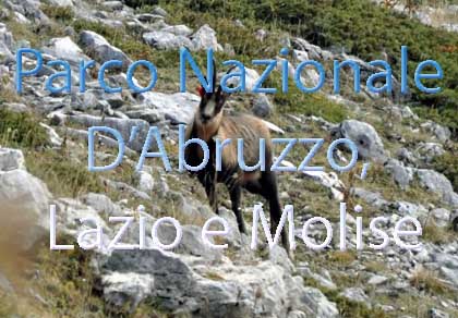
One of Italy’s most famous and oldest national parks
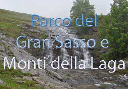
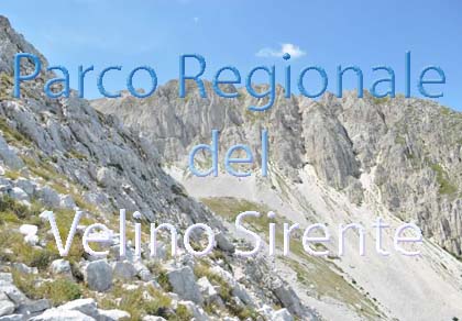
Located in the heart of the Apennines, home to the beautiful villages of the Rocche Plateau
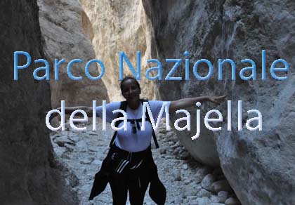
One of the snowiest places in Italy, a unique mountain massif rising close to the sea
Choose between sea or mountains, summer or winter, a sporty holiday or a relaxing one — Abruzzo has it all

Abruzzo is famous for its cuisine, both mountain and coastal, with traditions that vary from area to area
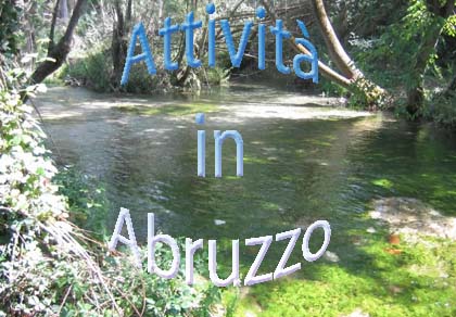
Walks, diving, climbing, mountain biking, horse riding — all outdoor activities available in Abruzzo
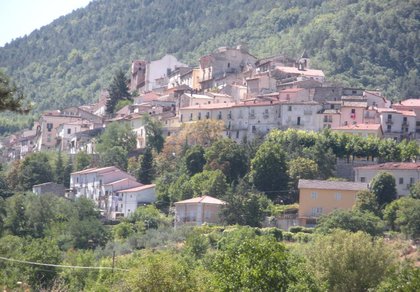
Twenty-four hamlets and about three thousand people, an 11th-century church frescoed by Saturnino Gatti, ruined medieval castles, beech and chestnut woods up to the two thousand metres of Monte Cava. From the A24 exit to the Campo Felice slopes it takes about twenty minutes.
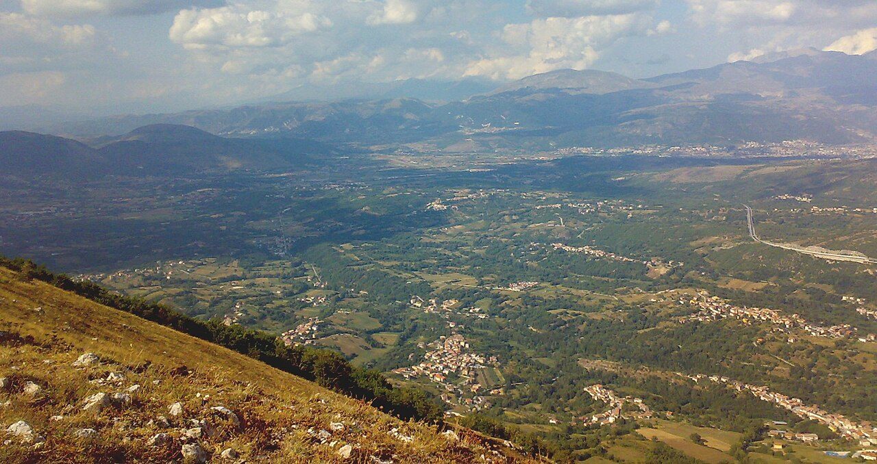
The municipality has no single centre: the town hall is in Villagrande, and the hamlets are spread over the hills of the Raio valley.
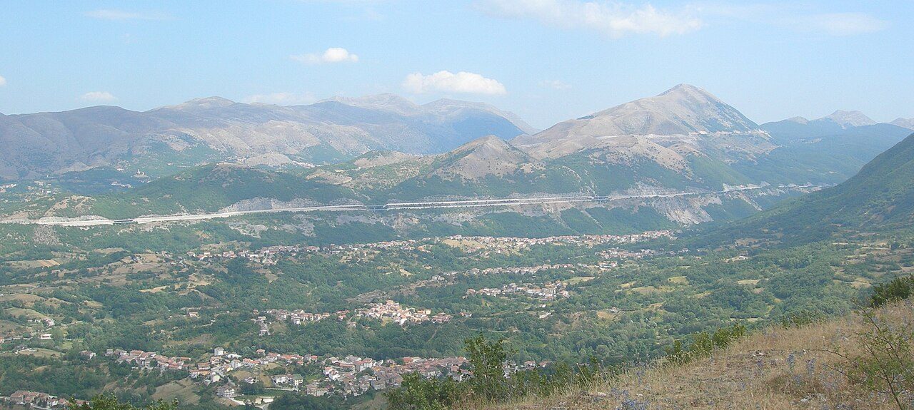
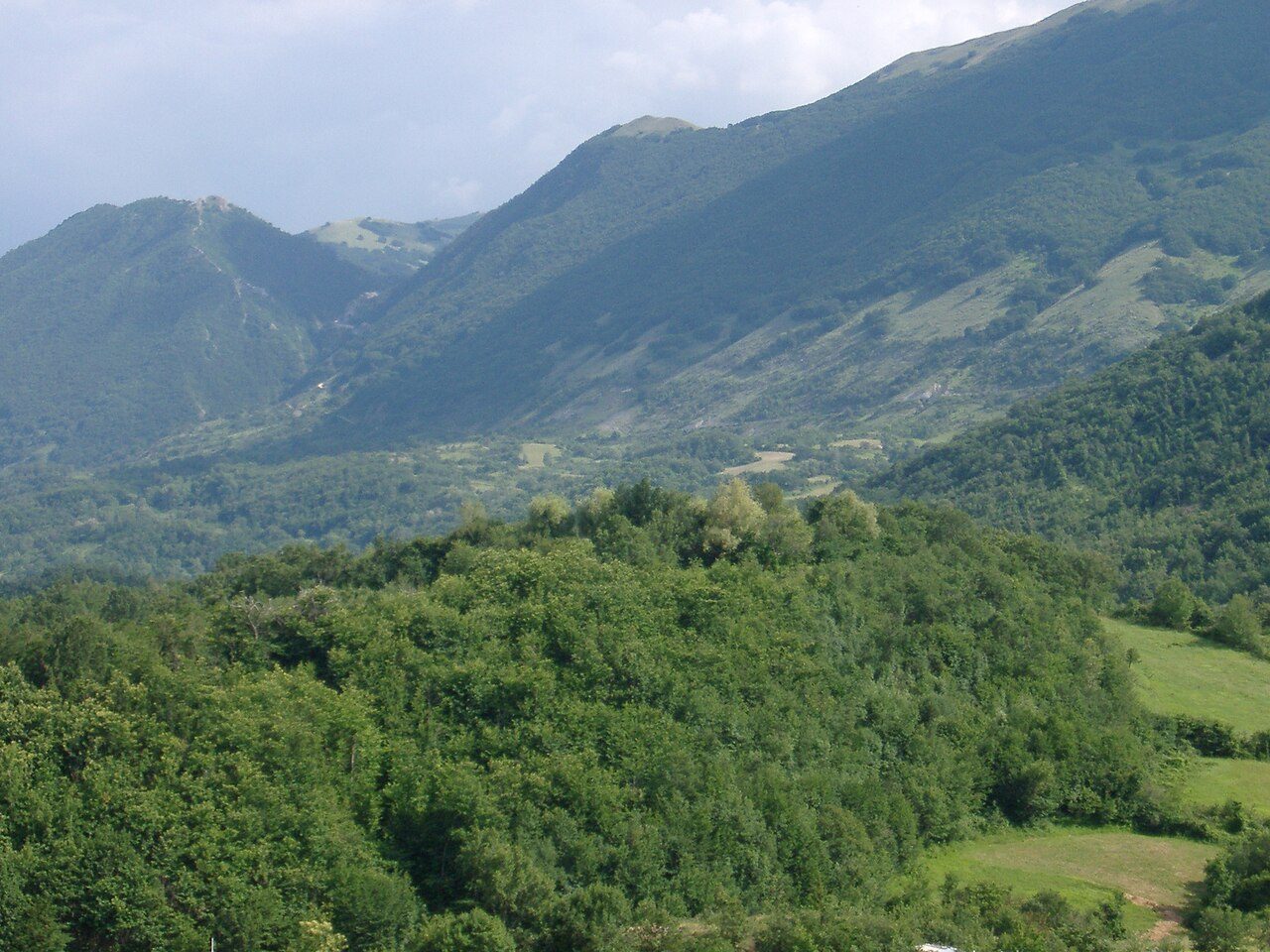
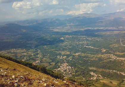
Tornimparte fills the south-western corner of the L’Aquila basin. The inhabited part is rolling country at about 830 metres, cut by the Raio river and its streams: on almost every hill between two little valleys there is a hamlet. To the west rise the ridges of Monte Ruella (1,540 m), La Piaggia (1,637 m) and La Serra (1,599 m); to the south the mountain climbs to the Monte San Rocco and Monte Cava group (2,000 m), the watershed with the Cicolano in Lazio, and towards the Campo Felice plain.
The name probably comes from the Latin Turres in Partibus, «towers in various places»: castles and strongholds guarded the road between L’Aquila, the Cicolano and the Kingdom of Naples. The area was Sabine, then Roman and Lombard (gastaldate of Forcona), later a fief of the Angevins and the Barberini. Tornimparte took part in the founding of L’Aquila in the 13th century: the church of San Vito alla Rivera in the city recalls it. The 2009 earthquake, although its epicentre was only a few kilometres away, caused relatively little damage here.
The municipality was once divided into four «thirds»; today there are twenty-four hamlets. Here they all are, grouped as they used to be.
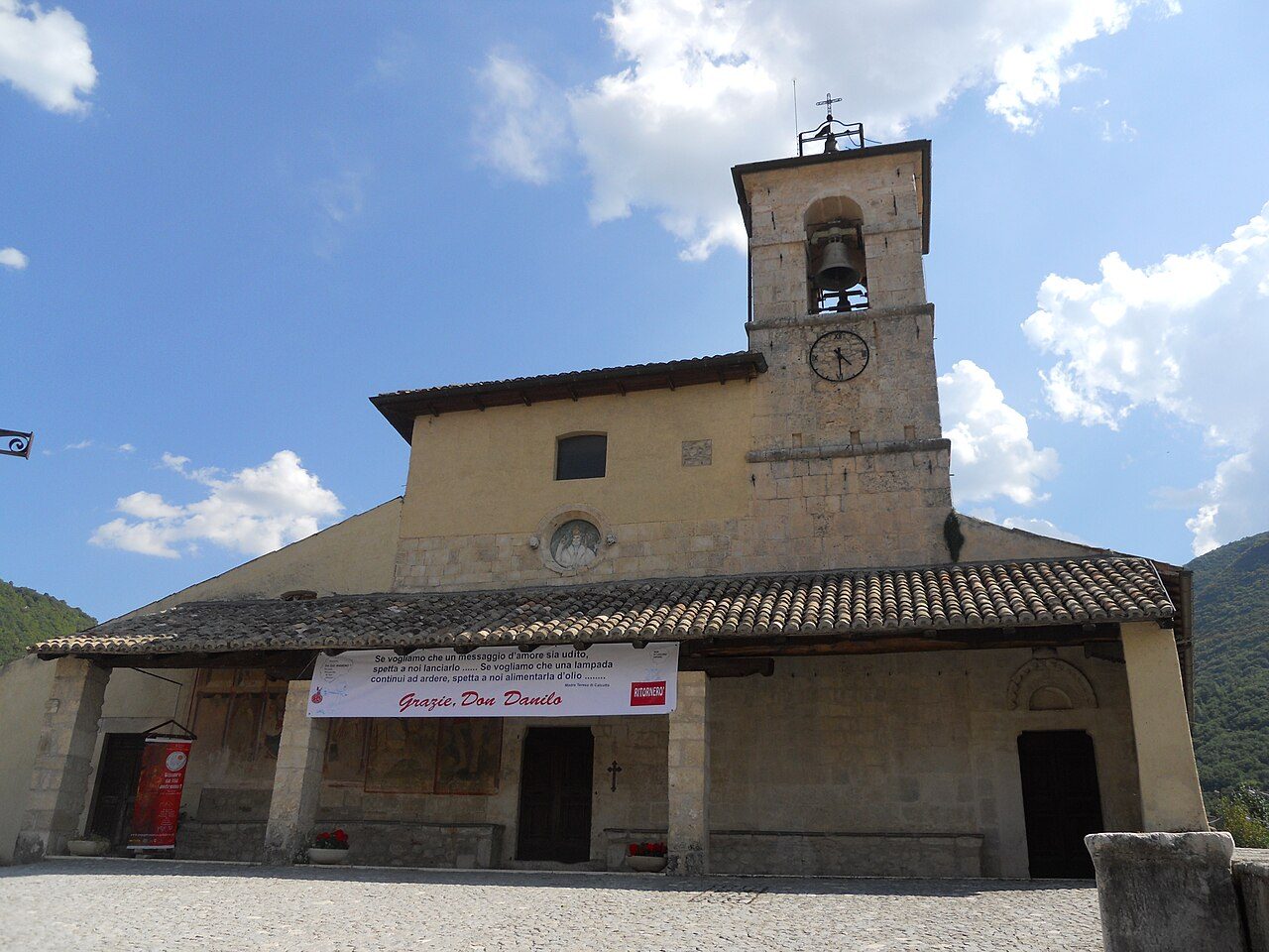
Villagrande, seat of the municipality, with the church of San Panfilo and the municipal theatre; Capo La Villa, with the Capu Acqua spring; Case Tirante; Piedi la Villa; Piagge.
Colle San Vito, with the church of San Vito; Pianelle; Colle Santa Maria, with the church of the Madonna della Vittoria; Barano, with the ruins of Santa Maria Abbarano; Viaro.
San Nicola; Pié la Costa; Colle Massimo; Colle Perdonesco; Molino Salomone, on the Raio river.
Rocca Santo Stefano, with the ruins of the castle and the church of Santo Stefano; Forcelle; Colle Marino; Colle Farnio; Colle Fiascone; Colle Farelli.
Palombaia, near the motorway exit, with the secondary school and the sports centre; Castiglione, the highest hamlet, below Sant’Angelo castle and towards the Castiglione plain; Madonna della Strada, shared with the municipality of Scoppito.
The businesses of all the hamlets (restaurants, bars, holiday homes, shops, churches and monuments) are in the list under Where to eat and stay, each with its position on the map.
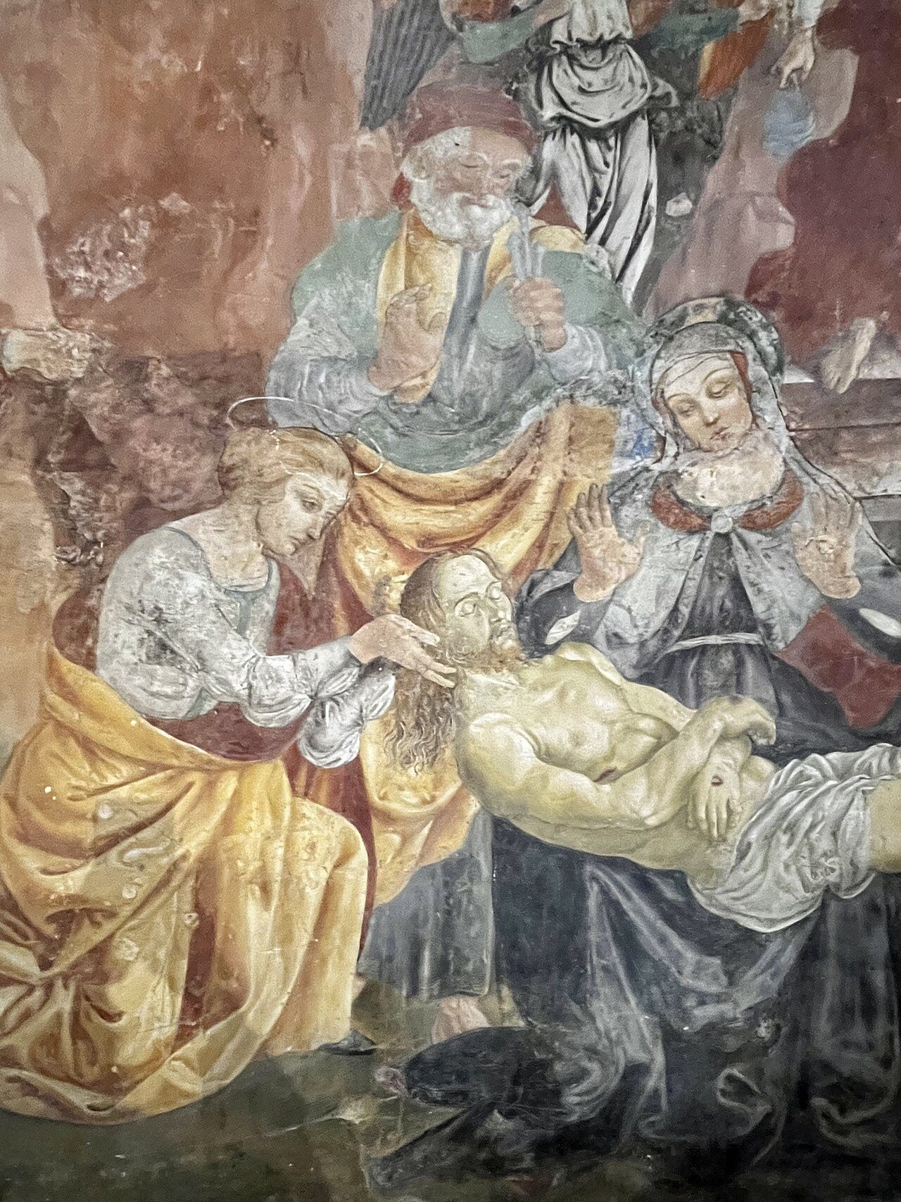
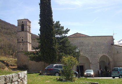
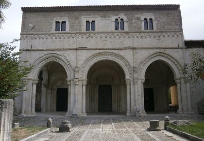
It is the most important monument in Tornimparte. Its first core dates from around the year 1000; the four-aisled plan is rare and mixes Romanesque and baroque forms. Inside are the frescoes painted between 1490 and 1494 by Saturnino Gatti, the leading Renaissance painter of L’Aquila, including the Lamentation over the Dead Christ.
It stands on a rise between Colle Marino, Rocca Santo Stefano and Forcelle and is already mentioned in 1178, in the bull of Pope Alexander III to the bishop of Forcona. The 1985 earthquake brought down the roof and the bell tower; it was restored and reopened at the end of 2011.
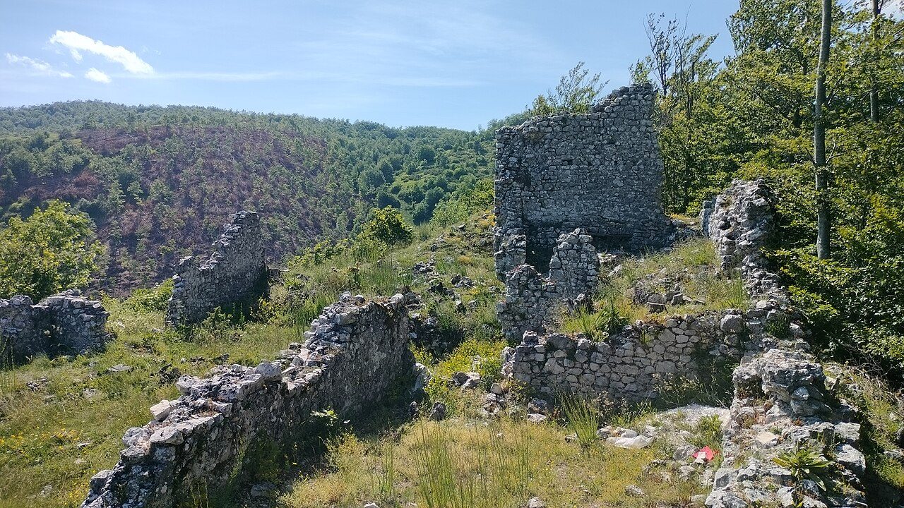
Above Castiglione stand the ruins of Sant’Angelo castle, known as «ju Castellacciu», of early medieval origin; in Rocca Santo Stefano those of the stronghold. In the countryside are the remains of the rural church of Santa Cecilia, in use in the 15th century, and of Santa Maria Abbarano near Barano. Other churches are in the hamlets of Colle San Vito, Barano, San Nicola, Pié la Costa, Piedi la Villa, Case Tirante, Capo La Villa and Forcelle.
The A24 exit is called Tornimparte-Campo Felice: from here the Sirente-Velino Park road climbs to the Chiesola pass and drops onto the plain of the slopes.

Anyone driving from Rome to ski at Campo Felice almost always leaves the motorway at Tornimparte. From the junction the SS696 climbs through the woods to the Chiesola pass (1,633 m) and drops onto the plain, at about 1,400 metres, where the lifts start: from Villagrande it is about 18 km and twenty minutes. By bike it is a classic climb: 10.9 km at an average gradient of 6%, about 650 metres of ascent. The other road to the plain goes through Lucoli and Casamaina.
The hamlets of Tornimparte are the handiest base for those driving from Rome: they are right by the motorway and twenty minutes from the slopes, and in the evening pizzerias, bars and shops are open. Holiday homes, farm stays and restaurants are listed under Where to eat and stay; those on the plain and in the nearby villages are on the Campo Felice page.
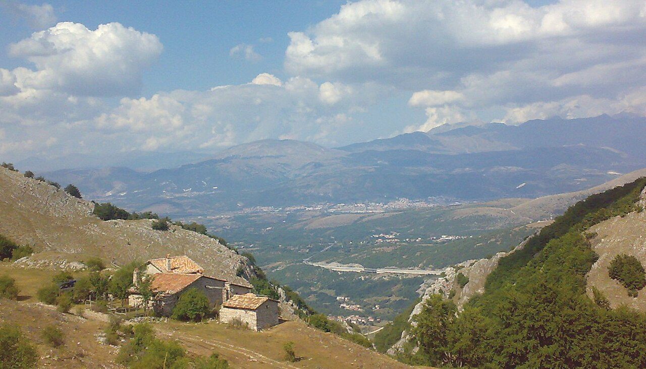

Above the hamlets are beech and chestnut woods: the Cerasuolo-San Giovanni wood, the wood and gorge of Ruella with its farmhouses, the chestnut grove of the Raio valley. Higher up open the Castiglione plain and the meadows of Monte San Rocco and Monte Cava. The best-known trail leads to the Vaccamorta Caves and Monte Cava: we have the story, the photos and the GPX track; in winter the same woods are perfect for snowshoeing.
For a picnic there are the Forca di Castiglione, with barbecues, the Prata di San Lorenzo, a few kilometres from the Castiglione plain, and the Capu Acqua spring near Capo La Villa. Before going up high in winter, always check the Meteomont avalanche bulletin.
On the first of May, in several squares of the hamlets, ju calenne is raised: a trunk cut in the woods and planted as a wish for good harvests, a very old rite named after the Roman calends, interrupted after the First World War and revived in the 1960s. On 15 October Villagrande holds the Antica Fiera, the old fair of animals and goods, exactly one month after the feast of Our Lady of Sorrows. Until the 1970s charcoal was made in the beech woods in charcoal pits, called ju catozzu here. Dates and programmes change every year: check the municipality’s website.
The village dish is ji cauciuni di Tornimparte, savoury parcels of cheese and pork eaten after Lent. Otherwise the cooking is that of the L’Aquila mountains: arrosticini, pecora alla callara (mutton stewed in a copper pot), fettuccine with mushrooms, cheeses from the local dairies and L’Aquila saffron. More products in The flavours of the parks, all the recipes in Abruzzo traditional cooking.
Restaurants, bars, holiday homes, farm stays, shops, dairies, churches and monuments in all the hamlets: open the list.
🔎 Search all of Abruzzo · Data checked on Google Maps, Tripadvisor and the businesses’ websites.
From Rome: A24 motorway, Tornimparte-Campo Felice exit, about an hour and a quarter; the hamlets are right after the junction. From L’Aquila: about 20 km, by motorway to the Tornimparte exit or along the Sassa road. To Campo Felice: from the junction, the SS696 to the Chiesola pass and the plain. By train the nearest station is Sassa-Tornimparte, on the Terni-L’Aquila-Sulmona line, in the municipality of L’Aquila. Getting around Abruzzo.
Tornimparte, at 830 m, is best visited in winter for skiing at Campo Felice, from June to September for hiking and trails and in autumn for the colours of the woods.
From Villagrande, seat of the municipality, the Campo Felice slopes are about 18 km away, around twenty minutes: from the A24 Tornimparte-Campo Felice junction the SS696 climbs to the Chiesola pass (1,633 m) and drops onto the plain. Everything is in the Campo Felice section.
There are twenty-four: Villagrande (seat of the municipality), Barano, Capo La Villa, Case Tirante, Castiglione, Colle Farelli, Colle Farnio, Colle Fiascone, Colle Marino, Colle Massimo, Colle Perdonesco, Colle Santa Maria, Colle San Vito, Forcelle, Madonna della Strada (shared with Scoppito), Molino Salomone, Palombaia, Piagge, Pianelle, Pié la Costa, Piedi la Villa, Rocca Santo Stefano, San Nicola and Viaro. They are in the The 24 hamlets section.
In the «Where to eat, sleep and what to find» box on this page: restaurants, hotels, B&Bs, bars, local produce shops, churches, monuments, huts and tourist offices, with a Google Maps link. All villages are also in the search by category.

Rocca di Mezzo, Rocca di Cambio, Rovere, Terranera, Ovindoli

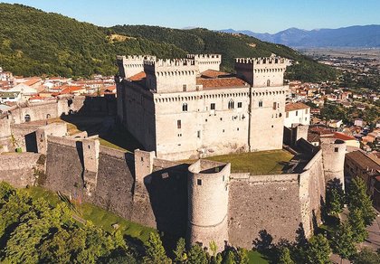
The Medieval Villages of the Gran Sasso, with their castles, towers, and ancient settlements that once dominated Abruzzo

The village of Cappadocia, in the western part of the Aquilan Abruzzo

The village of Casamaina, a favourite among skiers heading to Campo Felice or Ovindoli

The village of Castel del Monte, the highest settlement in the Gran Sasso area

The village of Civitella Alfedena, in the Abruzzo, Lazio and Molise National Park

Mountaineering on the Gran Sasso, the ideal place for freeride lovers seeking demanding routes

The city of L'Aquila, with its restored Renaissance palaces, a place rich in culture

The 2012 snowfall in L'Aquila brought over one metre of snow in 24 hours — unbelievable images

The village of Pescasseroli, heart of the Abruzzo, Lazio and Molise National Park

The village of Pietracamela, on the north-eastern side of the Gran Sasso, at the foot of Corno Piccolo — a magical and unexpected place

Prati di Tivo, a winter ski resort offering breathtaking views to all who visit

San Domenico and the Serpari ritual, held every first Thursday of May

The 2012 snowfall in Scoppito reached nearly two metres in height

The village of Opi, a splendid settlement in the Abruzzo, Lazio and Molise National Park









Punta Aderci, with the Abruzzese trabocchi stretching from Vasto through Fossacesia to San Vito Chietino


Lake Campotosto, nestled between the Gran Sasso and Monti della Laga ranges, within the national park of the same name

The Capodacqua reservoir, with submerged mills and crystal-clear waters, a paradise for divers

The swimming lake of Scanno, named after the village overlooking it — a place worth visiting

Lake Sinizzo, just a few kilometres from San Demetrio, is the ideal place for nature lovers seeking fresh, clear waters

Lake San Domenico, named after the nearby hermitage; its crystal-clear waters make it unique. Swimming not allowed

The Fountain of the 99 Spouts, a symbol of the city of L'Aquila

The Basilica of Santa Maria di Collemaggio, resting place of Pope Celestine V

The Sanctuary of Madonna d'Appari, set among the rocks along the road between Paganica and Assergi

The Church of San Panfilo, in the municipality of Tornimparte, with its frescoes — a place worth visiting

The Stiffe Caves, inside the Velino-Sirente Regional Park — a magical place to explore
The most popular ski resorts, the updated snow report and useful information on how to find lifts or book accommodation for your winter holiday
Vai
View the webcams in Abruzzo and check real‑time weather conditions. Some webcams belong to www.abruzzoparchi.it, others are located throughout the region
Vai
Weather forecasts for the coming days in Abruzzo. Live weather via our webcams and temperatures recorded in several mountain areas
Vai
Maps for trekking, mountain biking, ski touring, running and horse riding. You can also download the GPX track of each route
Vai
Walks, diving, climbing, mountain biking, horse riding — all outdoor activities available in Abruzzo
Vai
Choose between sea or mountains, summer or winter, a sporty holiday or a relaxing one — Abruzzo has it all
Vai
Abruzzo is famous for its cuisine, both mountain and coastal, with traditions that vary from area to area
Vai
Abruzzo’s villages are famous for their fortresses, mountains and the traditional trabocchi along the southern coast
Vai
One of Italy’s most famous and oldest national parks
Vai
One of Italy’s wildest parks, with typical Apennine landscapes and Dolomite‑like peaks
Vai
Located in the heart of the Apennines, home to the beautiful villages of the Rocche Plateau
Vai
One of the snowiest places in Italy, a unique mountain massif rising close to the sea
Vai