
Skiing in Abruzzo – snow report
The most popular ski resorts, the updated snow report and useful information on how to find lifts or book accommodation for your winter holiday


Lucoli is a municipality of scattered hamlets in a green valley south of L’Aquila, between 750 and 1,400 metres. The road up the valley leads to Casamaina and the Campo Felice plain: weekend skiers drive through here, and many of them stay the night.
The most popular ski resorts, the updated snow report and useful information on how to find lifts or book accommodation for your winter holiday

View the webcams in Abruzzo and check real‑time weather conditions. Some webcams belong to www.abruzzoparchi.it, others are located throughout the region

Weather forecasts for the coming days in Abruzzo. Live weather via our webcams and temperatures recorded in several mountain areas
Maps for trekking, mountain biking, ski touring, running and horse riding. You can also download the GPX track of each route
Abruzzo’s villages are famous for their fortresses, mountains and the traditional trabocchi along the southern coast
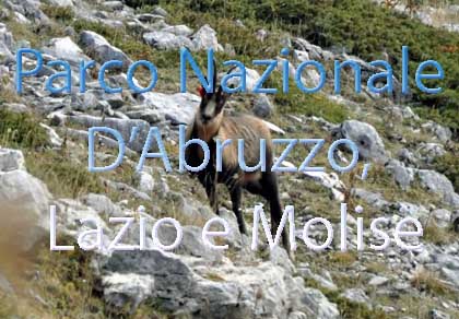
One of Italy’s most famous and oldest national parks
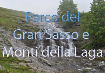
Located in the heart of the Apennines, home to the beautiful villages of the Rocche Plateau
One of the snowiest places in Italy, a unique mountain massif rising close to the sea
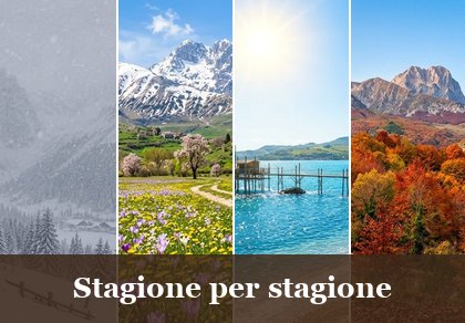
Choose between sea or mountains, summer or winter, a sporty holiday or a relaxing one — Abruzzo has it all

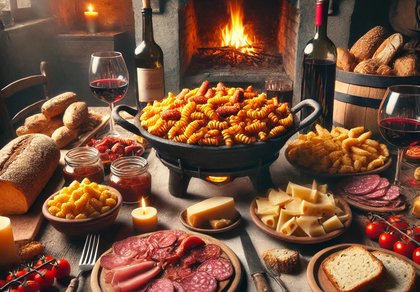
Abruzzo is famous for its cuisine, both mountain and coastal, with traditions that vary from area to area
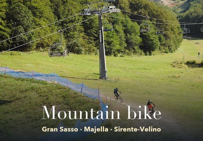
Walks, diving, climbing, mountain biking, horse riding — all outdoor activities available in Abruzzo
Eight hamlets and about eight hundred and fifty people, an 11th-century abbey, beech woods and mountains over two thousand metres. At the top of the valley is Casamaina, the last village before the slopes: Campo Felice is about ten minutes away.
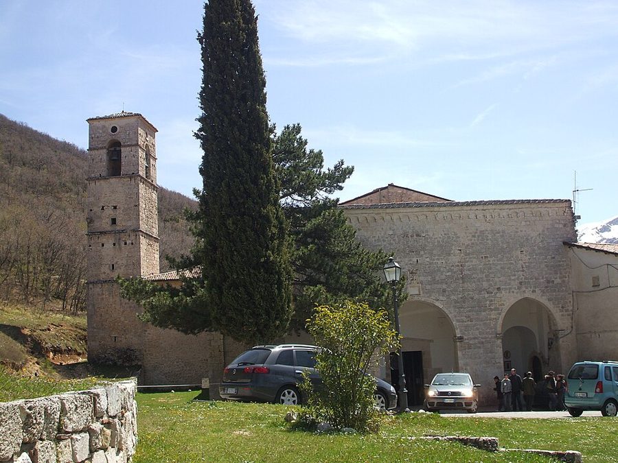
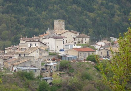
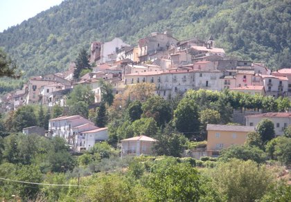
The municipality has no single centre: the town hall is in Collimento, and the houses are spread along the valley of the Rio stream.
Lucoli fills the valley of the Rio stream, enclosed between Monte Orsello and Monte Puzzillo on one side and Monte Ocre and Monte Cagno on the other. Its hamlets are Collimento, seat of the municipality, Lucoli Alto, San Giovanni, San Menna, Colle di Lucoli, Peschiolo, Casavecchia and, high up towards the slopes, Casamaina. Altitudes range from 750 metres on the valley floor to almost 1,400 in the upper part; above, the peaks rise over two thousand metres: Cefalone, Puzzillo, La Torricella. The area lies on the northern edge of the Sirente-Velino Regional Park, close to the Duchessa reserve and Monte Velino.
The name comes from the Latin luculus, «small sacred grove». Lucoli is mentioned in the Chronicon Farfense and in a bull of Pope Alexander III of 1178. It was a county of the Counts of the Marsi and took part in the founding of L’Aquila, where it built its own quarter, San Giovanni di Lucoli; it later passed to the Ossorio, the Colonna and the Barberini. In 1927 it was merged into L’Aquila with seven other municipalities; in 1947 it became independent again, the only one of them.
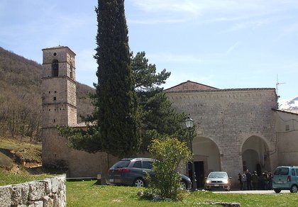
Founded in the 11th century, it is the most important monument in the valley and gives its name to the hamlet of San Giovanni. After the 1703 earthquake it was rebuilt in baroque style; the bell tower and the cloister with its portico keep the look of the old monastery. Inside are baroque altars, 15th-century paintings of the L’Aquila school and an old organ in the choir loft above the entrance.
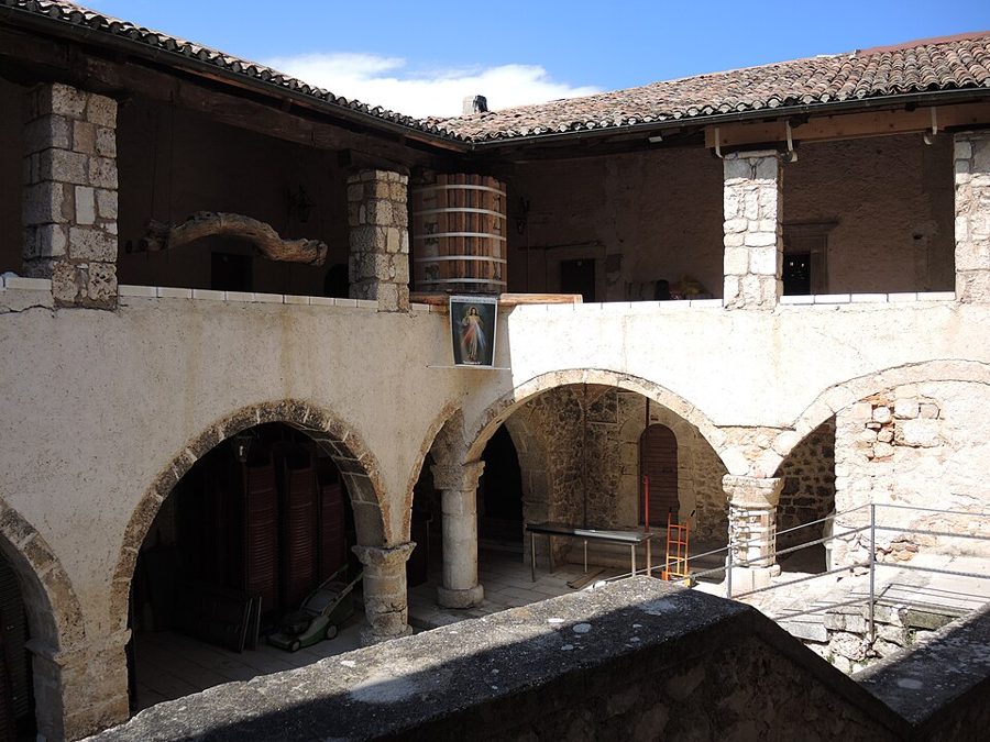
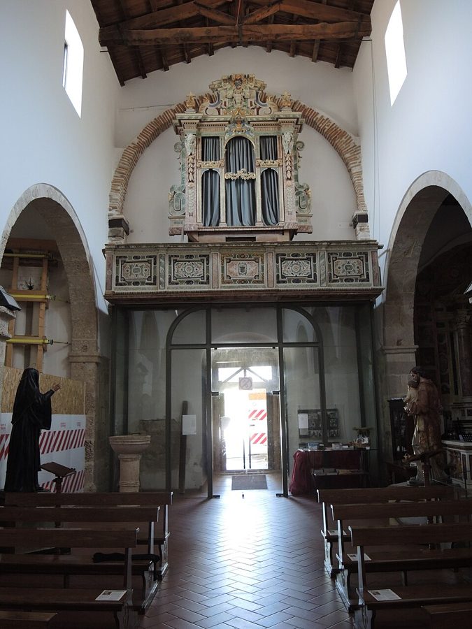
San Sebastiano in Collimento dates from the 15th and 16th centuries. San Menna, in the hamlet of the same name, is one of the oldest churches in the valley, built with Roman-era materials. In Lucoli Alto are San Michele Arcangelo and Sant’Andrea; then Santa Croce, San Lorenzo and San Giorgio. Above San Giovanni, in the woods, are the ruins of the hermitage of Sant’Onofrio. In Casamaina is the Lucoli Civic Museum, next to the church of San Luca.
Most of the Campo Felice plain lies in the municipality of Lucoli: the road up the valley leads straight to the lifts.

From Rome and L’Aquila the shortest way to the Campo Felice slopes goes through Lucoli: A24 Tornimparte exit, then the Lucoli road up to Casamaina and the plain, at about 1,400 metres. The slopes are shared with Rocca di Cambio, on the side of the Altopiano delle Rocche. In winter there is downhill and cross-country skiing, ski touring and snowshoeing on the meadows around the plain; in summer the plain is a horse pasture and the starting point for Monte Orsello and Monte Velino.
Many weekend skiers sleep in the valley: the holiday homes, B&Bs and inns of Lucoli and Casamaina are a quarter of an hour from the lifts, cost less than the hotels up high and have restaurants and pizzerias open in the evening. The full list is below, in Where to eat and stay, and the Casamaina list in its own section. On the plain there are also the chalets and restaurants of Campo Felice, which belong to Rocca di Cambio: you will find them on the page of the Rocche villages.
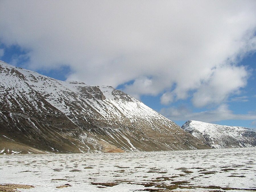
The highest hamlet of Lucoli, with its restored, colourful houses, a few minutes from the Campo Felice plain.

Casamaina is the last village on the way up to Campo Felice. In recent years almost all of it has been restored and it has become the favourite base for many skiers: the plain is just a few kilometres away. It has a hotel, holiday homes, restaurants, a pizzeria, a dairy with its shop and the Lucoli Civic Museum. Everything you need to know about Casamaina, from useful numbers to the route to the lifts, is in our Casamaina guide; the hamlet is also listed among the villages of the Altopiano delle Rocche.
🔎 Search all of Abruzzo · Data checked on Google Maps, Tripadvisor and the businesses’ websites.
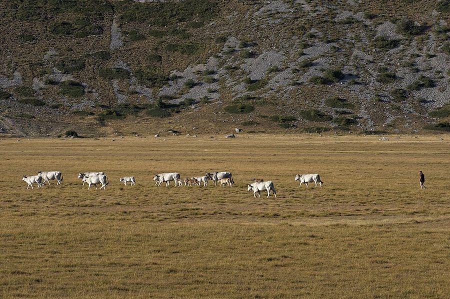
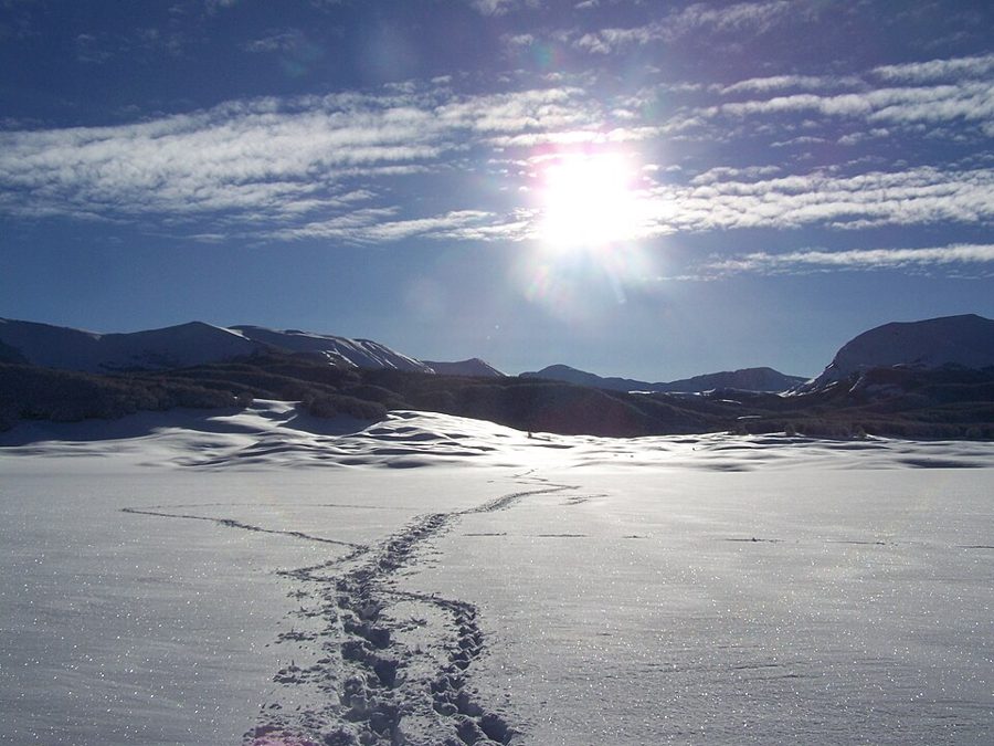
Beech woods on Monte Orsello, Puzzillo and Cerasolo cover the valley slopes; higher up are the meadows of Prato Capito and Prato Agabito, with its picnic area. The best-known trail climbs from the Campo Felice plain to Monte Orsello (2,043 m), about 530 metres of ascent and three and a half hours there and back. In the valley there are the unstaffed huts of Prato Capito and Campitello, used as resting points. More routes in the Sirente-Velino hiking guide and among the Velino GPX tracks; in winter, snowshoe walks. Before setting out always check the Meteomont avalanche bulletin.
The patron saint is San Giovanni Battista, celebrated on 24 June. In summer the Pro Loco organises festivals and evening events in the hamlets and at Campo Felice. Dates and programmes change every year: check the municipal website or the pages of the Pro Loco di Lucoli.
The valley eats the food of shepherds and woods: pecora alla callara (mutton stewed in a copper pot), arrosticini, fettuccine with mushrooms, sheep’s and cow’s cheeses from the local dairies. From the L’Aquila basin comes L’Aquila saffron. More products in Flavours of the parks, all the recipes in traditional Abruzzo cuisine.
Restaurants, pizzerias, holiday homes, shops, churches and mountain huts in the hamlets of Lucoli: open the list. Casamaina’s businesses are in its own section.
🔎 Search all of Abruzzo · Data checked on Google Maps, Tripadvisor and the businesses’ websites.
From Rome: A24 motorway, Tornimparte exit, then follow the signs for Lucoli and Campo Felice: Collimento is about 11 km from the exit. From L’Aquila: the Lucoli road, about 15 km to Collimento and another 7 to Casamaina. From the Adriatic: A25 motorway, Celano exit, then the road to Ovindoli and Rocca di Cambio and the Serralunga tunnel to the Campo Felice plain. By public transport you reach L’Aquila by train or bus; local buses and taxis serve the valley. Getting around Abruzzo.
Lucoli, at 956 m, is best visited from June to September for hiking and trails, in autumn for the colours of the woods and in winter for skiing at Campo Felice. From 15 November to 15 April winter tyres or snow chains on board are required.
Casamaina, at 1.363 m, is best visited in winter for skiing at Campo Felice, from June to September for hiking and trails and in autumn for the colours of the woods. From 15 November to 15 April winter tyres or snow chains on board are required.
From Collimento, seat of the municipality, the Campo Felice plain is about 13 km away; from Casamaina, the highest hamlet, just a few kilometres. It is the shortest way to the slopes from Rome (A24 Tornimparte exit) and from L’Aquila.
Yes: the holiday homes, B&Bs and inns of Lucoli and Casamaina are a quarter of an hour from the lifts, cost less than the hotels up high and have restaurants and pizzerias open in the evening. The list is in the «Where to eat and stay» and «Casamaina» sections.
In the «Where to eat, sleep and what to find» box in each village’s section: restaurants, hotels, B&Bs, bars, local produce shops, churches, monuments, huts and tourist offices, with a Google Maps link. All villages are also in the search by category.

Rocca di Mezzo, Rocca di Cambio, Rovere, Terranera, Ovindoli

The Medieval Villages of the Gran Sasso, with their castles, towers, and ancient settlements that once dominated Abruzzo

The village of Cappadocia, in the western part of the Aquilan Abruzzo

The village of Casamaina, a favourite among skiers heading to Campo Felice or Ovindoli

The village of Castel del Monte, the highest settlement in the Gran Sasso area

The village of Civitella Alfedena, in the Abruzzo, Lazio and Molise National Park

Mountaineering on the Gran Sasso, the ideal place for freeride lovers seeking demanding routes

The city of L'Aquila, with its restored Renaissance palaces, a place rich in culture

The 2012 snowfall in L'Aquila brought over one metre of snow in 24 hours — unbelievable images

The village of Pescasseroli, heart of the Abruzzo, Lazio and Molise National Park

The village of Pietracamela, on the north-eastern side of the Gran Sasso, at the foot of Corno Piccolo — a magical and unexpected place

Prati di Tivo, a winter ski resort offering breathtaking views to all who visit

San Domenico and the Serpari ritual, held every first Thursday of May

The 2012 snowfall in Scoppito reached nearly two metres in height

The village of Opi, a splendid settlement in the Abruzzo, Lazio and Molise National Park





Punta Aderci, with the Abruzzese trabocchi stretching from Vasto through Fossacesia to San Vito Chietino


Lake Campotosto, nestled between the Gran Sasso and Monti della Laga ranges, within the national park of the same name

The Capodacqua reservoir, with submerged mills and crystal-clear waters, a paradise for divers

The swimming lake of Scanno, named after the village overlooking it — a place worth visiting

Lake Sinizzo, just a few kilometres from San Demetrio, is the ideal place for nature lovers seeking fresh, clear waters

Lake San Domenico, named after the nearby hermitage; its crystal-clear waters make it unique. Swimming not allowed

The Fountain of the 99 Spouts, a symbol of the city of L'Aquila

The Basilica of Santa Maria di Collemaggio, resting place of Pope Celestine V

The Sanctuary of Madonna d'Appari, set among the rocks along the road between Paganica and Assergi

The Church of San Panfilo, in the municipality of Tornimparte, with its frescoes — a place worth visiting

The Stiffe Caves, inside the Velino-Sirente Regional Park — a magical place to explore
The most popular ski resorts, the updated snow report and useful information on how to find lifts or book accommodation for your winter holiday
Vai
View the webcams in Abruzzo and check real‑time weather conditions. Some webcams belong to www.abruzzoparchi.it, others are located throughout the region
Vai
Weather forecasts for the coming days in Abruzzo. Live weather via our webcams and temperatures recorded in several mountain areas
Vai
Maps for trekking, mountain biking, ski touring, running and horse riding. You can also download the GPX track of each route
Vai
Walks, diving, climbing, mountain biking, horse riding — all outdoor activities available in Abruzzo
Vai
Choose between sea or mountains, summer or winter, a sporty holiday or a relaxing one — Abruzzo has it all
Vai
Abruzzo is famous for its cuisine, both mountain and coastal, with traditions that vary from area to area
Vai
Abruzzo’s villages are famous for their fortresses, mountains and the traditional trabocchi along the southern coast
Vai
One of Italy’s most famous and oldest national parks
Vai
One of Italy’s wildest parks, with typical Apennine landscapes and Dolomite‑like peaks
Vai
Located in the heart of the Apennines, home to the beautiful villages of the Rocche Plateau
Vai
One of the snowiest places in Italy, a unique mountain massif rising close to the sea
Vai