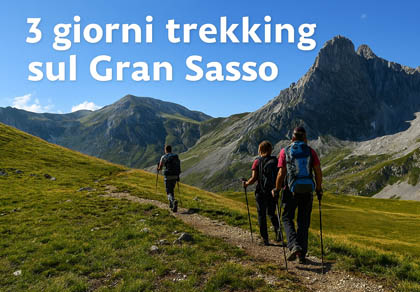
Itinerary, elevation profile and recommended mountain hutsUseful Information

| Trail Name | GPX | Difficulty | Url | Mountaineering | |
|---|---|---|---|---|---|
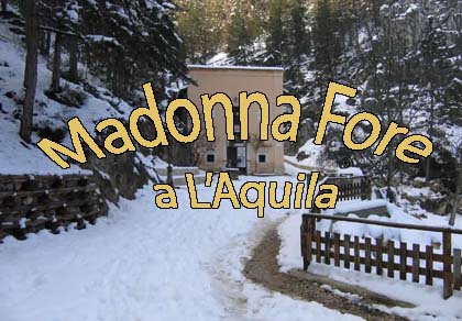
| Tempietto Sant'Eusamio / Fonte di Pietro Guardi | GPX | Map | Easy (Elevation gain 214 m, length 4.35 km, min altitude 1374 – max 1579) | Go | No |
| Fonte di Pietro Guardi / Montecristo | GPX | Map | Easy (Elevation gain 324 m, length 5.55 km, min altitude 1441 – max 1752) | Go | Yes |
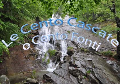
| 100 Waterfalls Trek (Cento Fonti) | GPX | Map | Easy (Elevation gain 324 m, length 5.55 km, min altitude 1441 – max 1752) | Go | Yes |
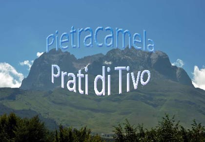
| Pietracamela – Prati di Tivo | GPX | Map | Easy (Elevation gain 587 m, length 11 km, min altitude 1033 – max 1534) | Go | Yes |
| Prati di Tivo | Various routes available, suitable for both mountaineering and trekking | Go | Yes | ||
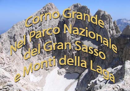
| Corno Grande Trek | GPX | Map | Easy (Elevation gain 976 m, length 10.20 km, min altitude 2145 – max 2912) | Go | Yes |
| Campo Imperatore | Ski-lift area: numerous trekking and ski-mountaineering routes available | Go | Yes | ||
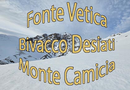
| Fonte Vetica, Desiati Bivouac | GPX | Map | Easy (Elevation gain 395 m, length 10 km, min altitude 1491 – max 1844) | Go | Yes |
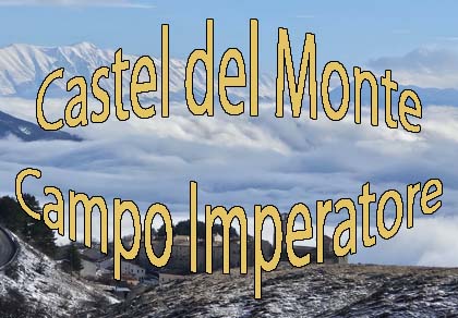
| Castel del Monte, Campo Imperatore Plateau | GPX | Map | Easy (Elevation gain 350 m, length 8 km, min altitude 1359 – max 1566 at our arrival point) | Go | No |
| Service / Center | Location | Phone | Fax |
|---|---|---|---|
| Head Office – Administrative Center | Assergi (AQ) | +39 0862 60521 | +39 0862 606675 |
| Cultural Heritage Center | Isola del Gran Sasso (TE) | +39 0861 97301 | +39 0861 9730230 |
| Scientific Center | Farindola (PE) | +39 085 823100 | +39 085 823100 |
| Agri-food Center | Amatrice (RI) | +39 0746 825390 | +39 0746 824074 |
| CTA/CFS Surveillance Service | Fonte Cerreto – Assergi (AQ) | +39 0862 606004 | — |
| Ce.D.A.P. – Documentation Center | Montorio al Vomano (TE) | +39 0861 606675 | — |
| Medical Emergencies | Entire Park | 118 | — |
| Forest Fire Emergency | Entire Park | 1515 | — |
🌐 Official Website of Gran Sasso and Monti della Laga National Park
A practical summary to plan and tackle the main trails safely. The map shows the routes we have covered and links to their dedicated pages.


The most popular ski resorts, the updated snow report and useful information on how to find lifts or book accommodation for your winter holiday
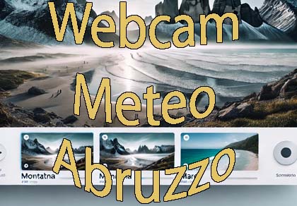
View the webcams in Abruzzo and check real‑time weather conditions. Some webcams belong to www.abruzzoparchi.it, others are located throughout the region
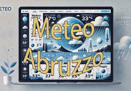
Weather forecasts for the coming days in Abruzzo. Live weather via our webcams and temperatures recorded in several mountain areas
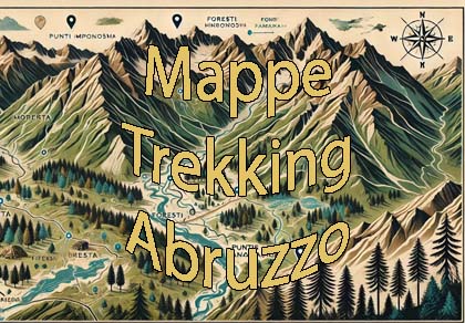
Maps for trekking, mountain biking, ski touring, running and horse riding. You can also download the GPX track of each route
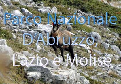
One of Italy’s most famous and oldest national parks
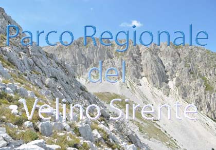
Located in the heart of the Apennines, home to the beautiful villages of the Rocche Plateau
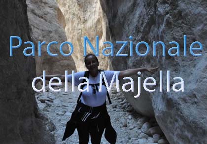
One of the snowiest places in Italy, a unique mountain massif rising close to the sea
Abruzzo’s villages are famous for their fortresses, mountains and the traditional trabocchi along the southern coast
Choose between sea or mountains, summer or winter, a sporty holiday or a relaxing one — Abruzzo has it all

Abruzzo is famous for its cuisine, both mountain and coastal, with traditions that vary from area to area
Walks, diving, climbing, mountain biking, horse riding — all outdoor activities available in Abruzzo
The most popular ski resorts, the updated snow report and useful information on how to find lifts or book accommodation for your winter holiday
Vai
View the webcams in Abruzzo and check real‑time weather conditions. Some webcams belong to www.abruzzoparchi.it, others are located throughout the region
Vai
Weather forecasts for the coming days in Abruzzo. Live weather via our webcams and temperatures recorded in several mountain areas
Vai
Maps for trekking, mountain biking, ski touring, running and horse riding. You can also download the GPX track of each route
Vai
Walks, diving, climbing, mountain biking, horse riding — all outdoor activities available in Abruzzo
Vai
Choose between sea or mountains, summer or winter, a sporty holiday or a relaxing one — Abruzzo has it all
Vai
Abruzzo is famous for its cuisine, both mountain and coastal, with traditions that vary from area to area
Vai
Abruzzo’s villages are famous for their fortresses, mountains and the traditional trabocchi along the southern coast
Vai
One of Italy’s most famous and oldest national parks
Vai
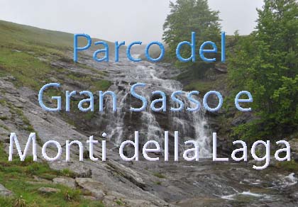
One of Italy’s wildest parks, with typical Apennine landscapes and Dolomite‑like peaks
Vai
Located in the heart of the Apennines, home to the beautiful villages of the Rocche Plateau
Vai
One of the snowiest places in Italy, a unique mountain massif rising close to the sea
Vai